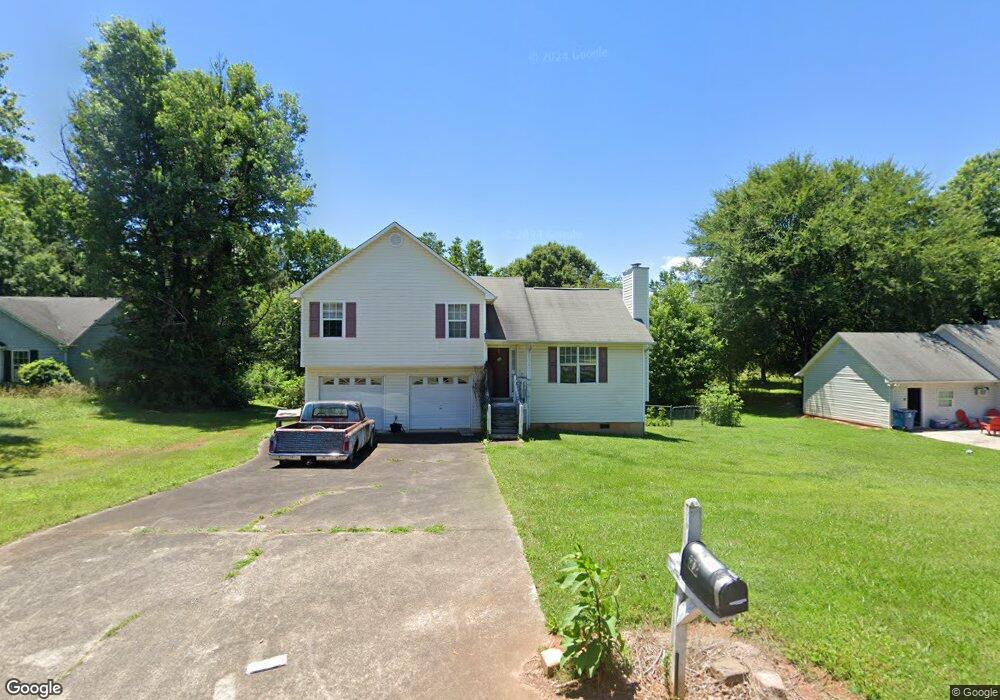
23 Manning Mill Way Adairsville, GA 30103
Estimated Value: $270,062 - $276,000
3
Beds
2
Baths
1,164
Sq Ft
$234/Sq Ft
Est. Value
About This Home
This home is located at 23 Manning Mill Way, Adairsville, GA 30103 and is currently estimated at $272,266, approximately $233 per square foot. 23 Manning Mill Way is a home located in Bartow County with nearby schools including Clear Creek Elementary School, Adairsville Middle School, and Adairsville High School.
Ownership History
Date
Name
Owned For
Owner Type
Purchase Details
Closed on
Jan 31, 2005
Sold by
Lemaster Sandra
Bought by
Jacobs Christopher J and Dow Jennifer
Current Estimated Value
Home Financials for this Owner
Home Financials are based on the most recent Mortgage that was taken out on this home.
Original Mortgage
$110,396
Outstanding Balance
$56,002
Interest Rate
5.72%
Mortgage Type
FHA
Estimated Equity
$216,264
Create a Home Valuation Report for This Property
The Home Valuation Report is an in-depth analysis detailing your home's value as well as a comparison with similar homes in the area
Home Values in the Area
Average Home Value in this Area
Purchase History
| Date | Buyer | Sale Price | Title Company |
|---|---|---|---|
| Jacobs Christopher J | $112,129 | -- |
Source: Public Records
Mortgage History
| Date | Status | Borrower | Loan Amount |
|---|---|---|---|
| Open | Jacobs Christopher J | $110,396 |
Source: Public Records
Tax History Compared to Growth
Tax History
| Year | Tax Paid | Tax Assessment Tax Assessment Total Assessment is a certain percentage of the fair market value that is determined by local assessors to be the total taxable value of land and additions on the property. | Land | Improvement |
|---|---|---|---|---|
| 2024 | $2,167 | $90,085 | $20,000 | $70,085 |
| 2023 | $2,189 | $79,003 | $20,000 | $59,003 |
| 2022 | $1,709 | $67,307 | $16,000 | $51,307 |
| 2021 | $1,432 | $53,668 | $16,000 | $37,668 |
| 2020 | $1,474 | $53,668 | $16,000 | $37,668 |
| 2019 | $1,254 | $50,164 | $16,000 | $34,164 |
| 2018 | $1,074 | $43,536 | $10,000 | $33,536 |
| 2017 | $1,079 | $43,536 | $10,000 | $33,536 |
| 2016 | $916 | $37,480 | $6,000 | $31,480 |
| 2015 | $829 | $34,320 | $4,000 | $30,320 |
| 2014 | $833 | $33,520 | $6,000 | $27,520 |
| 2013 | -- | $29,800 | $6,400 | $23,400 |
Source: Public Records
Map
Nearby Homes
- 141 Village Green Dr NW
- 111 Village Green Dr NW
- 111 Village Green Dr NW Unit 168
- 109 Village Green Dr NW
- 107 Village Green Dr NW
- 107 Village Green Dr NW Unit 170
- 105 Village Green Dr NW Unit 171
- 105 Village Green Dr NW
- 311 Rolling Green Dr NW
- 317 Rolling Green Dr NW
- 323 Rolling Green Dr NW
- 5194 Joe Frank Harris Pkwy NW
- 118 Manning Mill Rd NW
- 103 Heritage Dr NW
- 14 Station Ct
- 509 Fieldwood Dr NW
- 0 Fieldwood Dr NW Unit 10452635
- 5 Woodland Bridge Dr
- 21 Madison Ln
- 27 Madison Ln
- 00 Millers Way
- 25 Manning Mill Way Unit 231
- 25 Manning Mill Way
- 25 Manning Mill Way
- 19 Manning Mill Way
- 27 Manning Mill Way
- 20 Manning Mill Way
- 10 Millstone Point
- 11 Millstone Point
- 17 Manning Mill Way
- 29 Manning Mill Way
- 38 Horseshow Rd NW
- 10 Millers Way
- 36 Horseshow Rd NW
- 40 Horseshow Rd NW
- 00 Manning Mill Way
- 13 Millers Way
- 15 Manning Mill Way
- 32 Manning Mill Way
- 34 Horse Show Rd NW