23 Many Oaks Cir Yarmouth Port, MA 02675
Yarmouth Port NeighborhoodEstimated Value: $764,000 - $877,000
3
Beds
3
Baths
2,076
Sq Ft
$390/Sq Ft
Est. Value
About This Home
This home is located at 23 Many Oaks Cir, Yarmouth Port, MA 02675 and is currently estimated at $809,630, approximately $389 per square foot. 23 Many Oaks Cir is a home located in Barnstable County with nearby schools including Dennis-Yarmouth Regional High School.
Ownership History
Date
Name
Owned For
Owner Type
Purchase Details
Closed on
Aug 7, 1992
Sold by
Thomas Grew Inc
Bought by
Dockham Robert G and Dockham Jo Ellen L
Current Estimated Value
Home Financials for this Owner
Home Financials are based on the most recent Mortgage that was taken out on this home.
Original Mortgage
$126,000
Interest Rate
8.4%
Mortgage Type
Purchase Money Mortgage
Create a Home Valuation Report for This Property
The Home Valuation Report is an in-depth analysis detailing your home's value as well as a comparison with similar homes in the area
Home Values in the Area
Average Home Value in this Area
Purchase History
| Date | Buyer | Sale Price | Title Company |
|---|---|---|---|
| Dockham Robert G | $140,000 | -- |
Source: Public Records
Mortgage History
| Date | Status | Borrower | Loan Amount |
|---|---|---|---|
| Open | Dockham Robert G | $306,000 | |
| Closed | Dockham Robert G | $165,000 | |
| Closed | Dockham Robert G | $60,000 | |
| Closed | Dockham Robert G | $126,000 |
Source: Public Records
Tax History Compared to Growth
Tax History
| Year | Tax Paid | Tax Assessment Tax Assessment Total Assessment is a certain percentage of the fair market value that is determined by local assessors to be the total taxable value of land and additions on the property. | Land | Improvement |
|---|---|---|---|---|
| 2025 | $5,161 | $729,000 | $247,100 | $481,900 |
| 2024 | $4,779 | $647,600 | $215,000 | $432,600 |
| 2023 | $4,675 | $576,500 | $181,400 | $395,100 |
| 2022 | $4,235 | $461,300 | $162,500 | $298,800 |
| 2021 | $4,171 | $436,300 | $162,500 | $273,800 |
| 2020 | $4,010 | $401,000 | $159,900 | $241,100 |
| 2019 | $3,758 | $372,100 | $159,900 | $212,200 |
| 2018 | $5,266 | $362,700 | $150,500 | $212,200 |
| 2017 | $3,634 | $362,700 | $150,500 | $212,200 |
| 2016 | $3,620 | $362,700 | $150,500 | $212,200 |
| 2015 | $3,517 | $350,300 | $150,500 | $199,800 |
Source: Public Records
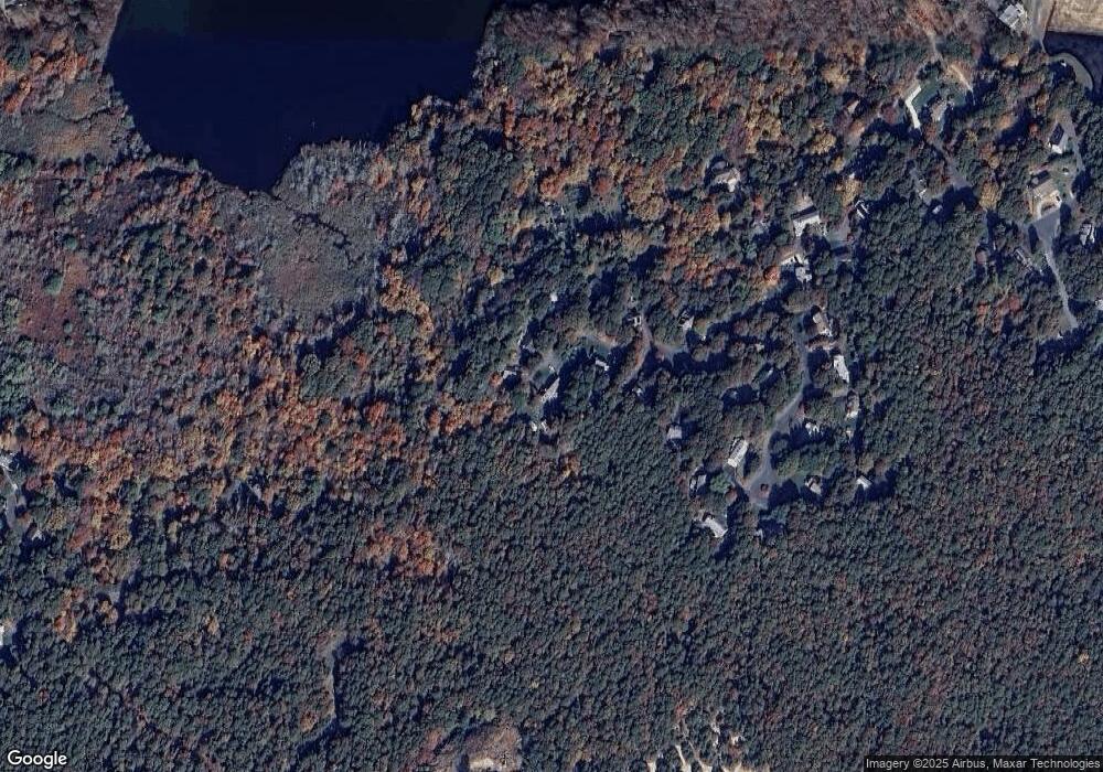
Map
Nearby Homes
- 24 Many Oaks Cir
- 21 Many Oaks Cir
- 22 Many Oaks Cir
- 20 Many Oaks Cir
- 19 Many Oaks Cir
- 0 Weir Rd Unit 2029093
- 0 Weir Rd Unit 2002625
- 0 Weir Rd Unit 9904550
- 0 Weir Rd Unit 9904547
- 0 Weir Rd Unit 9901346
- 0 Weir Rd Unit 2 2020632
- 0 Weir Rd
- 9 Many Oaks Cir
- 18 Many Oaks Cir
- 15 Many Oaks Cir
- 275 Weir Rd
- 8 Many Oaks Cir
- 11 Many Oaks Cir
- 280 Weir Rd
- 41 Tall Pines Dr