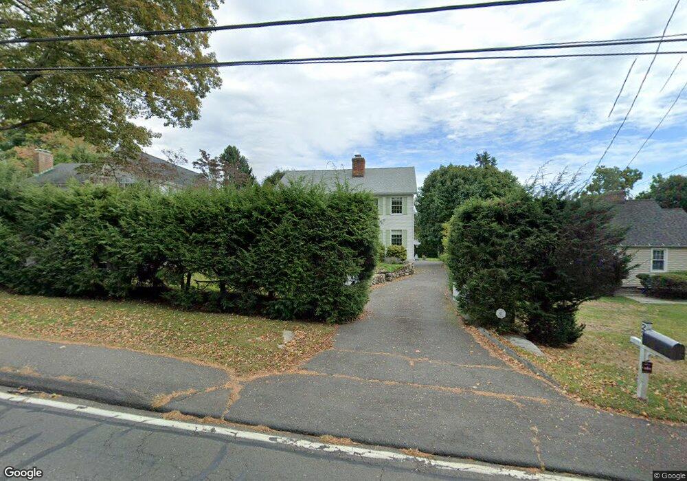
23 Maple Ave S Westport, CT 06880
Greens Farms NeighborhoodEstimated Value: $1,800,000 - $2,182,000
4
Beds
3
Baths
3,000
Sq Ft
$650/Sq Ft
Est. Value
About This Home
This home is located at 23 Maple Ave S, Westport, CT 06880 and is currently estimated at $1,949,995, approximately $649 per square foot. 23 Maple Ave S is a home located in Fairfield County with nearby schools including Green's Farms School, Bedford Middle School, and Staples High School.
Ownership History
Date
Name
Owned For
Owner Type
Purchase Details
Closed on
Sep 13, 2011
Sold by
Stelnmetz David P
Bought by
Fisk Sally R and Fisk Stephen E
Current Estimated Value
Home Financials for this Owner
Home Financials are based on the most recent Mortgage that was taken out on this home.
Original Mortgage
$660,000
Outstanding Balance
$458,813
Interest Rate
4.58%
Estimated Equity
$1,491,182
Purchase Details
Closed on
Feb 18, 1997
Sold by
Park Alan and Park Melinda
Bought by
Steinmetz David and Steinmetz Pam
Purchase Details
Closed on
Jun 2, 1995
Sold by
Swenn Ronald and Swenn Martha
Bought by
Park Alan and Park Melina
Create a Home Valuation Report for This Property
The Home Valuation Report is an in-depth analysis detailing your home's value as well as a comparison with similar homes in the area
Home Values in the Area
Average Home Value in this Area
Purchase History
| Date | Buyer | Sale Price | Title Company |
|---|---|---|---|
| Fisk Sally R | $960,000 | -- | |
| Fisk Sally R | $960,000 | -- | |
| Steinmetz David | $500,000 | -- | |
| Steinmetz David | $500,000 | -- | |
| Park Alan | $490,000 | -- | |
| Park Alan | $490,000 | -- |
Source: Public Records
Mortgage History
| Date | Status | Borrower | Loan Amount |
|---|---|---|---|
| Open | Fisk Sally R | $660,000 | |
| Closed | Park Alan | $660,000 | |
| Previous Owner | Park Alan | $267,800 | |
| Previous Owner | Park Alan | $300,700 |
Source: Public Records
Tax History
| Year | Tax Paid | Tax Assessment Tax Assessment Total Assessment is a certain percentage of the fair market value that is determined by local assessors to be the total taxable value of land and additions on the property. | Land | Improvement |
|---|---|---|---|---|
| 2025 | $13,030 | $690,900 | $342,200 | $348,700 |
| 2024 | $12,865 | $690,900 | $342,200 | $348,700 |
| 2023 | $12,678 | $690,900 | $342,200 | $348,700 |
| 2022 | $12,485 | $690,900 | $342,200 | $348,700 |
| 2021 | $12,485 | $690,900 | $342,200 | $348,700 |
| 2020 | $12,997 | $777,800 | $346,900 | $430,900 |
| 2019 | $13,114 | $777,800 | $346,900 | $430,900 |
| 2018 | $13,114 | $777,800 | $346,900 | $430,900 |
| 2017 | $12,515 | $742,300 | $346,900 | $395,400 |
| 2016 | $12,515 | $742,300 | $346,900 | $395,400 |
| 2015 | $10,447 | $577,500 | $262,400 | $315,100 |
| 2014 | $10,360 | $577,500 | $262,400 | $315,100 |
Source: Public Records
Map
Nearby Homes
- 36 Maple Ave S
- 220 Lansdowne
- 310 Lansdowne Unit 310
- 1 Dexter Rd
- 2 Fairport Rd
- 18 Woodhill Rd
- 25 Old Rd
- 32 Bauer Place Extension
- 1 Flower Farm Ln
- 1 Coastal Ct
- 40 Maple Ave N
- 125 Old Rd
- 107 Old Rd
- 342 Greens Farms Rd
- 86 Maple Ave S
- 28 Turkey Hill Rd N
- 26 Morningside Dr S
- 485 Westway Rd Unit 485
- 491 Westway Rd Unit 491
- 8 Iris Ln
Your Personal Tour Guide
Ask me questions while you tour the home.