23 Maple Wing Dr Central Islip, NY 11722
Estimated Value: $516,893 - $520,000
Studio
--
Bath
--
Sq Ft
1,307
Sq Ft Lot
About This Home
This home is located at 23 Maple Wing Dr, Central Islip, NY 11722 and is currently estimated at $518,964. 23 Maple Wing Dr is a home located in Suffolk County with nearby schools including Anthony Alfano Elementary School and Central Islip Senior High School.
Ownership History
Date
Name
Owned For
Owner Type
Purchase Details
Closed on
Jun 7, 2024
Sold by
Browne Patricia
Bought by
Patricia Browne Irt and Roper
Current Estimated Value
Purchase Details
Closed on
Jun 2, 1998
Sold by
Cestaro Antoinette and Cestaro Louise M
Bought by
Browne Michael and Browne Patricia
Home Financials for this Owner
Home Financials are based on the most recent Mortgage that was taken out on this home.
Original Mortgage
$25,000
Interest Rate
7.09%
Create a Home Valuation Report for This Property
The Home Valuation Report is an in-depth analysis detailing your home's value as well as a comparison with similar homes in the area
Home Values in the Area
Average Home Value in this Area
Purchase History
| Date | Buyer | Sale Price | Title Company |
|---|---|---|---|
| Patricia Browne Irt | -- | None Available | |
| Patricia Browne Irt | -- | None Available | |
| Browne Michael | $147,000 | Fidelity National Title Ins | |
| Browne Michael | $147,000 | Fidelity National Title Ins |
Source: Public Records
Mortgage History
| Date | Status | Borrower | Loan Amount |
|---|---|---|---|
| Previous Owner | Browne Michael | $25,000 |
Source: Public Records
Tax History
| Year | Tax Paid | Tax Assessment Tax Assessment Total Assessment is a certain percentage of the fair market value that is determined by local assessors to be the total taxable value of land and additions on the property. | Land | Improvement |
|---|---|---|---|---|
| 2024 | -- | $29,700 | $6,400 | $23,300 |
| 2023 | -- | $29,700 | $6,400 | $23,300 |
| 2022 | $5,435 | $29,700 | $6,400 | $23,300 |
| 2021 | $5,435 | $29,700 | $6,400 | $23,300 |
| 2020 | $8,314 | $29,700 | $6,400 | $23,300 |
| 2019 | $5,435 | $0 | $0 | $0 |
| 2018 | -- | $29,700 | $6,400 | $23,300 |
| 2017 | $5,271 | $29,700 | $6,400 | $23,300 |
| 2016 | $5,340 | $29,700 | $6,400 | $23,300 |
| 2015 | -- | $29,700 | $6,400 | $23,300 |
| 2014 | -- | $29,700 | $6,400 | $23,300 |
Source: Public Records
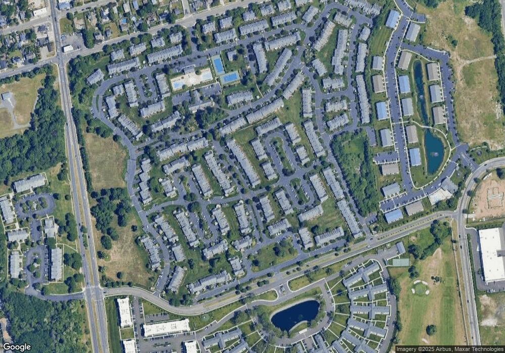
Map
Nearby Homes
- 106 Northwood Blvd
- 115 Weatherby Ln
- 100 Weatherby Ln Unit 100
- 11 Northwood Blvd
- 96 Somerton Ave
- 37 Weatherby Ln
- 138 Weatherby Ln
- 11 Hunter Dr
- 330 Irving St
- 410 Elmore St
- 2 Cherry St
- 345 Elmore St
- 116 Maya Cir
- 255 Elmore St
- 245 Elmore St
- 321 Medea Way
- 16 E Chestnut St
- 307 Medea Way
- 10 Hickory St
- 17 Cedar St
- 21 Maple Wing Dr
- 25 Maple Wing Dr
- 27 Maple Wing Dr
- 19 Maple Wing Dr
- 29 Maple Wing Dr
- 31 Maple Wing Dr
- 23 Summerfield Cir
- 22 Summerfield Cir
- 24 Summerfield Cir
- 24 Summerfield Cir
- 33 Maple Wing Dr
- 25 Summerfield Cir
- 21 Summerfield Cir
- 35 Maple Wing Dr
- 20 Summerfield Cir
- 11 Maple Wing Dr
- 24 Maple Wing Dr
- 26 Maple Wing Dr
- 20 Maple Wing Dr Unit 22
- 37 Maple Wing Dr
Your Personal Tour Guide
Ask me questions while you tour the home.