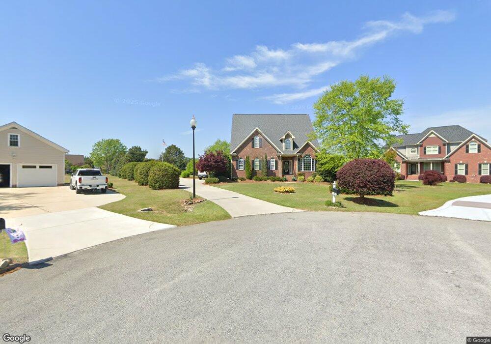
23 Meadowwood Ct Angier, NC 27501
Estimated Value: $423,155 - $496,000
5
Beds
4
Baths
3,016
Sq Ft
$157/Sq Ft
Est. Value
About This Home
This home is located at 23 Meadowwood Ct, Angier, NC 27501 and is currently estimated at $472,039, approximately $156 per square foot. 23 Meadowwood Ct is a home located in Harnett County with nearby schools including Angier Elementary School, North Harnett Primary School, and Harnett Central Middle School.
Ownership History
Date
Name
Owned For
Owner Type
Purchase Details
Closed on
Aug 20, 2020
Sold by
Gregory Derek G and Gregory Jana Howard
Bought by
Larrison Larry
Current Estimated Value
Home Financials for this Owner
Home Financials are based on the most recent Mortgage that was taken out on this home.
Original Mortgage
$338,000
Outstanding Balance
$299,830
Interest Rate
3%
Mortgage Type
New Conventional
Estimated Equity
$172,209
Purchase Details
Closed on
Dec 19, 2003
Bought by
Gregory Derek G
Create a Home Valuation Report for This Property
The Home Valuation Report is an in-depth analysis detailing your home's value as well as a comparison with similar homes in the area
Home Values in the Area
Average Home Value in this Area
Purchase History
| Date | Buyer | Sale Price | Title Company |
|---|---|---|---|
| Larrison Larry | $338,000 | None Available | |
| Gregory Derek G | $171,500 | -- |
Source: Public Records
Mortgage History
| Date | Status | Borrower | Loan Amount |
|---|---|---|---|
| Open | Larrison Larry | $338,000 |
Source: Public Records
Tax History Compared to Growth
Tax History
| Year | Tax Paid | Tax Assessment Tax Assessment Total Assessment is a certain percentage of the fair market value that is determined by local assessors to be the total taxable value of land and additions on the property. | Land | Improvement |
|---|---|---|---|---|
| 2025 | $1,892 | $312,298 | $0 | $0 |
| 2024 | $1,892 | $312,298 | $0 | $0 |
| 2023 | $1,865 | $312,298 | $0 | $0 |
| 2022 | $1,697 | $312,298 | $0 | $0 |
| 2021 | $1,697 | $241,610 | $0 | $0 |
| 2020 | $2,066 | $241,610 | $0 | $0 |
| 2019 | $2,051 | $241,610 | $0 | $0 |
| 2018 | $2,051 | $241,610 | $0 | $0 |
| 2017 | $2,051 | $241,610 | $0 | $0 |
| 2016 | $2,207 | $260,570 | $0 | $0 |
| 2015 | $2,207 | $260,570 | $0 | $0 |
| 2014 | $2,207 | $260,570 | $0 | $0 |
Source: Public Records
Map
Nearby Homes
- 21 Silver Pine Dr
- 25 Silver Pine Dr
- 17 Silver Pine Dr
- 13 Silver Pine Dr
- 11 Silver Pine Dr
- Redwood Plan at Vaughan Farms
- Shenandoah Plan at Vaughan Farms
- Aurora II Plan at Vaughan Farms
- Summit Plan at Vaughan Farms
- Cascades Plan at Vaughan Farms
- Glades Plan at Vaughan Farms
- Aurora Plan at Vaughan Farms
- 18 Twin Birch Dr
- 22 Twin Birch Dr
- 190 Thistle Patch Place
- 591 White Birch Ln
- 37 Hoff Ct
- 44 Twin Birch Dr
- 52 Twin Birch Dr
- 56 Twin Birch Dr
- 24 Meadowwood Ct
- 148 Braxtonwood Dr
- 110 Braxtonwood Dr
- 48 Braxtonwood Dr
- 170 Braxtonwood Dr
- 127 Braxtonwood Dr
- 6243 Nc 55 W
- 59 Braxtonwood Dr
- 109 Braxtonwood Dr
- 6277 Nc 55 W
- 19 Braxtonwood Dr
- 19 Braxtonwood Dr Unit 19
- 204 Braxtonwood Dr
- 151 Braxtonwood Dr
- 19 Braxtonwood Dr
- 183 Braxtonwood Dr
- 3 Braxtonwood Dr
- 226 Braxtonwood Dr
- 207 Braxtonwood Dr
- 660 Ennis Rd