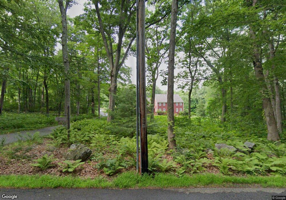
23 Merriam Rd Grafton, MA 01519
Estimated Value: $926,000 - $1,193,331
5
Beds
3
Baths
3,232
Sq Ft
$317/Sq Ft
Est. Value
About This Home
This home is located at 23 Merriam Rd, Grafton, MA 01519 and is currently estimated at $1,024,083, approximately $316 per square foot. 23 Merriam Rd is a home located in Worcester County with nearby schools including Grafton High School, Silver Spruce Montessori School, and Touchstone Community School.
Create a Home Valuation Report for This Property
The Home Valuation Report is an in-depth analysis detailing your home's value as well as a comparison with similar homes in the area
Home Values in the Area
Average Home Value in this Area
Tax History Compared to Growth
Tax History
| Year | Tax Paid | Tax Assessment Tax Assessment Total Assessment is a certain percentage of the fair market value that is determined by local assessors to be the total taxable value of land and additions on the property. | Land | Improvement |
|---|---|---|---|---|
| 2025 | $14,428 | $1,035,000 | $236,600 | $798,400 |
| 2024 | $14,168 | $990,100 | $226,000 | $764,100 |
| 2023 | $13,008 | $828,000 | $226,000 | $602,000 |
| 2022 | $12,199 | $722,700 | $195,600 | $527,100 |
| 2021 | $11,914 | $693,500 | $178,900 | $514,600 |
| 2020 | $11,281 | $683,700 | $178,900 | $504,800 |
| 2019 | $10,809 | $648,800 | $152,300 | $496,500 |
| 2018 | $10,568 | $637,000 | $151,900 | $485,100 |
| 2017 | $10,342 | $630,600 | $145,500 | $485,100 |
| 2016 | $9,001 | $537,400 | $131,000 | $406,400 |
| 2015 | $8,823 | $534,700 | $124,200 | $410,500 |
| 2014 | $8,298 | $543,800 | $149,800 | $394,000 |
Source: Public Records
Map
Nearby Homes
- 63 North St
- 66 North St
- 8 Chestnut St
- 16 Clearview St
- 25 Clearview St
- 17 Worcester St
- 4 Abby Rd
- 11 1/2 Carroll Rd Unit B
- 49 South St
- 55 Estabrook St
- 55 Carroll Rd
- 1 Doris Dr
- 63 Providence Rd Unit 2
- 9 Logan Path
- 30 Nottingham Rd
- 42 Gordon Cir Unit 42
- 168 Upton St Unit 8
- 7 Pleasant St
- 29 Pullard Rd
- 8 Hudson Ave