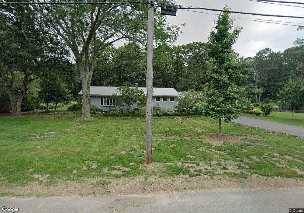
23 Morningside Ln Lincoln, MA 01773
Estimated Value: $1,039,000 - $1,564,000
3
Beds
4
Baths
2,618
Sq Ft
$492/Sq Ft
Est. Value
About This Home
This home is located at 23 Morningside Ln, Lincoln, MA 01773 and is currently estimated at $1,286,843, approximately $491 per square foot. 23 Morningside Ln is a home located in Middlesex County with nearby schools including Lincoln-Sudbury Regional High School, Tremont School, and Concord Academy.
Ownership History
Date
Name
Owned For
Owner Type
Purchase Details
Closed on
Sep 29, 1995
Sold by
Garth John C and Garth Nancy M
Bought by
Weinstein Sharon R
Current Estimated Value
Home Financials for this Owner
Home Financials are based on the most recent Mortgage that was taken out on this home.
Original Mortgage
$265,500
Interest Rate
7.89%
Mortgage Type
Purchase Money Mortgage
Create a Home Valuation Report for This Property
The Home Valuation Report is an in-depth analysis detailing your home's value as well as a comparison with similar homes in the area
Home Values in the Area
Average Home Value in this Area
Purchase History
| Date | Buyer | Sale Price | Title Company |
|---|---|---|---|
| Weinstein Sharon R | $295,000 | -- |
Source: Public Records
Mortgage History
| Date | Status | Borrower | Loan Amount |
|---|---|---|---|
| Open | Weinstein Sharon R | $240,000 | |
| Closed | Weinstein Sharon R | $275,000 | |
| Closed | Weinstein Sharon R | $265,500 |
Source: Public Records
Tax History Compared to Growth
Tax History
| Year | Tax Paid | Tax Assessment Tax Assessment Total Assessment is a certain percentage of the fair market value that is determined by local assessors to be the total taxable value of land and additions on the property. | Land | Improvement |
|---|---|---|---|---|
| 2025 | $128 | $1,000,900 | $657,900 | $343,000 |
| 2024 | $12,235 | $949,200 | $645,000 | $304,200 |
| 2023 | $12,166 | $874,000 | $594,100 | $279,900 |
| 2022 | $11,690 | $783,000 | $537,000 | $246,000 |
| 2021 | $10,956 | $705,900 | $475,200 | $230,700 |
| 2020 | $10,812 | $703,900 | $475,200 | $228,700 |
| 2019 | $9,389 | $669,200 | $460,300 | $208,900 |
| 2018 | $9,101 | $669,200 | $460,300 | $208,900 |
| 2017 | $8,787 | $641,400 | $434,500 | $206,900 |
| 2016 | $8,765 | $626,500 | $421,600 | $204,900 |
| 2015 | $8,272 | $584,600 | $390,400 | $194,200 |
| 2014 | $7,722 | $535,900 | $349,600 | $186,300 |
Source: Public Records
Map
Nearby Homes
- 29 S Commons Unit D
- 5 South Commons Unit D
- 36 Indian Camp Ln Unit D
- 16 Old Cambridge Turnpike
- 22 Old Cambridge Turnpike
- 241 Shadyside Ave
- 646 Cambridge Turnpike
- 9 Garland Rd
- 10 Reiling Pond Rd
- 84 Davison Dr
- 69 Page Rd
- 22 Lincoln Rd
- 60 Baker Bridge Rd
- 16 Hatch Farm Ln
- 8 Stratford Way
- 10 Hatch Farm Ln
- 28 Hatch Farm Ln
- 44 Baker Bridge Rd
- 96 Independence Rd
- 644 Old Bedford Rd
- 20 Morningside Ln
- 25 Morningside Ln
- 19 Morningside Ln
- 26 Morningside Ln
- 26 Morningside Ln Unit 1
- 17 Morningside Ln
- 30 Morningside Ln
- 30 Morningside Ln
- 27 Morningside Ln
- 14 Morningside Ln
- 15 Morningside Ln
- 8 Brooks Hill Rd
- 31 Morningside Ln
- 6 Brooks Hill Rd
- 34 Morningside Ln
- 12 Morningside Ln
- 4 Brooks Hill Rd
- 10 Bedford Ln
- 7 Sunnyside Ln
- 10 Brooks Hill Rd