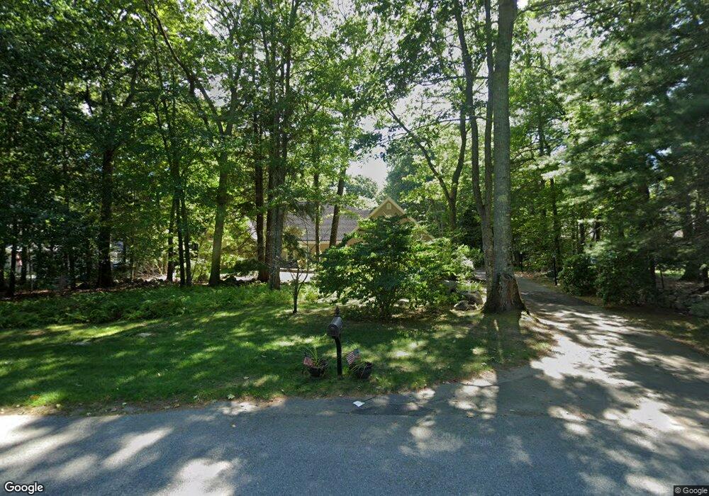
23 Munsey Dr Hampton, NH 03842
Estimated Value: $1,587,000 - $1,654,000
About This Home
This home is located at 23 Munsey Dr, Hampton, NH 03842 and is currently estimated at $1,620,500, approximately $300 per square foot. 23 Munsey Dr is a home located in Rockingham County with nearby schools including Hampton Centre School, Adeline C. Marston Elementary School, and Hampton Academy.
Ownership History
We collect this data history from publicly available records. To have your information removed, we recommend requesting removal directly through your county’s website.
Purchase Details
Purchase Details
Home Financials for this Owner
Home Financials are based on the most recent Mortgage that was taken out on this home.Purchase Details
Home Financials for this Owner
Home Financials are based on the most recent Mortgage that was taken out on this home.Home Values in the Area
Average Home Value in this Area
Purchase History
We collect this data history from publicly available records. To have your information removed, we recommend requesting removal directly through your county’s website.
| Date | Buyer | Sale Price | Title Company |
|---|---|---|---|
| -- | None Available | ||
| -- | None Available | ||
| $789,900 | -- | ||
| $789,900 | -- | ||
| $635,000 | -- | ||
| $635,000 | -- |
Mortgage History
We collect this data history from publicly available records. To have your information removed, we recommend requesting removal directly through your county’s website.
| Date | Status | Borrower | Loan Amount |
|---|---|---|---|
| Previous Owner | $450,000 | ||
| Previous Owner | $631,920 | ||
| Previous Owner | $508,000 |
Tax History
We collect this data history from publicly available records. To have your information removed, we recommend requesting removal directly through your county’s website.
| Year | Tax Paid | Tax Assessment Tax Assessment Total Assessment is a certain percentage of the fair market value that is determined by local assessors to be the total taxable value of land and additions on the property. | Land | Improvement |
|---|---|---|---|---|
| 2025 | $17,525 | $1,422,500 | $332,100 | $1,090,400 |
| 2024 | $17,525 | $1,422,500 | $332,100 | $1,090,400 |
| 2023 | $17,304 | $1,033,100 | $226,400 | $806,700 |
| 2022 | $16,364 | $1,033,100 | $226,400 | $806,700 |
| 2021 | $16,364 | $1,033,100 | $226,400 | $806,700 |
| 2020 | $16,433 | $1,031,600 | $226,400 | $805,200 |
| 2019 | $16,516 | $1,031,600 | $226,400 | $805,200 |
| 2018 | $14,682 | $901,800 | $207,200 | $694,600 |
| 2017 | $14,293 | $901,800 | $207,200 | $694,600 |
| 2016 | $13,563 | $901,800 | $207,200 | $694,600 |
Map
- 13 Rockrimmon Rd
- 6 Dacotah St
- 8 Shiprock Rd
- 29 Barbour Rd
- 2 Bayberry Ln
- 20 Huckleberry Ln
- 1 Mccarron Dr
- 23 Cusack Rd Unit 29
- 55 Mill Rd
- 15 Cusack Rd
- 467 High St Unit 14
- 933 Ocean Blvd Unit 308
- 61 Acorn Rd
- 947 Ocean Blvd Unit 10
- 951 Ocean Blvd Unit 1
- 4 Sherburne Dr
- 39 Mill Rd
- 975 Ocean Blvd Unit 1
- 190 Kings Hwy Unit A8
- 190 Kings Hwy Unit A1
Ask me questions while you tour the home.