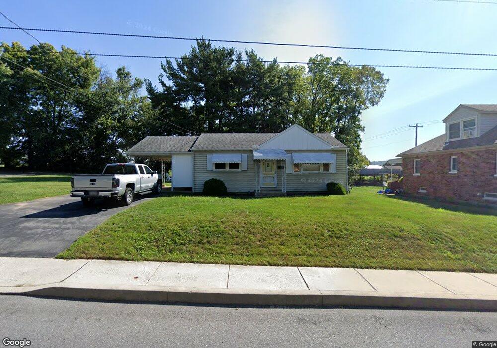
23 N Bank St Marietta, PA 17547
Estimated Value: $178,000 - $217,149
2
Beds
2
Baths
768
Sq Ft
$262/Sq Ft
Est. Value
About This Home
This home is located at 23 N Bank St, Marietta, PA 17547 and is currently estimated at $201,037, approximately $261 per square foot. 23 N Bank St is a home located in Lancaster County with nearby schools including Donegal Intermediate School, Donegal High School, and Susquehanna Waldorf School.
Ownership History
Date
Name
Owned For
Owner Type
Purchase Details
Closed on
Oct 16, 2020
Sold by
Range Larry L and Sload Lee Ann
Bought by
Snyder Cory A
Current Estimated Value
Home Financials for this Owner
Home Financials are based on the most recent Mortgage that was taken out on this home.
Original Mortgage
$124,242
Outstanding Balance
$110,507
Interest Rate
2.9%
Mortgage Type
New Conventional
Estimated Equity
$90,530
Create a Home Valuation Report for This Property
The Home Valuation Report is an in-depth analysis detailing your home's value as well as a comparison with similar homes in the area
Home Values in the Area
Average Home Value in this Area
Purchase History
| Date | Buyer | Sale Price | Title Company |
|---|---|---|---|
| Snyder Cory A | $123,000 | Cumberland Settlements |
Source: Public Records
Mortgage History
| Date | Status | Borrower | Loan Amount |
|---|---|---|---|
| Open | Snyder Cory A | $124,242 |
Source: Public Records
Tax History Compared to Growth
Tax History
| Year | Tax Paid | Tax Assessment Tax Assessment Total Assessment is a certain percentage of the fair market value that is determined by local assessors to be the total taxable value of land and additions on the property. | Land | Improvement |
|---|---|---|---|---|
| 2025 | $2,603 | $89,200 | $31,800 | $57,400 |
| 2024 | $2,603 | $89,200 | $31,800 | $57,400 |
| 2023 | $2,595 | $89,200 | $31,800 | $57,400 |
| 2022 | $2,578 | $89,200 | $31,800 | $57,400 |
| 2021 | $2,447 | $89,200 | $31,800 | $57,400 |
| 2020 | $2,447 | $89,200 | $31,800 | $57,400 |
| 2019 | $2,406 | $89,200 | $31,800 | $57,400 |
| 2018 | $1,492 | $89,200 | $31,800 | $57,400 |
| 2017 | $2,825 | $86,400 | $32,800 | $53,600 |
| 2016 | $2,825 | $86,400 | $32,800 | $53,600 |
| 2015 | $884 | $86,400 | $32,800 | $53,600 |
| 2014 | $1,773 | $86,400 | $32,800 | $53,600 |
Source: Public Records
Map
Nearby Homes
- 501 E Front St
- 106 Acanthus St
- 210 Sable Dr
- 28 E Front St
- 258 W Fairview Ave
- 281 W Walnut St
- 204 N Biddle St
- 419 Coffee Goss Rd
- 341 Sload Cir
- 223 Coffee Goss Rd
- 219 Coffee Goss Rd
- 289 Rock Point Rd
- 286 Rock Point Rd
- 80 Chelmsford Dr
- 113 Appaloosa Dr
- 1318 Habecker Rd
- 528 Phillips Dr
- 119 S River St
- 532 Phillips Dr
- 1006 Stellar Dr