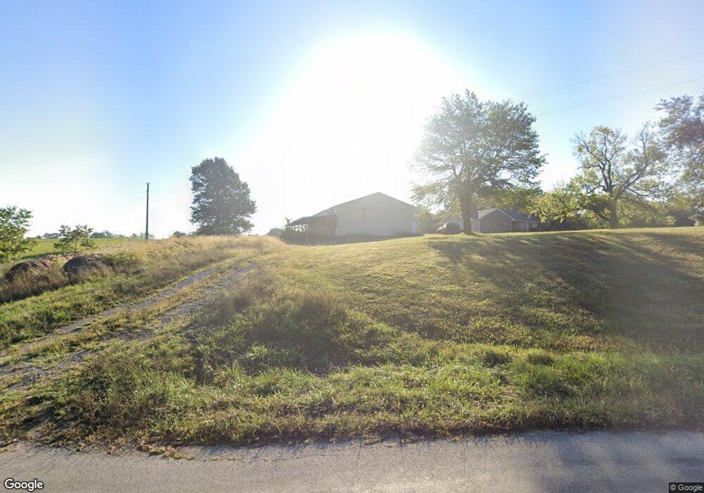
23 NE 641 Knob Noster, MO 65336
Estimated Value: $259,012 - $378,000
Studio
--
Bath
1,502
Sq Ft
$212/Sq Ft
Est. Value
About This Home
This home is located at 23 NE 641, Knob Noster, MO 65336 and is currently estimated at $319,004, approximately $212 per square foot. 23 NE 641 is a home located in Johnson County with nearby schools including Knob Noster High School.
Ownership History
Date
Name
Owned For
Owner Type
Purchase Details
Closed on
Mar 13, 2025
Sold by
Collins Diane M
Bought by
Diane M Collins Trust and Collins
Current Estimated Value
Purchase Details
Closed on
May 23, 2024
Sold by
Collins Stuart Randall
Bought by
Collins Diane Marie
Purchase Details
Closed on
Mar 29, 2013
Sold by
Coates William W and Coates Jennifer J
Bought by
Collins Stuart R and Collins Diane M
Home Financials for this Owner
Home Financials are based on the most recent Mortgage that was taken out on this home.
Original Mortgage
$120,000
Interest Rate
3.59%
Mortgage Type
Future Advance Clause Open End Mortgage
Create a Home Valuation Report for This Property
The Home Valuation Report is an in-depth analysis detailing your home's value as well as a comparison with similar homes in the area
Purchase History
| Date | Buyer | Sale Price | Title Company |
|---|---|---|---|
| Diane M Collins Trust | -- | None Listed On Document | |
| Collins Diane Marie | -- | None Listed On Document | |
| Collins Stuart R | -- | None Available |
Source: Public Records
Mortgage History
| Date | Status | Borrower | Loan Amount |
|---|---|---|---|
| Previous Owner | Collins Stuart R | $120,000 |
Source: Public Records
Tax History
| Year | Tax Paid | Tax Assessment Tax Assessment Total Assessment is a certain percentage of the fair market value that is determined by local assessors to be the total taxable value of land and additions on the property. | Land | Improvement |
|---|---|---|---|---|
| 2024 | $1,284 | $20,304 | $0 | $0 |
| 2023 | $1,119 | $20,304 | $0 | $0 |
| 2022 | $1,071 | $19,422 | $0 | $0 |
| 2021 | $1,066 | $19,422 | $0 | $0 |
| 2020 | $1,037 | $18,538 | $0 | $0 |
| 2019 | $995 | $18,538 | $0 | $0 |
| 2017 | $921 | $18,541 | $0 | $0 |
| 2016 | $920 | $18,463 | $0 | $0 |
| 2015 | $991 | $18,463 | $0 | $0 |
| 2014 | $991 | $18,439 | $0 | $0 |
Source: Public Records
Map
Nearby Homes
- 529 SE 30th Rd
- 141 SE 611 Rd
- 613 SE 150th Rd
- 467 SE 90th Rd
- 83 SE 451st Rd
- 80 SE 451st Rd
- 97 SE 451st Rd
- 458 NE 200th Rd
- 109 SE 421st Rd
- 174 SE 421st Rd
- 356 SE 85th Rd
- 354 SE 85th Rd
- 352 SE 85th Rd
- 1407 W 6th Street Terrace
- 1403 W 6th Street Terrace
- 1405 W 7th Street Terrace
- 606 Kendrick St
- 611 Short St
- 611 Summit Rd
- 609,611,613 W Bridge St
Your Personal Tour Guide
Ask me questions while you tour the home.