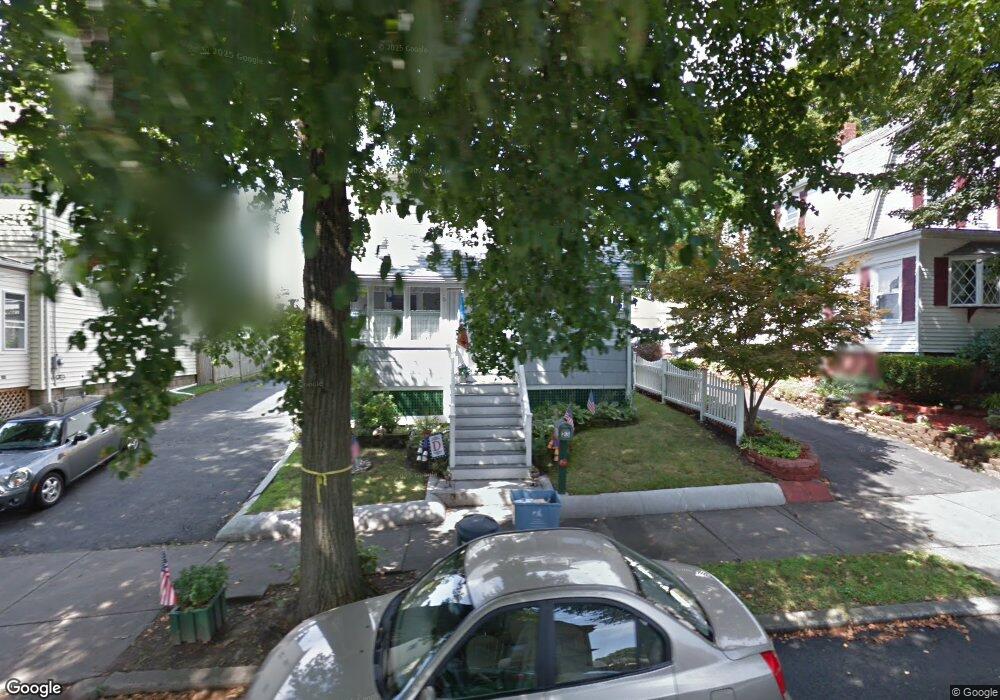
23 Newton Ave Lynn, MA 01905
Lower Boston Street NeighborhoodEstimated Value: $534,000 - $571,000
2
Beds
1
Bath
1,242
Sq Ft
$441/Sq Ft
Est. Value
About This Home
This home is located at 23 Newton Ave, Lynn, MA 01905 and is currently estimated at $547,305, approximately $440 per square foot. 23 Newton Ave is a home located in Essex County with nearby schools including North Park Elementary School, Lincoln-Thomson Elementary School, and William R. Fallon School.
Ownership History
Date
Name
Owned For
Owner Type
Purchase Details
Closed on
Jul 25, 2024
Sold by
Leary Diane E
Bought by
23 Newton Ret and Leary
Current Estimated Value
Purchase Details
Closed on
Sep 12, 1995
Sold by
Hutton Margaret H
Bought by
Leary Diane E
Create a Home Valuation Report for This Property
The Home Valuation Report is an in-depth analysis detailing your home's value as well as a comparison with similar homes in the area
Home Values in the Area
Average Home Value in this Area
Purchase History
| Date | Buyer | Sale Price | Title Company |
|---|---|---|---|
| 23 Newton Ret | -- | None Available | |
| 23 Newton Ret | -- | None Available | |
| 23 Newton Ret | -- | None Available | |
| 23 Newton Ret | -- | None Available | |
| Leary Diane E | $85,000 | -- | |
| Leary Diane E | $85,000 | -- |
Source: Public Records
Mortgage History
| Date | Status | Borrower | Loan Amount |
|---|---|---|---|
| Previous Owner | Leary Diane E | $150,000 | |
| Previous Owner | Leary Diane E | $42,000 |
Source: Public Records
Tax History Compared to Growth
Tax History
| Year | Tax Paid | Tax Assessment Tax Assessment Total Assessment is a certain percentage of the fair market value that is determined by local assessors to be the total taxable value of land and additions on the property. | Land | Improvement |
|---|---|---|---|---|
| 2025 | $5,113 | $493,500 | $226,600 | $266,900 |
| 2024 | $4,843 | $459,900 | $199,100 | $260,800 |
| 2023 | $4,748 | $425,800 | $205,600 | $220,200 |
| 2022 | $4,515 | $363,200 | $152,300 | $210,900 |
| 2021 | $4,167 | $319,800 | $140,000 | $179,800 |
| 2020 | $3,973 | $296,500 | $134,800 | $161,700 |
| 2019 | $4,005 | $280,100 | $126,900 | $153,200 |
| 2018 | $4,168 | $275,100 | $140,000 | $135,100 |
| 2017 | $3,820 | $244,900 | $116,400 | $128,500 |
| 2016 | $3,652 | $225,700 | $108,900 | $116,800 |
| 2015 | $3,593 | $214,500 | $108,100 | $106,400 |
Source: Public Records
Map
Nearby Homes
- 92-94 Newton Ave
- 268 Walnut St
- 110 Holyoke St
- 28 Wyman St
- 35 Curran Rd
- 14 Atkinson St
- 32 Birch Brook Rd Unit 27
- 32 Birch Brook Rd Unit 16
- 32 Birch Brook Rd Unit 1
- 32 Birch Brook Rd Unit 25
- 32 Birch Brook Rd Unit 22
- 32 Birch Brook Rd Unit 28
- 100 Ashland St
- 447 Boston St
- 10 Carnes St
- 20 Murray St
- 79 Laurel St
- 27 Bradford Terrace
- 86 Laurel St
- 75 Moulton St
- 19 Newton Ave
- 119 Myrtle St
- 31 Newton Ave
- 15 Newton Ave
- 123 Myrtle St
- 123 Myrtle St Unit 1
- 115 Myrtle St
- 127 Myrtle St
- 24 Newton Ave Unit 26
- 11 Newton Ave
- 111 Myrtle St
- 113 Myrtle St
- 35 Newton Ave
- 28 Newton Ave
- 20 Newton Ave
- 32 Newton Ave
- 37 Newton Ave
- 131 Myrtle St
- 131 Myrtle St Unit 131
- 36 Newton Ave