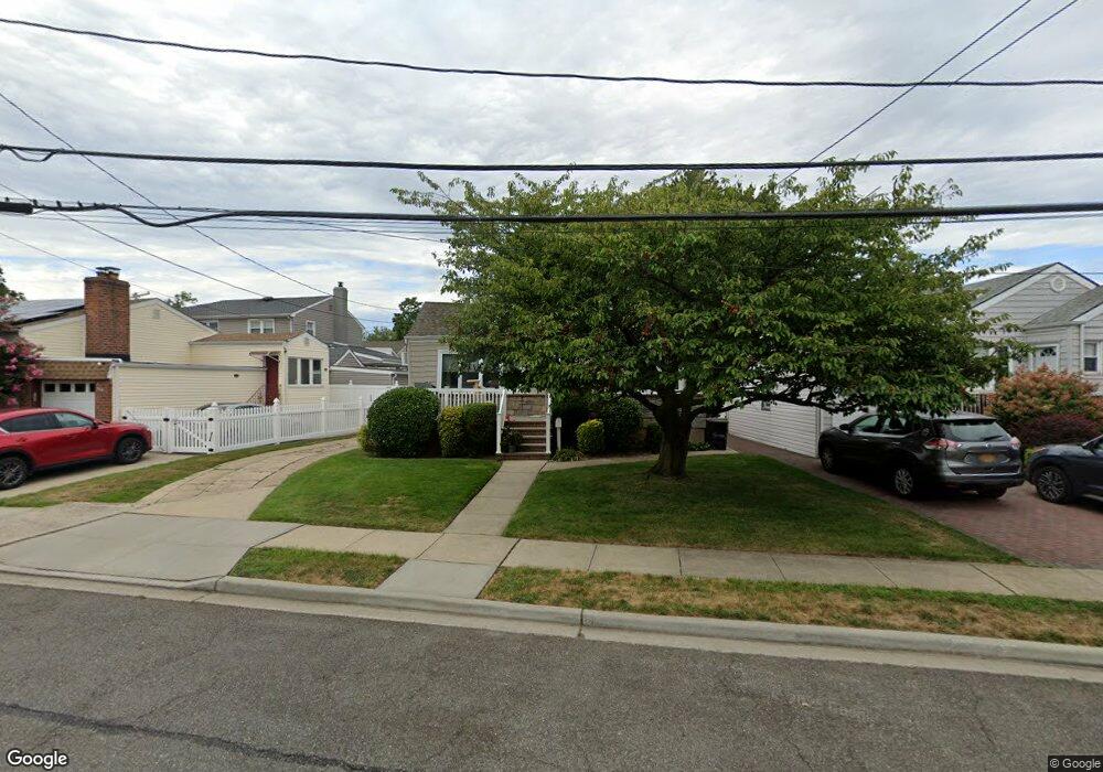
23 Noble St Lynbrook, NY 11563
Estimated Value: $698,548 - $720,000
--
Bed
1
Bath
1,154
Sq Ft
$615/Sq Ft
Est. Value
About This Home
This home is located at 23 Noble St, Lynbrook, NY 11563 and is currently estimated at $709,274, approximately $614 per square foot. 23 Noble St is a home located in Nassau County with nearby schools including Lynbrook Senior High School, Our Lady Of Peace School, and Our Lady of Lourdes School.
Ownership History
Date
Name
Owned For
Owner Type
Purchase Details
Closed on
May 6, 2024
Sold by
Walter Donald J and Walter Carol Anne
Bought by
Groff Brian and Groff Kaitlin
Current Estimated Value
Home Financials for this Owner
Home Financials are based on the most recent Mortgage that was taken out on this home.
Original Mortgage
$525,000
Outstanding Balance
$517,554
Interest Rate
6.82%
Mortgage Type
New Conventional
Estimated Equity
$191,720
Create a Home Valuation Report for This Property
The Home Valuation Report is an in-depth analysis detailing your home's value as well as a comparison with similar homes in the area
Home Values in the Area
Average Home Value in this Area
Purchase History
| Date | Buyer | Sale Price | Title Company |
|---|---|---|---|
| Groff Brian | $575,000 | Stewart Title Insurance Co | |
| Groff Brian | $575,000 | Stewart Title Insurance Co |
Source: Public Records
Mortgage History
| Date | Status | Borrower | Loan Amount |
|---|---|---|---|
| Open | Groff Brian | $525,000 | |
| Closed | Groff Brian | $525,000 |
Source: Public Records
Tax History Compared to Growth
Tax History
| Year | Tax Paid | Tax Assessment Tax Assessment Total Assessment is a certain percentage of the fair market value that is determined by local assessors to be the total taxable value of land and additions on the property. | Land | Improvement |
|---|---|---|---|---|
| 2025 | $8,112 | $397 | $188 | $209 |
| 2024 | $849 | $400 | $190 | $210 |
| 2023 | $7,084 | $415 | $197 | $218 |
| 2022 | $7,084 | $445 | $211 | $234 |
| 2021 | $11,094 | $442 | $209 | $233 |
| 2020 | $7,517 | $564 | $427 | $137 |
| 2019 | $7,214 | $564 | $427 | $137 |
| 2018 | $6,564 | $564 | $0 | $0 |
| 2017 | $4,874 | $564 | $403 | $161 |
| 2016 | $5,689 | $597 | $385 | $212 |
| 2015 | $935 | $630 | $406 | $224 |
| 2014 | $935 | $630 | $406 | $224 |
| 2013 | $902 | $662 | $427 | $235 |
Source: Public Records
Map
Nearby Homes
- 181 Walnut St
- 75 Noble St Unit 219
- 75 Noble St Unit 126
- 20 Daley Place Unit 128
- 30 Daley Place Unit 247
- 20 Daley Place Unit 104
- 20 Daley Place Unit 225
- 30 Daley Place Unit 146
- 20 Daley Place Unit 127
- 57 Nieman Ave
- 40 Daley Place Unit 124
- 29 Summit Ave
- 2 Fowler Ave Unit 206
- 2 Fowler Ave Unit 228
- 127 Hempstead Ave
- 60 Hempstead Ave Unit 1K
- 60 Hempstead Ave Unit 1H
- 60 Hempstead Ave Unit 1O
- 60 Hempstead Ave Unit 1J
- 103 Smith St Unit 1