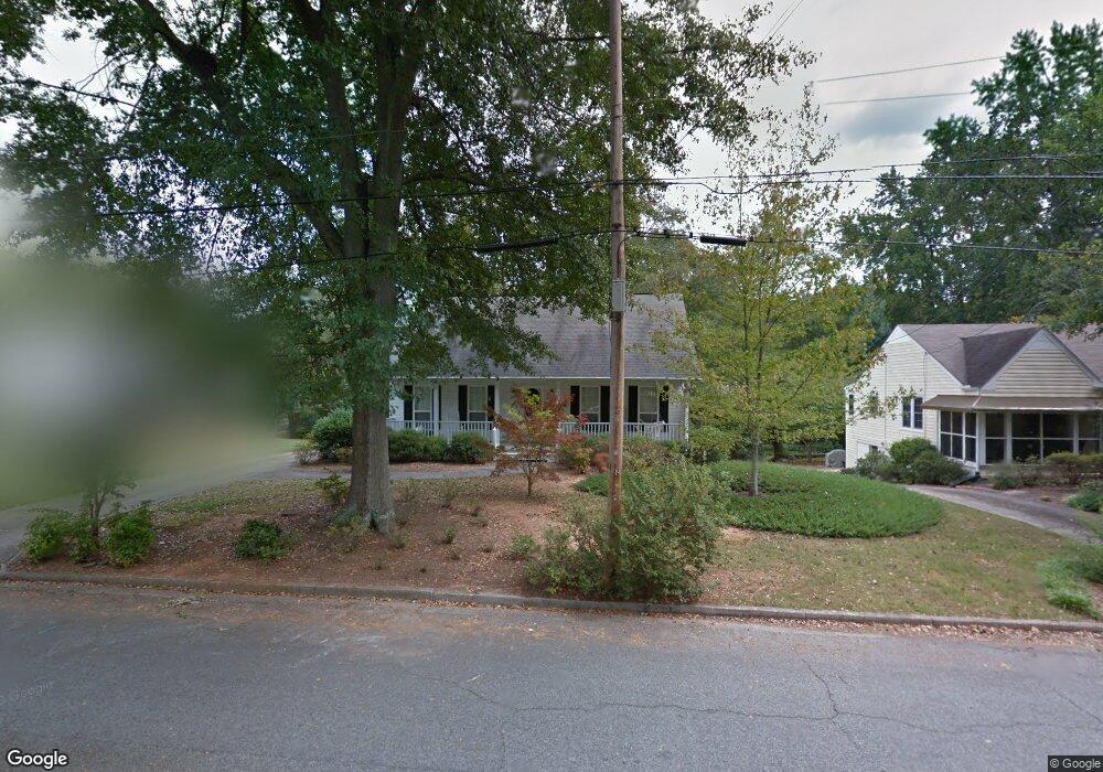
23 Northside Dr Newnan, GA 30263
Estimated Value: $404,000 - $429,000
3
Beds
3
Baths
2,417
Sq Ft
$171/Sq Ft
Est. Value
About This Home
This home is located at 23 Northside Dr, Newnan, GA 30263 and is currently estimated at $414,002, approximately $171 per square foot. 23 Northside Dr is a home located in Coweta County with nearby schools including Elm Street Elementary School, Evans Middle School, and Newnan High School.
Ownership History
Date
Name
Owned For
Owner Type
Purchase Details
Closed on
Mar 9, 2005
Sold by
Mills Simon C and Mills Patricia
Bought by
Wyatt Gwendolyn E
Current Estimated Value
Purchase Details
Closed on
Mar 19, 2003
Sold by
Norred Mary D
Bought by
Mills Simon C and Mills Pamela W
Home Financials for this Owner
Home Financials are based on the most recent Mortgage that was taken out on this home.
Original Mortgage
$182,000
Interest Rate
5.86%
Mortgage Type
New Conventional
Purchase Details
Closed on
Nov 9, 1990
Bought by
Davis Allison J and Davis Ro
Purchase Details
Closed on
Nov 30, 1975
Bought by
Austin Annette S Mrs
Create a Home Valuation Report for This Property
The Home Valuation Report is an in-depth analysis detailing your home's value as well as a comparison with similar homes in the area
Home Values in the Area
Average Home Value in this Area
Purchase History
| Date | Buyer | Sale Price | Title Company |
|---|---|---|---|
| Wyatt Gwendolyn E | $198,700 | -- | |
| Mills Simon C | $182,500 | -- | |
| Davis Allison J | $14,000 | -- | |
| Austin Annette S Mrs | -- | -- |
Source: Public Records
Mortgage History
| Date | Status | Borrower | Loan Amount |
|---|---|---|---|
| Previous Owner | Mills Simon C | $182,000 |
Source: Public Records
Tax History Compared to Growth
Tax History
| Year | Tax Paid | Tax Assessment Tax Assessment Total Assessment is a certain percentage of the fair market value that is determined by local assessors to be the total taxable value of land and additions on the property. | Land | Improvement |
|---|---|---|---|---|
| 2024 | $2,688 | $117,616 | $24,000 | $93,616 |
| 2023 | $2,688 | $119,781 | $24,000 | $95,781 |
| 2022 | $3,024 | $124,309 | $39,000 | $85,309 |
| 2021 | $2,818 | $104,852 | $39,000 | $65,852 |
| 2020 | $1,002 | $104,852 | $39,000 | $65,852 |
| 2019 | $796 | $76,075 | $8,840 | $67,236 |
| 2018 | $808 | $76,075 | $8,840 | $67,236 |
| 2017 | $742 | $71,167 | $8,839 | $62,328 |
| 2016 | $734 | $70,186 | $8,840 | $61,346 |
| 2015 | $649 | $62,824 | $8,840 | $53,985 |
| 2014 | $624 | $57,917 | $8,840 | $49,077 |
Source: Public Records
Map
Nearby Homes
- 37 Powell Place
- 3 Northside Dr
- 1 Ellis Way
- 61 Clark St
- 144 Jackson St
- 0 Georgia 34 Unit 7614778
- 30 Elm Cir
- 43 Jackson St
- 7 Maple Dr
- 33 Ray St
- 15 Casey St
- 42 W Washington St
- 0 Benelli Ridge Unit 10429105
- 5 Casey Rd
- 55A Perry St
- 97 W Washington St
- 0 Highway 29 N Unit 14.41+/- AC 10432364
- 0 N Highway 29 Unit 20115352
- 14 Hamilton Bohannon Dr
- 16 Hamilton Bohannon Dr
- 0 Mansour Cir Unit 3082967
- 0 Mansour Cir Unit 21C 7067195
- 0 Mansour Cir Unit 21C 7170927
- 0 Mansour Cir Unit 21C
- 0 Mansour Cir Unit 7069353
- 0 Mansour Cir Unit 21C 7289944
- 0 Mansour Cir Unit 9006504
- 0 Mansour Cir Unit 9079147
- 0 Mansour Cir Unit 8824659
- 0 Mansour Cir Unit 3216272
- 0 Mansour Cir Unit 7115440
- 0 Mansour Cir Unit 7136636
- 0 Mansour Cir Unit 7211159
- 0 Mansour Cir Unit 7345652
- 0 Mansour Cir Unit 7519742
- 0 Mansour Cir Unit 7577058
- 0 Mansour Cir Unit 7609303
- 0 Mansour Cir Unit 8290847
- 21 Northside Dr
- 27 Northside Dr