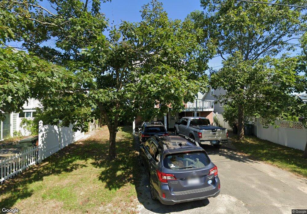
23 Oceanside Dr Saco, ME 04072
Kinney Shores NeighborhoodEstimated Value: $1,266,549 - $2,084,000
2
Beds
4
Baths
1,780
Sq Ft
$918/Sq Ft
Est. Value
About This Home
This home is located at 23 Oceanside Dr, Saco, ME 04072 and is currently estimated at $1,634,387, approximately $918 per square foot. 23 Oceanside Dr is a home located in York County with nearby schools including C K Burns School, Saco Middle School, and Florence Lombard Christian School.
Ownership History
Date
Name
Owned For
Owner Type
Purchase Details
Closed on
Mar 4, 2008
Sold by
Grass Nancy L
Bought by
Grass Nancy L and Grass Edward J
Current Estimated Value
Home Financials for this Owner
Home Financials are based on the most recent Mortgage that was taken out on this home.
Original Mortgage
$770,000
Interest Rate
5.8%
Mortgage Type
Unknown
Purchase Details
Closed on
Sep 29, 2006
Sold by
Anton Paula H and Anton Michael G
Bought by
Grass Nancy L
Home Financials for this Owner
Home Financials are based on the most recent Mortgage that was taken out on this home.
Original Mortgage
$754,000
Interest Rate
6.52%
Mortgage Type
Purchase Money Mortgage
Purchase Details
Closed on
Jan 3, 2005
Sold by
Anton Michael
Bought by
Anton Paula H and Anton Michael G
Home Financials for this Owner
Home Financials are based on the most recent Mortgage that was taken out on this home.
Original Mortgage
$725,000
Interest Rate
5.73%
Mortgage Type
Purchase Money Mortgage
Create a Home Valuation Report for This Property
The Home Valuation Report is an in-depth analysis detailing your home's value as well as a comparison with similar homes in the area
Home Values in the Area
Average Home Value in this Area
Purchase History
| Date | Buyer | Sale Price | Title Company |
|---|---|---|---|
| Grass Nancy L | -- | -- | |
| Grass Nancy L | $947,500 | -- | |
| Anton Paula H | -- | -- |
Source: Public Records
Mortgage History
| Date | Status | Borrower | Loan Amount |
|---|---|---|---|
| Open | Grass Nancy L | $736,750 | |
| Closed | Grass Nancy L | $770,000 | |
| Previous Owner | Grass Nancy L | $754,000 | |
| Previous Owner | Anton Paula H | $725,000 |
Source: Public Records
Tax History
| Year | Tax Paid | Tax Assessment Tax Assessment Total Assessment is a certain percentage of the fair market value that is determined by local assessors to be the total taxable value of land and additions on the property. | Land | Improvement |
|---|---|---|---|---|
| 2024 | $14,854 | $1,057,200 | $749,000 | $308,200 |
| 2023 | $15,594 | $1,057,200 | $749,000 | $308,200 |
| 2022 | $14,495 | $790,800 | $574,000 | $216,800 |
| 2021 | $14,007 | $741,900 | $533,000 | $208,900 |
| 2020 | $13,474 | $685,000 | $492,000 | $193,000 |
| 2019 | $13,275 | $685,000 | $492,000 | $193,000 |
| 2018 | $12,618 | $651,100 | $451,000 | $200,100 |
| 2017 | $12,322 | $635,800 | $451,000 | $184,800 |
| 2016 | $11,409 | $587,500 | $425,000 | $162,500 |
| 2015 | $10,486 | $545,600 | $385,000 | $160,600 |
| 2014 | $10,159 | $545,600 | $385,000 | $160,600 |
| 2013 | $10,137 | $545,600 | $385,000 | $160,600 |
Source: Public Records
Map
Nearby Homes
- 311 Seaside Ave Unit 5
- 30 Vines Rd
- 146 W Grand Ave Unit 52
- 2 Union Ave
- 4 Union Ave
- 16 Union Ave
- 3 Walker Dr Unit 101
- TBD 530 Ferry Rd
- 4 Walker Dr Unit 101
- 3 Walker Dr Unit 101
- 7 Bay Ave Unit 10
- 163 Temple Ave Unit 163
- 163 Temple Ave
- 7 Fern Ave
- 9 Fern Ave
- 295 Ferry Rd
- 42 3rd St
- 88 Union Ave Unit 301
- 107 Ocean Ave
- 105 Union Ave
- 21 Oceanside Dr
- 31 Oceanside Dr
- 17 Oceanside Dr
- 0 Oceanside Rd
- Lot 116 Oceanside Dr
- TBD Oceanside Dr
- 16 Outlook Ave
- 15 Curtis Ave
- 35 Oceanside Dr
- 10 Oceanside Dr
- 15 Oceanside Dr
- 30 Oceanside Dr
- 37 Oceanside Dr
- 14 Curtis Ave
- 8-10 Outlook
- 15 Outlook Ave
- 8 Outlook Ave
- 8 & 10 Outlook Ave
- 39 Oceanside Dr
- 0 Outlook Ave
Your Personal Tour Guide
Ask me questions while you tour the home.