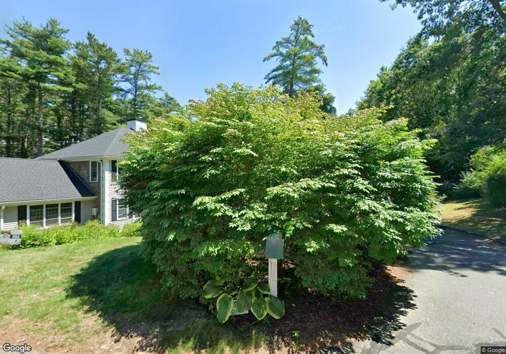
23 Orchard Ln Duxbury, MA 02332
Estimated Value: $828,000 - $1,116,538
2
Beds
2
Baths
1,508
Sq Ft
$665/Sq Ft
Est. Value
About This Home
This home is located at 23 Orchard Ln, Duxbury, MA 02332 and is currently estimated at $1,002,135, approximately $664 per square foot. 23 Orchard Ln is a home located in Plymouth County with nearby schools including Chandler Elementary School, Alden School, and Duxbury Middle School.
Ownership History
Date
Name
Owned For
Owner Type
Purchase Details
Closed on
Sep 18, 2003
Sold by
Rayner Ft Of 1989
Bought by
Curran Jay B and Dokus-Curran Margaret
Current Estimated Value
Purchase Details
Closed on
Dec 13, 1995
Sold by
Gillis John W and Gillis Ellenmarie
Bought by
Rayner Ft
Purchase Details
Closed on
Oct 22, 1992
Sold by
Paine St Corp
Bought by
Gillis John W and Gillis Ellenmarie
Create a Home Valuation Report for This Property
The Home Valuation Report is an in-depth analysis detailing your home's value as well as a comparison with similar homes in the area
Home Values in the Area
Average Home Value in this Area
Purchase History
| Date | Buyer | Sale Price | Title Company |
|---|---|---|---|
| Curran Jay B | $455,000 | -- | |
| Rayner Ft | $218,900 | -- | |
| Gillis John W | $201,000 | -- |
Source: Public Records
Mortgage History
| Date | Status | Borrower | Loan Amount |
|---|---|---|---|
| Open | Gillis John W | $367,100 | |
| Closed | Gillis John W | $75,000 | |
| Closed | Gillis John W | $333,700 |
Source: Public Records
Tax History Compared to Growth
Tax History
| Year | Tax Paid | Tax Assessment Tax Assessment Total Assessment is a certain percentage of the fair market value that is determined by local assessors to be the total taxable value of land and additions on the property. | Land | Improvement |
|---|---|---|---|---|
| 2025 | $8,740 | $861,900 | $435,100 | $426,800 |
| 2024 | $8,476 | $842,500 | $415,800 | $426,700 |
| 2023 | $8,196 | $766,700 | $445,900 | $320,800 |
| 2022 | $7,179 | $559,100 | $289,400 | $269,700 |
| 2021 | $7,887 | $544,700 | $268,800 | $275,900 |
| 2020 | $7,651 | $521,900 | $246,500 | $275,400 |
| 2019 | $7,500 | $510,900 | $228,900 | $282,000 |
| 2018 | $7,344 | $484,400 | $220,100 | $264,300 |
| 2017 | $7,507 | $484,000 | $220,100 | $263,900 |
| 2016 | $7,377 | $474,400 | $210,500 | $263,900 |
| 2015 | $7,040 | $451,300 | $181,200 | $270,100 |
Source: Public Records
Map
Nearby Homes
- 9 S Pasture Ln
- 33 Herring Weir Rd
- 1141 Tremont St
- Two Railroad Ave Unit 9
- Two Railroad Ave Unit 1
- Two Railroad Ave Unit 8
- Two Railroad Ave Unit 2
- 62 Teakettle Ln
- 10 Hawthorn Hill
- 74 Abrams Hill Rd
- 68 Abrams Hill Rd
- 184 King Phillips Pathe
- 387 Lot 2A Old Cove Rd
- 387 Lot 3A Old Cove Rd
- 387 Lot 4A Old Cove Rd
- 56 Chapel St
- 39 Bay Pond Rd
- 431 Moraine St
- 5 Adelaide Way
- 15 Fieldstone Farm Way Unit 8