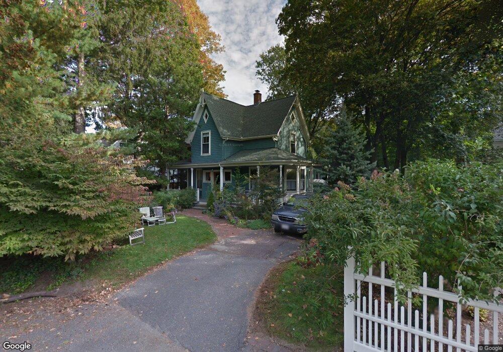
23 Otis Place Newtonville, MA 02460
Newtonville NeighborhoodEstimated Value: $1,340,000 - $1,748,000
4
Beds
2
Baths
1,982
Sq Ft
$803/Sq Ft
Est. Value
About This Home
This home is located at 23 Otis Place, Newtonville, MA 02460 and is currently estimated at $1,590,659, approximately $802 per square foot. 23 Otis Place is a home located in Middlesex County with nearby schools including Cabot Elementary School, F.A. Day Middle School, and Newton North High School.
Ownership History
Date
Name
Owned For
Owner Type
Purchase Details
Closed on
Aug 6, 2007
Sold by
Wilson Barry P and Austin Lila S
Bought by
Chalfin Michael and Jacobs Sharon
Current Estimated Value
Purchase Details
Closed on
Sep 7, 1990
Sold by
Margulies Marc
Bought by
Wilson Barry P
Create a Home Valuation Report for This Property
The Home Valuation Report is an in-depth analysis detailing your home's value as well as a comparison with similar homes in the area
Home Values in the Area
Average Home Value in this Area
Purchase History
| Date | Buyer | Sale Price | Title Company |
|---|---|---|---|
| Chalfin Michael | $877,300 | -- | |
| Wilson Barry P | $360,000 | -- |
Source: Public Records
Mortgage History
| Date | Status | Borrower | Loan Amount |
|---|---|---|---|
| Open | Wilson Barry P | $40,000 | |
| Open | Wilson Barry P | $431,700 | |
| Closed | Wilson Barry P | $444,000 |
Source: Public Records
Tax History Compared to Growth
Tax History
| Year | Tax Paid | Tax Assessment Tax Assessment Total Assessment is a certain percentage of the fair market value that is determined by local assessors to be the total taxable value of land and additions on the property. | Land | Improvement |
|---|---|---|---|---|
| 2025 | $12,698 | $1,295,700 | $1,042,600 | $253,100 |
| 2024 | $12,278 | $1,258,000 | $1,012,200 | $245,800 |
| 2023 | $11,538 | $1,133,400 | $776,100 | $357,300 |
| 2022 | $11,040 | $1,049,400 | $718,600 | $330,800 |
| 2021 | $10,652 | $990,000 | $677,900 | $312,100 |
| 2020 | $10,336 | $990,000 | $677,900 | $312,100 |
| 2019 | $10,045 | $961,200 | $658,200 | $303,000 |
| 2018 | $9,465 | $874,800 | $594,700 | $280,100 |
| 2017 | $9,177 | $825,300 | $561,000 | $264,300 |
| 2016 | $8,777 | $771,300 | $524,300 | $247,000 |
| 2015 | $8,368 | $720,800 | $490,000 | $230,800 |
Source: Public Records
Map
Nearby Homes
- 22 Walnut Place Unit 1
- 935 Washington St Unit 8
- 911 Washington St
- 957 Washington St Unit 1
- 123-125 Mount Vernon St
- 123 Mount Vernon St Unit 2
- 43 Walker St
- 300 Cabot St
- 4 Wiswall St
- 168 Walnut St
- 12 Wiswall St
- 10 Washington Park
- 10 Washington Park Unit 2
- 10 Washington Park Unit 1
- 32-34 Rossmere St
- 77 Court St Unit 205
- 110 Harvard St Unit A
- 48 Harvard St Unit 1
- 11 Randlett Park
- 27 Cross St Unit 27
- 15 Otis Place
- 74 Highland Ave
- 74 Highland Ave Unit 74,74
- 258 Lowell Ave
- 63 Otis St
- 264 Lowell Ave
- 256 Lowell Ave
- 256 Lowell Ave Unit 1
- 256 Lowell Ave Unit 2
- 72 Highland Ave
- 72 Highland Ave Unit 72,72
- 11 Otis Place
- 270 Lowell Ave
- 68 Highland Ave
- 66 Highland Ave
- 72- 78 Highland Ave Unit 78
- 76 Highland Ave
- 76 Highland Ave
- 76 Highland Ave Unit 1
- 78 Highland Ave