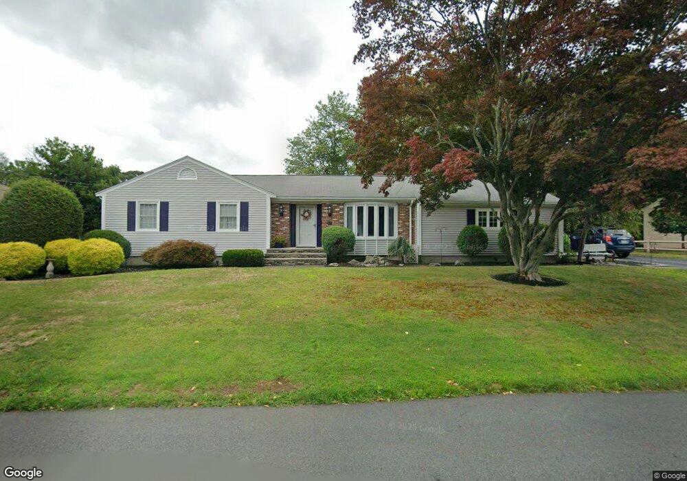
23 Phillips St North Attleboro, MA 02760
North Attleboro NeighborhoodEstimated Value: $508,000 - $647,000
3
Beds
2
Baths
1,984
Sq Ft
$285/Sq Ft
Est. Value
About This Home
This home is located at 23 Phillips St, North Attleboro, MA 02760 and is currently estimated at $564,892, approximately $284 per square foot. 23 Phillips St is a home located in Bristol County with nearby schools including North Attleboro High School.
Create a Home Valuation Report for This Property
The Home Valuation Report is an in-depth analysis detailing your home's value as well as a comparison with similar homes in the area
Home Values in the Area
Average Home Value in this Area
Tax History Compared to Growth
Tax History
| Year | Tax Paid | Tax Assessment Tax Assessment Total Assessment is a certain percentage of the fair market value that is determined by local assessors to be the total taxable value of land and additions on the property. | Land | Improvement |
|---|---|---|---|---|
| 2025 | $6,364 | $539,800 | $137,700 | $402,100 |
| 2024 | $6,008 | $520,600 | $137,700 | $382,900 |
| 2023 | $5,844 | $456,900 | $137,700 | $319,200 |
| 2022 | $5,293 | $380,000 | $137,700 | $242,300 |
| 2021 | $5,507 | $385,900 | $137,700 | $248,200 |
| 2020 | $5,147 | $358,700 | $137,700 | $221,000 |
| 2019 | $4,970 | $349,000 | $125,200 | $223,800 |
| 2018 | $4,342 | $325,500 | $125,200 | $200,300 |
| 2017 | $4,174 | $315,700 | $125,200 | $190,500 |
| 2016 | $3,969 | $300,200 | $139,100 | $161,100 |
| 2015 | $3,763 | $286,400 | $139,100 | $147,300 |
| 2014 | $3,542 | $267,500 | $122,100 | $145,400 |
Source: Public Records
Map
Nearby Homes
- 27 Taylor St
- 12 Roosevelt Ave
- 40 Roosevelt Ave
- 16 Johnson St
- 137 Sumner St
- 93 Bank St
- 46 Westside Ave
- 12 Morgan Way Unit 1
- 19 Church St Unit C9
- 16 Richards Ave Unit 106
- 160 Crescent Ave
- 80 Broadway Unit 9
- 20 South St
- 68 Fisher St
- 50 Metcalf Rd
- 30 Sperry Ln Unit Lot 15
- 300 E Washington St Unit 54R
- 880 Landry Ave Unit 2
- 42 2nd Ave Unit 24
- 130 E Washington St Unit 57