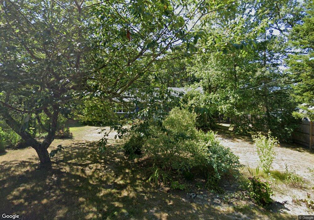
23 Pine Grove Rd Brewster, MA 02631
Estimated Value: $518,000 - $606,295
About This Home
This home is located at 23 Pine Grove Rd, Brewster, MA 02631 and is currently estimated at $568,324, approximately $496 per square foot. 23 Pine Grove Rd is a home located in Barnstable County with nearby schools including Stony Brook Elementary School, Eddy Elementary School, and Nauset Regional Middle School.
Ownership History
We collect this data history from publicly available records. To have your information removed, we recommend requesting removal directly through your county’s website.
Purchase Details
Home Financials for this Owner
Home Financials are based on the most recent Mortgage that was taken out on this home.Home Values in the Area
Average Home Value in this Area
Purchase History
We collect this data history from publicly available records. To have your information removed, we recommend requesting removal directly through your county’s website.
| Date | Buyer | Sale Price | Title Company |
|---|---|---|---|
| $85,000 | -- |
Mortgage History
We collect this data history from publicly available records. To have your information removed, we recommend requesting removal directly through your county’s website.
| Date | Status | Borrower | Loan Amount |
|---|---|---|---|
| Open | $80,000 | ||
| Closed | $75,000 |
Tax History
We collect this data history from publicly available records. To have your information removed, we recommend requesting removal directly through your county’s website.
| Year | Tax Paid | Tax Assessment Tax Assessment Total Assessment is a certain percentage of the fair market value that is determined by local assessors to be the total taxable value of land and additions on the property. | Land | Improvement |
|---|---|---|---|---|
| 2025 | $3,562 | $517,800 | $250,900 | $266,900 |
| 2024 | $3,328 | $488,700 | $236,700 | $252,000 |
| 2023 | $3,076 | $440,100 | $211,300 | $228,800 |
| 2022 | $2,883 | $367,200 | $176,100 | $191,100 |
| 2021 | $2,767 | $322,500 | $153,100 | $169,400 |
| 2020 | $2,712 | $314,600 | $153,100 | $161,500 |
| 2019 | $3,149 | $305,100 | $147,200 | $157,900 |
| 2018 | $2,471 | $299,200 | $147,200 | $152,000 |
| 2017 | $2,360 | $281,300 | $147,200 | $134,100 |
| 2016 | $2,327 | $276,000 | $144,400 | $131,600 |
| 2015 | $2,245 | $271,800 | $141,500 | $130,300 |
Map
- 8 Pine Grove Rd
- 527 S Orleans Rd
- 22 Winslow Dr
- 507 S Orleans Rd
- 588 S Orleans Rd
- 14 Bambi Way
- 77 Towhee Ln
- 42 Uncle Israel's Rd
- 645 S Orleans Rd
- 18 Sturbridge Dr
- 38 Shorewood Dr
- 16 Carlton Rd
- 332 S Orleans Rd
- 32 Areys Ln
- 36 Areys Ln
- 7 Lockwood Ln
- 2079 Head of The Bay Rd
- Lot 1 Ladue Landing
- 9 Captain Phillips Rd
- 67 Bakers Pond Rd
- 26 Timberlane Dr
- 33 Pine Grove Rd
- 46 Timberlane Dr
- 168 Timberlane Dr
- 112 Timberlane Dr
- 22 Pine Grove Rd
- 98 Timberlane Dr
- 0 Timberlane Dr
- 150 Timberlane Dr
- 0 Pine Grove Rd Unit 22505629
- 0 Pine Grove Rd Unit 22503517
- 0 Pine Grove Rd Unit 22503173
- 0 Pine Grove Rd Unit 73397945
- 0 Pine Grove Rd Unit 22400774
- 0 Pine Grove Rd Unit 73207875
- 0 Pine Grove Rd Unit 22201803
- 0 Pine Grove Rd
- 181 Timberlane Dr
- 33 Timberlane Dr
- 43 Timberlane Dr
Ask me questions while you tour the home.