23 Richards Rd Wolfeboro, NH 03894
Estimated Value: $338,000 - $621,000
3
Beds
2
Baths
2,324
Sq Ft
$222/Sq Ft
Est. Value
About This Home
This home is located at 23 Richards Rd, Wolfeboro, NH 03894 and is currently estimated at $516,474, approximately $222 per square foot. 23 Richards Rd is a home located in Carroll County with nearby schools including Crescent Lake School, Carpenter Elementary School, and Kingswood Regional Middle School.
Ownership History
Date
Name
Owned For
Owner Type
Purchase Details
Closed on
May 3, 2018
Sold by
Nieman Mark A and Nieman Kristi H
Bought by
Nieman Ret
Current Estimated Value
Purchase Details
Closed on
Jun 18, 1999
Sold by
Dubuc Albert H and Dubuc Margaret L
Bought by
Roberts Brett R
Home Financials for this Owner
Home Financials are based on the most recent Mortgage that was taken out on this home.
Original Mortgage
$75,000
Interest Rate
6.99%
Create a Home Valuation Report for This Property
The Home Valuation Report is an in-depth analysis detailing your home's value as well as a comparison with similar homes in the area
Home Values in the Area
Average Home Value in this Area
Purchase History
| Date | Buyer | Sale Price | Title Company |
|---|---|---|---|
| Nieman Ret | -- | -- | |
| Roberts Brett R | $135,000 | -- |
Source: Public Records
Mortgage History
| Date | Status | Borrower | Loan Amount |
|---|---|---|---|
| Previous Owner | Roberts Brett R | $125,000 | |
| Previous Owner | Roberts Brett R | $75,000 |
Source: Public Records
Tax History
| Year | Tax Paid | Tax Assessment Tax Assessment Total Assessment is a certain percentage of the fair market value that is determined by local assessors to be the total taxable value of land and additions on the property. | Land | Improvement |
|---|---|---|---|---|
| 2024 | $4,927 | $309,900 | $78,300 | $231,600 |
| 2023 | $4,624 | $314,800 | $82,300 | $232,500 |
| 2022 | $4,162 | $314,800 | $82,300 | $232,500 |
| 2021 | $4,303 | $314,800 | $82,300 | $232,500 |
| 2020 | $3,172 | $314,800 | $82,300 | $232,500 |
| 2019 | $4,144 | $261,600 | $74,600 | $187,000 |
| 2018 | $4,086 | $258,600 | $74,600 | $184,000 |
| 2017 | $3,268 | $258,600 | $74,600 | $184,000 |
| 2016 | $3,204 | $258,600 | $74,600 | $184,000 |
| 2015 | $3,607 | $258,600 | $74,600 | $184,000 |
| 2014 | $3,195 | $245,600 | $62,100 | $183,500 |
| 2013 | $3,151 | $245,600 | $62,100 | $183,500 |
Source: Public Records
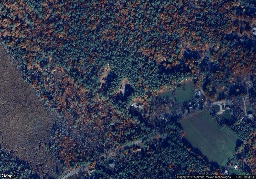
Map
Nearby Homes
- 11 Mountain West Dr
- 42 Point Breeze Rd
- 337 S Main St Unit Interval week 4 Janu
- 27 Abenaukee Dr
- 42 Kings Pine Rd
- 4 Olsen Ln
- 26 Orchards Rd
- 116 Middleton Rd
- 31 Pine St Unit 84
- 00 Center St Unit 1
- 68 Center St
- 26-14 Winnipesaukee Dr
- 103 Clark Rd Unit 7
- 0 Fieldstone Rd Unit 33
- 1 Harvey Brook Rd
- 68 Railroad Ave Unit 3
- 7 Bayberry Ln
- 35 Bay St
- 0 Camp Rd Unit 14
- 9 Kenyann Dr
- 13 Richards Rd
- 31 Richards Rd
- 3 New Garden Rd
- 276 Pleasant Valley Rd
- 24 Churchill Rd
- 24 Churchill Rd
- 24 Church Ln
- 231 Pleasant Valley Rd
- 65 Churchill Rd
- 19 Churchill Rd
- 219 Pleasant Valley Rd
- 6/7 Heath Trail
- 287 Pleasant Valley Rd
- 00 Heath Trail
- 300 Pleasant Valley Rd
- 49 Red Brook Cir
- 61 Banfield Rd
- 15 Cow Island
- 65 Cow Island
- 192 Cow Island
Your Personal Tour Guide
Ask me questions while you tour the home.