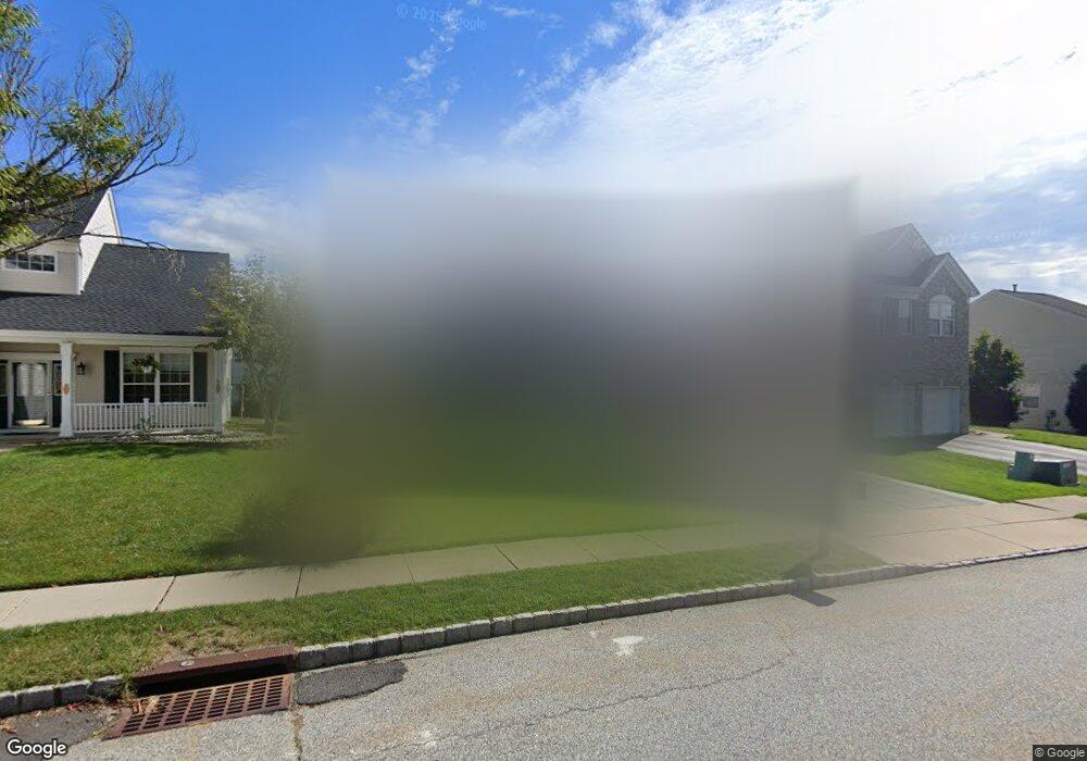
23 Rolling Rapids Ct Hackettstown, NJ 07840
Estimated Value: $487,639 - $570,000
--
Bed
--
Bath
1,847
Sq Ft
$293/Sq Ft
Est. Value
About This Home
This home is located at 23 Rolling Rapids Ct, Hackettstown, NJ 07840 and is currently estimated at $540,410, approximately $292 per square foot. 23 Rolling Rapids Ct is a home located in Warren County with nearby schools including Willow Grove Elementary School and Hackettstown Middle School.
Ownership History
Date
Name
Owned For
Owner Type
Purchase Details
Closed on
Nov 15, 2007
Sold by
Green Michael D and Green Josephine
Bought by
Keegan Kevin and Keegan Heather
Current Estimated Value
Home Financials for this Owner
Home Financials are based on the most recent Mortgage that was taken out on this home.
Original Mortgage
$309,600
Outstanding Balance
$196,291
Interest Rate
6.42%
Mortgage Type
Purchase Money Mortgage
Estimated Equity
$344,119
Create a Home Valuation Report for This Property
The Home Valuation Report is an in-depth analysis detailing your home's value as well as a comparison with similar homes in the area
Home Values in the Area
Average Home Value in this Area
Purchase History
| Date | Buyer | Sale Price | Title Company |
|---|---|---|---|
| Keegan Kevin | $387,000 | New Jersey Title Ins Co |
Source: Public Records
Mortgage History
| Date | Status | Borrower | Loan Amount |
|---|---|---|---|
| Open | Keegan Kevin | $309,600 |
Source: Public Records
Tax History Compared to Growth
Tax History
| Year | Tax Paid | Tax Assessment Tax Assessment Total Assessment is a certain percentage of the fair market value that is determined by local assessors to be the total taxable value of land and additions on the property. | Land | Improvement |
|---|---|---|---|---|
| 2025 | $11,218 | $328,100 | $101,200 | $226,900 |
| 2024 | $11,070 | $328,100 | $101,200 | $226,900 |
| 2023 | $10,709 | $328,100 | $101,200 | $226,900 |
| 2022 | $10,709 | $328,100 | $101,200 | $226,900 |
| 2021 | $10,486 | $328,100 | $101,200 | $226,900 |
| 2020 | $10,266 | $328,100 | $101,200 | $226,900 |
| 2019 | $9,922 | $328,100 | $101,200 | $226,900 |
| 2018 | $9,828 | $328,100 | $101,200 | $226,900 |
| 2017 | $9,728 | $328,100 | $101,200 | $226,900 |
| 2016 | $9,567 | $328,100 | $101,200 | $226,900 |
| 2015 | $9,167 | $328,100 | $101,200 | $226,900 |
| 2014 | $8,869 | $328,100 | $101,200 | $226,900 |
Source: Public Records
Map
Nearby Homes
- 55 Saxton Dr
- 33 Saxton Dr
- 634 Willow Grove St
- 305 Tulsa Ct Unit 67A05
- 6316 Belmont Dr Unit 16
- 5 Francis Terrace
- 00 Russling Rd
- 45 Saunders Ln
- 43 Saunders Ln
- 28 Mine Hill Rd
- 209 Park Ave
- 101 Kemper Ct
- 201 Willow Grove St
- 3-A Old Bilby Rd
- 81 Countryside Dr
- 169 Winding Hill Dr
- 398 U S 46
- 20 Mine Hill Rd
- 9 Saw Mill Cir
- 96 Winding Hill Dr
- 21 Rolling Rapids Ct
- 25 Rolling Rapids Ct
- 51 Saxton Dr
- 19 Rolling Rapids Ct
- 49 Saxton Dr
- 27 Rolling Rapids Ct
- 53 Saxton Dr
- 1 Saxton Dr
- 47 Saxton Dr
- 17 Rolling Rapids Ct
- 45 Rolling Rapids Ct
- 45 Saxton Dr
- 29 Rolling Rapids Ct
- 3 Saxton Dr
- 15 Rolling Rapids Ct
- 57 Saxton Dr
- 16 Rolling Rapids Ct
- 43 Saxton Dr
- 50 Saxton Dr
- 31 Rolling Rapids Ct