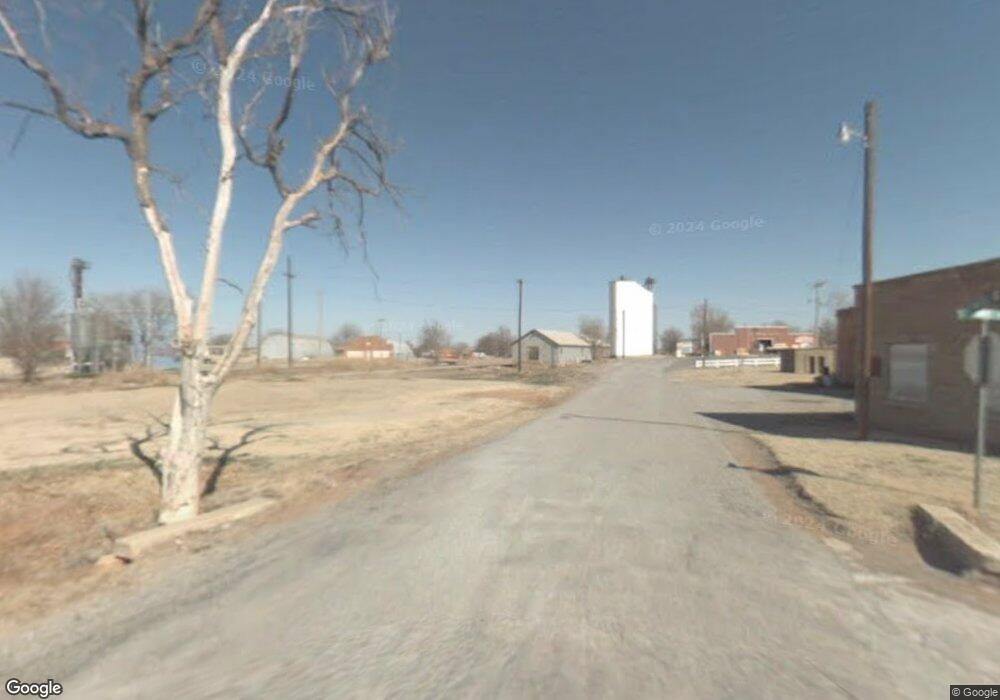
23 Rr 1 Sentinel, OK 73664
Estimated Value: $327,000 - $445,589
3
Beds
2
Baths
2,576
Sq Ft
$159/Sq Ft
Est. Value
About This Home
This home is located at 23 Rr 1, Sentinel, OK 73664 and is currently estimated at $409,897, approximately $159 per square foot. 23 Rr 1 is a home located in Washita County with nearby schools including McMurray Elementary School and Blanche Thomas High School.
Ownership History
Date
Name
Owned For
Owner Type
Purchase Details
Closed on
Jun 26, 2023
Sold by
Koppel Rollins Miller
Bought by
Koppel Nathan Rollins and Ann Koppel Van Hanken
Current Estimated Value
Purchase Details
Closed on
Aug 22, 2019
Sold by
Patten Millard Dwayne and Patten Ola Janita
Bought by
Musick Jesse Colt and Musick Cori
Purchase Details
Closed on
Mar 5, 2009
Sold by
Andrews Michael Paul
Bought by
Patten Millard Dwayne and Patten Ola Janita
Purchase Details
Closed on
Mar 14, 2000
Sold by
Latham Ted Trust
Bought by
Andrews Michael
Purchase Details
Closed on
May 7, 1998
Sold by
Latham Ted Trust
Bought by
Andrews Michael
Purchase Details
Closed on
Apr 14, 1997
Sold by
Bivens
Bought by
Latham Ted Trust
Create a Home Valuation Report for This Property
The Home Valuation Report is an in-depth analysis detailing your home's value as well as a comparison with similar homes in the area
Purchase History
| Date | Buyer | Sale Price | Title Company |
|---|---|---|---|
| Koppel Nathan Rollins | -- | None Listed On Document | |
| Musick Jesse Colt | $300,000 | Atlas Title | |
| Patten Millard Dwayne | $166,500 | -- | |
| Andrews Michael | -- | -- | |
| Andrews Michael | $38,000 | -- | |
| Latham Ted Trust | $22,000 | -- |
Source: Public Records
Tax History
| Year | Tax Paid | Tax Assessment Tax Assessment Total Assessment is a certain percentage of the fair market value that is determined by local assessors to be the total taxable value of land and additions on the property. | Land | Improvement |
|---|---|---|---|---|
| 2025 | $2,281 | $32,429 | $2,890 | $29,539 |
| 2024 | $2,215 | $31,485 | $2,890 | $28,595 |
| 2023 | $2,151 | $30,568 | $2,890 | $27,678 |
| 2022 | $2,305 | $32,767 | $2,670 | $30,097 |
| 2021 | $2,305 | $32,767 | $2,670 | $30,097 |
| 2020 | $2,322 | $33,000 | $2,670 | $30,330 |
| 2019 | $923 | $14,115 | $2,670 | $11,445 |
| 2018 | $942 | $14,394 | $2,670 | $11,724 |
| 2017 | $957 | $14,600 | $2,657 | $11,943 |
| 2016 | $927 | $14,175 | $2,085 | $12,090 |
| 2015 | $922 | $14,109 | $2,085 | $12,024 |
| 2014 | $922 | $11,561 | $2,085 | $9,476 |
Source: Public Records
Map
Nearby Homes
- 123 Circle Dr
- 902 E Lincoln St
- 705 E Whitmer
- 812 E North Boundary
- 21672 Highway 55
- 1001 Main St
- 401 Means
- 22117 E 1250 Rd
- 0 E 1220 Rd
- 12603 N 2210 Rd
- 12004 N 2110 Rd
- 409 S McDonald St
- 116 Gaynelle Ln
- 101 Claude St
- 615 N Lowe St
- 510 Terrace Dr
- 207 W Hillcrest Ln
- 114 N Rambo
- 530 N Lowe St
- 600 N Randlett St
