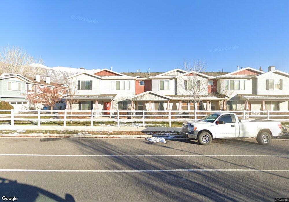
23 S 1630 W Pleasant Grove, UT 84062
Estimated Value: $379,000 - $388,982
3
Beds
3
Baths
1,507
Sq Ft
$256/Sq Ft
Est. Value
About This Home
This home is located at 23 S 1630 W, Pleasant Grove, UT 84062 and is currently estimated at $385,246, approximately $255 per square foot. 23 S 1630 W is a home located in Utah County with nearby schools including Mount Mahogany School, Pleasant Grove Junior High School, and Pleasant Grove High School.
Ownership History
Date
Name
Owned For
Owner Type
Purchase Details
Closed on
Jan 5, 2016
Sold by
Petersen Lyle F and Jessop Tara
Bought by
Kanahele Keenan and Kanahele Eugenia
Current Estimated Value
Home Financials for this Owner
Home Financials are based on the most recent Mortgage that was taken out on this home.
Original Mortgage
$152,000
Outstanding Balance
$120,730
Interest Rate
3.92%
Mortgage Type
New Conventional
Estimated Equity
$264,516
Purchase Details
Closed on
Dec 19, 2007
Sold by
General Construction & Development Inc
Bought by
Petersen Lyle F and Jessop Tara
Create a Home Valuation Report for This Property
The Home Valuation Report is an in-depth analysis detailing your home's value as well as a comparison with similar homes in the area
Home Values in the Area
Average Home Value in this Area
Purchase History
| Date | Buyer | Sale Price | Title Company |
|---|---|---|---|
| Kanahele Keenan | -- | Access Title Company | |
| Petersen Lyle F | -- | Empire Land Title Company |
Source: Public Records
Mortgage History
| Date | Status | Borrower | Loan Amount |
|---|---|---|---|
| Open | Kanahele Keenan | $152,000 |
Source: Public Records
Tax History Compared to Growth
Tax History
| Year | Tax Paid | Tax Assessment Tax Assessment Total Assessment is a certain percentage of the fair market value that is determined by local assessors to be the total taxable value of land and additions on the property. | Land | Improvement |
|---|---|---|---|---|
| 2025 | $1,662 | $199,650 | $40,300 | $322,700 |
| 2024 | $1,662 | $198,495 | $0 | $0 |
| 2023 | $1,665 | $203,445 | $0 | $0 |
| 2022 | $1,671 | $203,115 | $0 | $0 |
| 2021 | $1,467 | $271,600 | $32,600 | $239,000 |
| 2020 | $1,373 | $249,200 | $29,900 | $219,300 |
| 2019 | $1,208 | $226,600 | $26,400 | $200,200 |
| 2018 | $1,122 | $199,000 | $23,900 | $175,100 |
| 2017 | $1,048 | $99,000 | $0 | $0 |
| 2016 | $1,025 | $93,500 | $0 | $0 |
| 2015 | $1,083 | $93,500 | $0 | $0 |
| 2014 | $913 | $78,100 | $0 | $0 |
Source: Public Records
Map
Nearby Homes
- 1559 W 50 N
- 1512 W 50 N
- 1584 W 110 N
- 1542 W 110 N
- 1406 W 50 N
- 1429 W 110 N
- 1593 W 220 N
- 1541 W 250 N
- 1775 W 120 S Unit 54
- 128 S 1700 W Unit 12
- 1795 W 120 S Unit 52
- The Hastings Plan at Tayside Farm - Townhome
- The Henley A Plan at Tayside Farm - Single Family Home
- The Denton Plan at Tayside Farm - Townhome
- The Henley B Plan at Tayside Farm - Single Family Home
- 29 S 2000 W
- 1267 W 20 S
- 1525 W 300 N
- 150 N 1300 W
- 293 N 1630 W