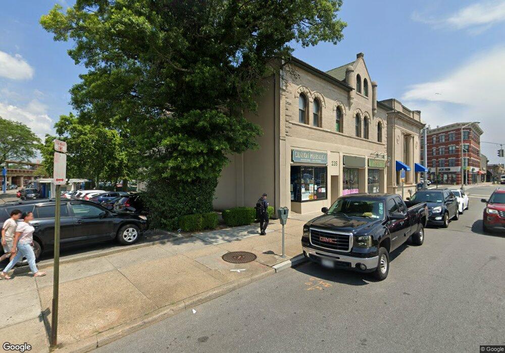
23 S Main St Freeport, NY 11520
Estimated Value: $1,235,000
--
Bed
--
Bath
16,972
Sq Ft
$73/Sq Ft
Est. Value
About This Home
This home is located at 23 S Main St, Freeport, NY 11520 and is currently estimated at $1,235,000, approximately $72 per square foot. 23 S Main St is a home with nearby schools including Columbus Avenue School, Caroline G. Atkinson Intermediate School, and John W Dodd Middle School.
Ownership History
Date
Name
Owned For
Owner Type
Purchase Details
Closed on
Feb 8, 2008
Sold by
Charlette Group Companies
Bought by
Freeport Legal Plaza Llc
Current Estimated Value
Purchase Details
Closed on
Aug 10, 2001
Sold by
Hawes George T
Bought by
Charlette Group Companies Inc
Purchase Details
Closed on
Mar 31, 1995
Sold by
Buckley Charles Est
Bought by
Buckley David
Create a Home Valuation Report for This Property
The Home Valuation Report is an in-depth analysis detailing your home's value as well as a comparison with similar homes in the area
Home Values in the Area
Average Home Value in this Area
Purchase History
| Date | Buyer | Sale Price | Title Company |
|---|---|---|---|
| Freeport Legal Plaza Llc | $1,400,000 | -- | |
| Charlette Group Companies Inc | $1,000,000 | Richard Gluzsak | |
| Buckley David | -- | -- |
Source: Public Records
Tax History Compared to Growth
Tax History
| Year | Tax Paid | Tax Assessment Tax Assessment Total Assessment is a certain percentage of the fair market value that is determined by local assessors to be the total taxable value of land and additions on the property. | Land | Improvement |
|---|---|---|---|---|
| 2025 | $44,716 | $12,363 | $1,634 | $10,729 |
| 2024 | $5,029 | $12,363 | $1,634 | $10,729 |
| 2023 | $40,454 | $12,363 | $1,634 | $10,729 |
| 2022 | $40,454 | $12,363 | $1,634 | $10,729 |
| 2021 | $58,983 | $11,700 | $1,634 | $10,066 |
| 2020 | $37,872 | $7,255 | $2,170 | $5,085 |
| 2019 | $40,805 | $7,255 | $2,170 | $5,085 |
| 2018 | $41,191 | $7,255 | $0 | $0 |
| 2017 | $35,888 | $7,255 | $2,170 | $5,085 |
| 2016 | $41,629 | $7,255 | $2,170 | $5,085 |
| 2015 | $5,043 | $7,255 | $2,170 | $5,085 |
| 2014 | $5,043 | $7,255 | $2,170 | $5,085 |
| 2013 | $4,770 | $7,255 | $2,170 | $5,085 |
Source: Public Records
Map
Nearby Homes
- 70 S Main St Unit 307-PH
- 11 Mount Ave
- 47 Harding Place
- 70 N Grove St Unit 1R
- 26 Rosedale Ave
- 100 S Ocean Ave Unit 4A
- 100 S Ocean Ave Unit 3m
- 55 S Bergen Place Unit 3F
- 158 Church St
- 124 Smith St Unit 1B
- 124 Smith St Unit 3B
- 110 Brooklyn Ave Unit 1D
- 117 N Grove St
- 45 Dehnhoff Ave
- 99 Randall Ave Unit 1Q
- 98 N Columbus Ave
- 96 N Columbus Ave
- 190 W Merrick Rd Unit 4E
- 137 Smith St Unit A4
- 145 Smith St Unit D4
- 1 W Sunrise Hwy
- 1 W Sunrise Hwy Unit A
- 1 W Sunrise Hwy Unit 1-B
- 1 W Sunrise Hwy Unit 1-D
- 5 W Sunrise Hwy Unit 2B
- 5 W Sunrise Hwy Unit 2A
- 0 E Sunrise Hwy
- 9 W Sunrise Hwy
- 42 S Main St Unit 46
- 42 S Main St Unit 2
- 42 S Main St
- 46 S Main St Unit 46
- 46 S Main St Unit 1
- 46 S Main St
- 18 E Sunrise Hwy
- 18 E Sunrise Hwy Unit 3C
- 18 E Sunrise Hwy Unit 3D
- 18 E Sunrise Hwy Unit 3B
- 18 E Sunrise Hwy Unit 3E
- 18 E Sunrise Hwy Unit 204