23 Scatacook Path Sharon, CT 06069
Estimated Value: $434,000 - $708,000
2
Beds
2
Baths
1,841
Sq Ft
$314/Sq Ft
Est. Value
About This Home
This home is located at 23 Scatacook Path, Sharon, CT 06069 and is currently estimated at $578,135, approximately $314 per square foot. 23 Scatacook Path is a home located in Litchfield County with nearby schools including Housatonic Valley Regional High School and Indian Mountain School.
Ownership History
Date
Name
Owned For
Owner Type
Purchase Details
Closed on
Oct 28, 2020
Sold by
Guarini Ludovico
Bought by
Ludovico Guarini Ret
Current Estimated Value
Purchase Details
Closed on
Sep 5, 1995
Sold by
Suydam Susan
Bought by
Blei Francine
Create a Home Valuation Report for This Property
The Home Valuation Report is an in-depth analysis detailing your home's value as well as a comparison with similar homes in the area
Home Values in the Area
Average Home Value in this Area
Purchase History
| Date | Buyer | Sale Price | Title Company |
|---|---|---|---|
| Ludovico Guarini Ret | -- | None Available | |
| Ludovico Guarini Ret | -- | None Available | |
| Blei Francine | $220,000 | -- | |
| Blei Francine | $220,000 | -- |
Source: Public Records
Mortgage History
| Date | Status | Borrower | Loan Amount |
|---|---|---|---|
| Previous Owner | Blei Francine | $22,000 | |
| Previous Owner | Blei Francine | $150,000 |
Source: Public Records
Tax History
| Year | Tax Paid | Tax Assessment Tax Assessment Total Assessment is a certain percentage of the fair market value that is determined by local assessors to be the total taxable value of land and additions on the property. | Land | Improvement |
|---|---|---|---|---|
| 2025 | $2,708 | $242,900 | $70,600 | $172,300 |
| 2024 | $2,563 | $242,900 | $70,600 | $172,300 |
| 2023 | $2,644 | $183,600 | $54,200 | $129,400 |
| 2022 | $2,644 | $183,600 | $54,200 | $129,400 |
| 2021 | $2,662 | $183,600 | $54,200 | $129,400 |
| 2020 | $2,644 | $183,600 | $54,200 | $129,400 |
| 2019 | $2,644 | $183,600 | $54,200 | $129,400 |
| 2018 | $2,458 | $167,200 | $56,400 | $110,800 |
| 2017 | $2,458 | $167,200 | $56,400 | $110,800 |
| 2016 | $2,408 | $167,200 | $56,400 | $110,800 |
| 2015 | $2,291 | $167,200 | $56,400 | $110,800 |
| 2014 | $2,215 | $167,200 | $56,400 | $110,800 |
Source: Public Records
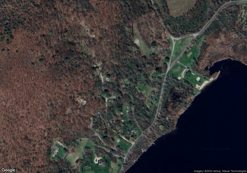
Map
Nearby Homes
- 6 Juniper Ledge Ln
- 60 Millerton Rd
- 11 Valley Rd
- 5 Valley Rd
- 151 Lake Ln
- 400 Gay St
- 0 Millerton Rd Unit 24160426
- 79 Hilltop Rd
- 0 Cornwall Bridge Rd Unit 170559925
- 138 Amenia Rd
- 59 Cornwall Bridge Rd
- 50 Jewett Hill Rd
- 2 Great Elm Rd
- 5 Great Elm Rd Unit 3
- 331 Calkinstown Rd
- 106 Indian Mountain Rd
- 0 Lime Rock Rd Unit 24116442
- 45 Herrick Rd
- 490 Mill St
- 76 Fairchild Rd
- 38 Minneluta Trail
- 40 Minneluta Trail
- 135 Mudge Pond Rd
- 28 Minneluta Trail
- 28 Minneluta Trail
- 15 Scatacook Path
- 39 Minneluta Trail
- 45 Minneluta Trail
- 133 Mudge Pond Rd
- 25 Minneluta Trail
- 11 Scatacook Path
- 139 Mudge Pond Rd
- 0 & 00 Minneluta Trail
- 18 Minneluta Trail
- 19 Minneluta Trail
- 38 Luta Heights
- 12 Minneluta Trail
- 22 Luta Heights
- 121 Mudge Pond Rd
- 16 Luta Heights
Your Personal Tour Guide
Ask me questions while you tour the home.