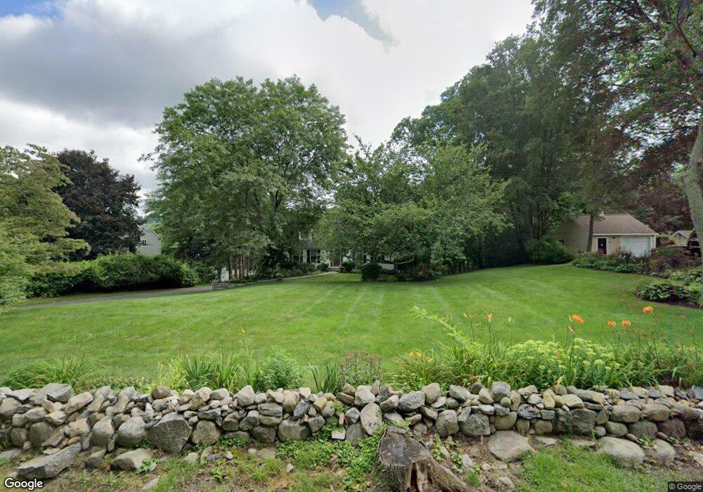
23 Secor Rd Brookfield, CT 06804
Estimated Value: $598,989 - $720,000
4
Beds
3
Baths
2,417
Sq Ft
$279/Sq Ft
Est. Value
About This Home
This home is located at 23 Secor Rd, Brookfield, CT 06804 and is currently estimated at $674,247, approximately $278 per square foot. 23 Secor Rd is a home located in Fairfield County with nearby schools including Whisconier Middle School, Brookfield High School, and Montessori Community School at Brookfield.
Ownership History
Date
Name
Owned For
Owner Type
Purchase Details
Closed on
Jul 10, 1997
Sold by
Saint Wilfred F and Saint Olwen
Bought by
Rocco John and Rocco Anna
Current Estimated Value
Home Financials for this Owner
Home Financials are based on the most recent Mortgage that was taken out on this home.
Original Mortgage
$205,425
Interest Rate
5.75%
Mortgage Type
Unknown
Create a Home Valuation Report for This Property
The Home Valuation Report is an in-depth analysis detailing your home's value as well as a comparison with similar homes in the area
Home Values in the Area
Average Home Value in this Area
Purchase History
| Date | Buyer | Sale Price | Title Company |
|---|---|---|---|
| Rocco John | $228,250 | -- | |
| Rocco John | $228,250 | -- |
Source: Public Records
Mortgage History
| Date | Status | Borrower | Loan Amount |
|---|---|---|---|
| Closed | Rocco John | $235,000 | |
| Closed | Rocco John | $201,000 | |
| Closed | Rocco John | $205,425 |
Source: Public Records
Tax History
| Year | Tax Paid | Tax Assessment Tax Assessment Total Assessment is a certain percentage of the fair market value that is determined by local assessors to be the total taxable value of land and additions on the property. | Land | Improvement |
|---|---|---|---|---|
| 2025 | $8,046 | $278,110 | $79,780 | $198,330 |
| 2024 | $7,759 | $278,110 | $79,780 | $198,330 |
| 2023 | $7,470 | $278,110 | $79,780 | $198,330 |
| 2022 | $7,197 | $278,110 | $79,780 | $198,330 |
| 2021 | $7,445 | $247,350 | $88,640 | $158,710 |
| 2020 | $7,334 | $247,350 | $88,640 | $158,710 |
| 2019 | $7,208 | $247,350 | $88,640 | $158,710 |
| 2018 | $7,010 | $247,350 | $88,640 | $158,710 |
| 2017 | $6,750 | $247,350 | $88,640 | $158,710 |
| 2016 | $6,244 | $236,530 | $97,290 | $139,240 |
| 2015 | $6,079 | $236,530 | $97,290 | $139,240 |
| 2014 | $6,079 | $236,530 | $97,290 | $139,240 |
Source: Public Records
Map
Nearby Homes
- 54 Redwood Dr
- 32 Redwood Dr
- 79 Suzie Dr
- 47 Copper Square Dr
- 23 Woods Ln Unit 23
- 603 Brookside Ct Unit 603
- 433 Brookside Ct Unit 433
- 23 Farrell Rd
- 75 Copper Square Dr
- 16 Farrell Rd
- 2 Autumn's Way
- 183 Mount Pleasant Rd
- 149 Mount Pleasant Rd
- 12 Fieldstone Ct Unit 12
- 8 Fieldstone Ct Unit 8
- 10 Fieldstone Ct Unit 10
- 1 Adams Dr
- 2 Old Grays Bridge Rd
- 16 Homestead Ln
- 112 A Stony Hill Rd
Your Personal Tour Guide
Ask me questions while you tour the home.