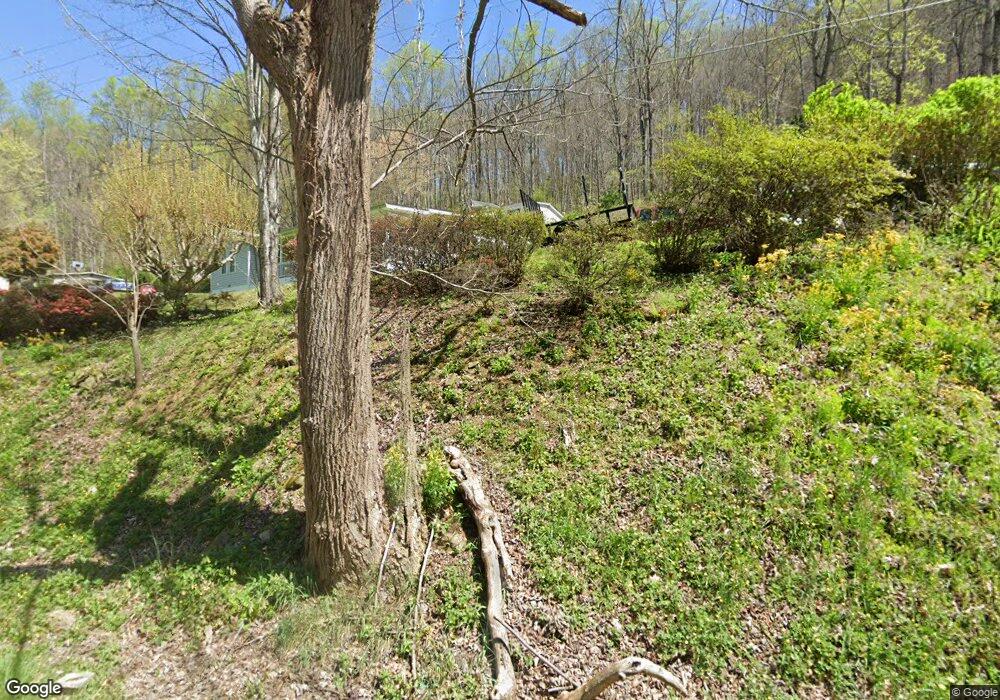
23 Shallow Dr Waynesville, NC 28786
Estimated Value: $60,556 - $456,000
--
Bed
--
Bath
--
Sq Ft
0.54
Acres
About This Home
This home is located at 23 Shallow Dr, Waynesville, NC 28786 and is currently estimated at $229,889. 23 Shallow Dr is a home with nearby schools including Hazelwood Elementary, Waynesville Middle, and Tuscola High.
Ownership History
Date
Name
Owned For
Owner Type
Purchase Details
Closed on
Jun 6, 2025
Sold by
Ledford Raymond Samuel
Bought by
Ledford Raymond Samuel and Phillips Brenda Ledford
Current Estimated Value
Purchase Details
Closed on
Oct 19, 2020
Sold by
Ledford Raymond Samuel and Ledford Carolyn Walls
Bought by
Phillips Brenda and Phillips Ronnie
Purchase Details
Closed on
Dec 20, 1972
Bought by
Ledford Raymond Samuel and Ledford Carolyn W
Create a Home Valuation Report for This Property
The Home Valuation Report is an in-depth analysis detailing your home's value as well as a comparison with similar homes in the area
Home Values in the Area
Average Home Value in this Area
Purchase History
| Date | Buyer | Sale Price | Title Company |
|---|---|---|---|
| Ledford Raymond Samuel | -- | None Listed On Document | |
| Ledford Raymond Samuel | -- | None Listed On Document | |
| Ledford Raymond Samuel | $2,041 | None Listed On Document | |
| Ledford Raymond Samuel | $2,041 | None Listed On Document | |
| Ledford Raymond Samuel | -- | None Listed On Document | |
| Ledford Raymond Samuel | -- | None Listed On Document | |
| Phillips Brenda | -- | None Available | |
| Ledford Raymond Samuel | -- | -- |
Source: Public Records
Tax History Compared to Growth
Tax History
| Year | Tax Paid | Tax Assessment Tax Assessment Total Assessment is a certain percentage of the fair market value that is determined by local assessors to be the total taxable value of land and additions on the property. | Land | Improvement |
|---|---|---|---|---|
| 2025 | $141 | $25,700 | $21,300 | $4,400 |
| 2024 | $141 | $25,700 | $21,300 | $4,400 |
| 2023 | $141 | $25,700 | $21,300 | $4,400 |
| 2022 | $138 | $25,700 | $21,300 | $4,400 |
| 2021 | $138 | $25,700 | $21,300 | $4,400 |
| 2020 | $135 | $23,100 | $18,700 | $4,400 |
| 2019 | $135 | $23,100 | $18,700 | $4,400 |
| 2018 | $135 | $23,100 | $18,700 | $4,400 |
| 2017 | $135 | $23,100 | $0 | $0 |
| 2016 | $106 | $18,700 | $0 | $0 |
| 2015 | $106 | $18,700 | $0 | $0 |
| 2014 | $101 | $18,700 | $0 | $0 |
Source: Public Records
Map
Nearby Homes
- 235 Timucua Trail
- 600 Pinewood Dr
- 00 Grouse Ridge Rd Unit 2
- 00 Grouse Ridge Rd Unit 1
- 87 Willow Rd Unit C-2
- 87 Willow Rd Unit D-16
- 0 Pinewood Dr Unit 5
- 9999 Honeysuckle Dr Unit 10
- Lot 18 & 19 Magnolia Way Unit 18 & 19
- 241 Pinewood Dr
- 171 Surrey Rd
- 00 Greenview Dr Unit 12
- 00 Greenview Dr Unit 9
- 00 Greenview Dr Unit 4
- 00 Greenview Dr Unit 6
- 00 Greenview Dr Unit 5
- 00 Greenview Dr Unit 2
- 00 Greenview Dr Unit 3
- 78 Aster Ln
- 90 Camp Branch Rd
- 7 Shallow Dr
- 74 Shallow Dr
- 719 Camp Branch Rd
- 717 Camp Branch Rd
- 4 Middleton Dr
- 4 Middleton Dr
- 30 Middleton Dr
- 169 Buckeye Dr
- 168 Buckeye Dr
- 31 Middleton Dr
- Lot 40, 43 Timucua Dr Unit Lot 40, 43
- Lot 40 & 43 Timucua Trail Unit 40 & 43
- 690 Pinewood Dr Unit 4 & 5
- 690 Pinewood Dr
- 875 Camp Branch Rd
- 854 Camp Branch Rd
- 686 Pinewood Dr
- 000 Scotchmans Rd
- 83 Buckeye Dr
- 650 Pinewood Dr