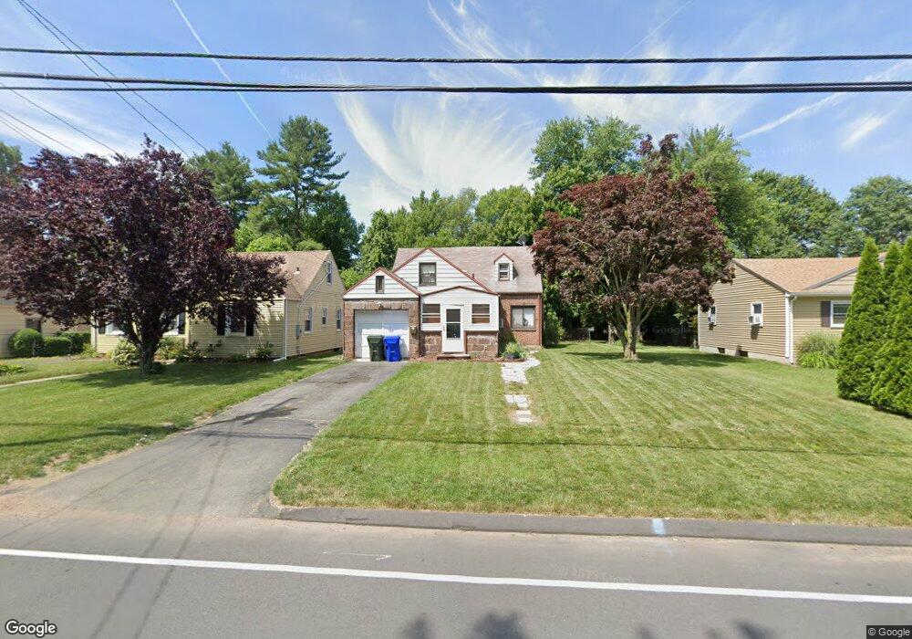
23 Simmons Rd East Hartford, CT 06118
Estimated Value: $258,844 - $294,000
3
Beds
1
Bath
1,295
Sq Ft
$217/Sq Ft
Est. Value
About This Home
This home is located at 23 Simmons Rd, East Hartford, CT 06118 and is currently estimated at $280,961, approximately $216 per square foot. 23 Simmons Rd is a home located in Hartford County with nearby schools including Governor William Pitkin School, East Hartford Middle School, and East Hartford High School.
Ownership History
Date
Name
Owned For
Owner Type
Purchase Details
Closed on
Aug 23, 2007
Sold by
Gonzalez Cruz A and Morales Maira R
Bought by
Harrigan Kelly L and Harrigan Josef T
Current Estimated Value
Home Financials for this Owner
Home Financials are based on the most recent Mortgage that was taken out on this home.
Original Mortgage
$173,600
Outstanding Balance
$110,587
Interest Rate
6.78%
Estimated Equity
$170,374
Purchase Details
Closed on
Mar 4, 2004
Sold by
Chui Kit S
Bought by
Gonzalez Cruz A and Morales Maira R
Purchase Details
Closed on
Mar 25, 1999
Sold by
Dennis-Chui
Bought by
Chui Kit S
Purchase Details
Closed on
Mar 28, 1990
Sold by
P&W Aircraft Club I
Bought by
Chui Dennis
Purchase Details
Closed on
Jan 25, 1988
Sold by
Mankowski Roman J
Bought by
Pratt
Create a Home Valuation Report for This Property
The Home Valuation Report is an in-depth analysis detailing your home's value as well as a comparison with similar homes in the area
Home Values in the Area
Average Home Value in this Area
Purchase History
| Date | Buyer | Sale Price | Title Company |
|---|---|---|---|
| Harrigan Kelly L | $175,000 | -- | |
| Gonzalez Cruz A | $133,500 | -- | |
| Chui Kit S | $80,000 | -- | |
| Chui Dennis | $129,000 | -- | |
| Pratt | $162,500 | -- |
Source: Public Records
Mortgage History
| Date | Status | Borrower | Loan Amount |
|---|---|---|---|
| Open | Pratt | $173,600 | |
| Closed | Pratt | $11,200 |
Source: Public Records
Tax History Compared to Growth
Tax History
| Year | Tax Paid | Tax Assessment Tax Assessment Total Assessment is a certain percentage of the fair market value that is determined by local assessors to be the total taxable value of land and additions on the property. | Land | Improvement |
|---|---|---|---|---|
| 2025 | $5,446 | $118,660 | $29,320 | $89,340 |
| 2024 | $5,221 | $118,660 | $29,320 | $89,340 |
| 2023 | $5,048 | $118,660 | $29,320 | $89,340 |
| 2022 | $4,865 | $118,660 | $29,320 | $89,340 |
| 2021 | $4,024 | $81,540 | $22,210 | $59,330 |
| 2020 | $4,070 | $81,540 | $22,210 | $59,330 |
| 2019 | $4,004 | $81,540 | $22,210 | $59,330 |
| 2018 | $3,886 | $81,540 | $22,210 | $59,330 |
| 2017 | $3,836 | $81,540 | $22,210 | $59,330 |
| 2016 | $3,843 | $83,800 | $22,210 | $61,590 |
| 2015 | $3,843 | $83,800 | $22,210 | $61,590 |
| 2014 | $3,805 | $83,800 | $22,210 | $61,590 |
Source: Public Records
Map
Nearby Homes
- 642 Silver Ln
- 218 Wakefield Cir Unit 218
- 16 Whitney St
- 30 Oakwood St
- 265 Burnside Ave
- 10 Kenyon Place
- 509 Burnside Ave Unit A18
- 453 Burnside Ave
- 506 Burnside Ave
- 85R Olmsted St
- 181 Burnside Ave
- 98 Olmsted St
- 51 Daniel St
- 6 Judy Dr
- 49 Deborah Dr Unit 123
- 42 Godar Terrace
- 421 Tolland St
- 421 Tolland St Unit 209
- 0 Deborah Dr Unit 117 24077631
- 0 Deborah Dr Unit 115