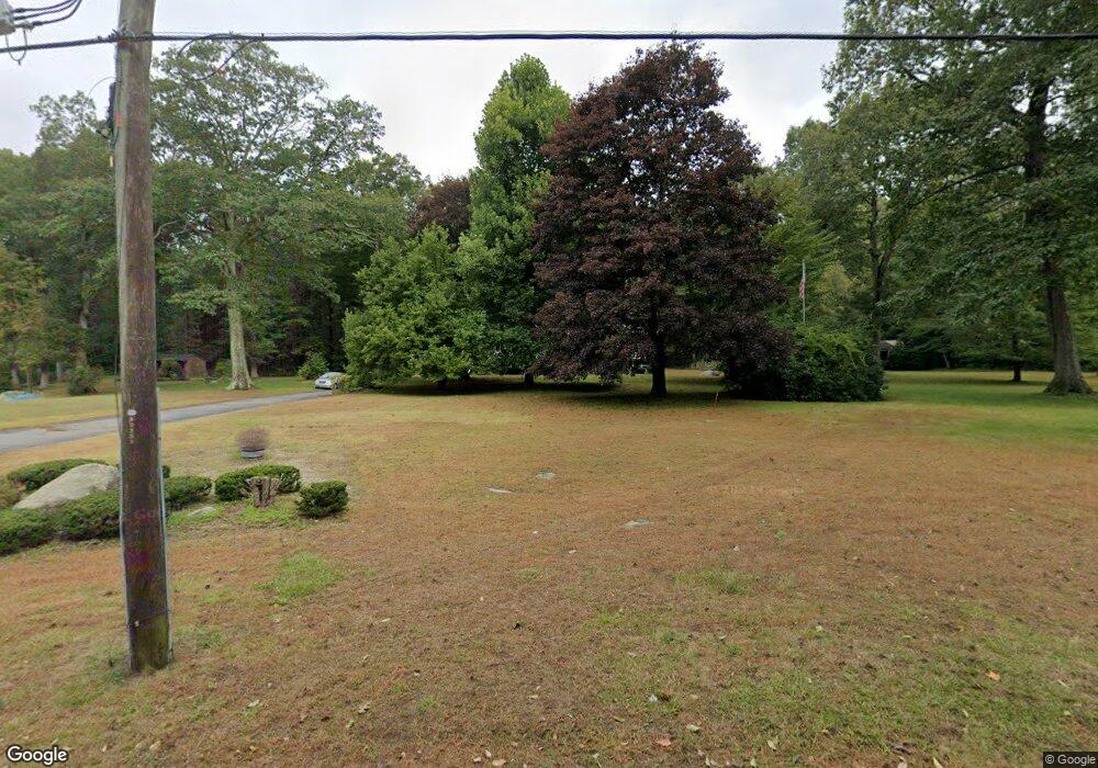
23 Spak Rd Willington, CT 06279
Estimated Value: $382,000 - $412,000
3
Beds
3
Baths
1,300
Sq Ft
$305/Sq Ft
Est. Value
About This Home
This home is located at 23 Spak Rd, Willington, CT 06279 and is currently estimated at $396,613, approximately $305 per square foot. 23 Spak Rd is a home located in Tolland County with nearby schools including Center Elementary School, Hall Memorial School, and E.O. Smith High School.
Ownership History
Date
Name
Owned For
Owner Type
Purchase Details
Closed on
May 17, 2012
Sold by
Moulton Ingela A
Bought by
Moulton Ronald E and Moulton Ingela A
Current Estimated Value
Purchase Details
Closed on
Mar 6, 1995
Sold by
Berntson Karl Erik and Berntson Karl Smith
Bought by
Moulton Ingela
Create a Home Valuation Report for This Property
The Home Valuation Report is an in-depth analysis detailing your home's value as well as a comparison with similar homes in the area
Home Values in the Area
Average Home Value in this Area
Purchase History
| Date | Buyer | Sale Price | Title Company |
|---|---|---|---|
| Moulton Ronald E | -- | -- | |
| Moulton Ronald E | -- | -- | |
| Moulton Ronald E | -- | -- | |
| Moulton Ingela | $5,000 | -- | |
| Moulton Ingela | $5,000 | -- |
Source: Public Records
Mortgage History
| Date | Status | Borrower | Loan Amount |
|---|---|---|---|
| Previous Owner | Moulton Ingela | $162,000 | |
| Previous Owner | Moulton Ingela | $120,000 |
Source: Public Records
Tax History
| Year | Tax Paid | Tax Assessment Tax Assessment Total Assessment is a certain percentage of the fair market value that is determined by local assessors to be the total taxable value of land and additions on the property. | Land | Improvement |
|---|---|---|---|---|
| 2025 | $5,887 | $231,590 | $53,620 | $177,970 |
| 2024 | $5,223 | $154,130 | $35,390 | $118,740 |
| 2023 | $4,957 | $154,130 | $35,390 | $118,740 |
| 2022 | $4,820 | $154,130 | $35,390 | $118,740 |
| 2021 | $4,622 | $154,130 | $35,390 | $118,740 |
| 2020 | $4,622 | $154,130 | $35,390 | $118,740 |
| 2019 | $4,638 | $154,130 | $35,390 | $118,740 |
| 2018 | $4,503 | $149,660 | $44,930 | $104,730 |
| 2017 | $4,503 | $149,660 | $44,930 | $104,730 |
| 2015 | $4,092 | $149,660 | $44,930 | $104,730 |
| 2014 | $4,092 | $149,660 | $44,930 | $104,730 |
Source: Public Records
Map
Nearby Homes
- 280 Village Hill Rd
- 28 Cemetery Rd
- 21 Ashley Ln
- 0 Lohse Rd Unit map 42 block 21
- 37 Willington Ave
- 3 Valery Rd
- 0 River Rd Unit 24120753
- 57 W Main St
- 228 Ruby Rd
- 27 Park St
- 7 Curtis St
- 35 Stafford St
- 0 Tolland Turnpike
- 15 Olympic Ave
- 44 Michalec Rd
- 113 Michelec Rd
- 336 East St
- 487 Buff Cap Rd
- 143 Furnace Ave
- 51 Sandy Beach Rd
Your Personal Tour Guide
Ask me questions while you tour the home.