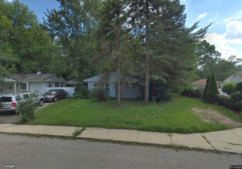
23 Sparrow Rd Carpentersville, IL 60110
Estimated Value: $183,000 - $253,000
2
Beds
--
Bath
824
Sq Ft
$273/Sq Ft
Est. Value
About This Home
This home is located at 23 Sparrow Rd, Carpentersville, IL 60110 and is currently estimated at $225,152, approximately $273 per square foot. 23 Sparrow Rd is a home located in Kane County with nearby schools including Meadowdale Elementary School, Carpentersville Middle School, and Dundee-Crown High School.
Ownership History
Date
Name
Owned For
Owner Type
Purchase Details
Closed on
Mar 2, 2021
Sold by
Goldsholl Steven
Bought by
Chicago Title Land Trust 8002385451
Current Estimated Value
Purchase Details
Closed on
Jun 20, 2005
Sold by
Midwest Capital Investments Llc
Bought by
Goldsholl Steven
Purchase Details
Closed on
Jun 9, 2005
Sold by
Mooring Tax Asset Group
Bought by
Midwest Capital Investments Llc
Purchase Details
Closed on
May 12, 2005
Sold by
County Of Kane
Bought by
Mooring Tax Asset Group
Purchase Details
Closed on
Jan 26, 2005
Sold by
Macy Richard
Bought by
Beaton Archie J
Create a Home Valuation Report for This Property
The Home Valuation Report is an in-depth analysis detailing your home's value as well as a comparison with similar homes in the area
Home Values in the Area
Average Home Value in this Area
Purchase History
| Date | Buyer | Sale Price | Title Company |
|---|---|---|---|
| Chicago Title Land Trust 8002385451 | -- | Chicago Title Land Trust | |
| Goldsholl Steven | $52,000 | -- | |
| Midwest Capital Investments Llc | $52,000 | -- | |
| Mooring Tax Asset Group | -- | -- | |
| Beaton Archie J | -- | Chicago Title Insurance Comp |
Source: Public Records
Tax History Compared to Growth
Tax History
| Year | Tax Paid | Tax Assessment Tax Assessment Total Assessment is a certain percentage of the fair market value that is determined by local assessors to be the total taxable value of land and additions on the property. | Land | Improvement |
|---|---|---|---|---|
| 2024 | $4,978 | $65,731 | $12,553 | $53,178 |
| 2023 | $4,969 | $59,143 | $11,295 | $47,848 |
| 2022 | $3,466 | $39,804 | $11,295 | $28,509 |
| 2021 | $3,405 | $37,583 | $10,665 | $26,918 |
| 2020 | $2,706 | $29,622 | $10,425 | $19,197 |
| 2019 | $2,945 | $31,121 | $9,897 | $21,224 |
| 2018 | $2,999 | $29,915 | $9,701 | $20,214 |
| 2017 | $3,281 | $31,984 | $9,075 | $22,909 |
| 2016 | $3,054 | $27,762 | $8,787 | $18,975 |
| 2015 | -- | $22,029 | $8,234 | $13,795 |
| 2014 | -- | $19,984 | $8,007 | $11,977 |
| 2013 | -- | $20,596 | $8,252 | $12,344 |
Source: Public Records
Map
Nearby Homes
- 901 Garfield Dr
- 1000 Adams Ct
- 512 Tyler Dr
- 7 Hickory Dr
- 1505 Plymouth Cir
- 1423 Windsor Cir
- 57 Robin Rd
- 4 Austin Ave
- 7 Austin Ave
- 25 Rolling Hills Dr
- 103 Hickory Dr
- 1415 Plainview Rd
- 730 Council Hill Rd
- Lot 6B Ravine Rd
- Lot 6A Ravine Rd
- Lot 6 Ravine Rd
- 1244 Brookdale Dr
- 157 Austin Ave
- 1317 Brookdale Dr
- 149 Austin Ave