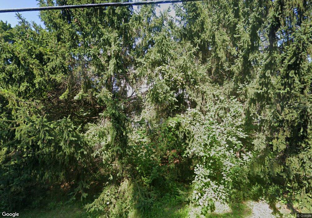
23 State Route 9h Hudson, NY 12534
Estimated Value: $382,000 - $732,079
5
Beds
3
Baths
3,309
Sq Ft
$186/Sq Ft
Est. Value
About This Home
This home is located at 23 State Route 9h, Hudson, NY 12534 and is currently estimated at $614,520, approximately $185 per square foot. 23 State Route 9h is a home located in Columbia County with nearby schools including Montgomery C. Smith Elementary School and Hudson Senior High School.
Ownership History
Date
Name
Owned For
Owner Type
Purchase Details
Closed on
Jun 25, 2024
Sold by
Everwhere And Nowhere Llc
Bought by
Ha Annie
Current Estimated Value
Purchase Details
Closed on
Aug 16, 2016
Sold by
Cook Leon
Bought by
Meacham Thomas
Purchase Details
Closed on
Jul 16, 2010
Sold by
Cook Leon
Bought by
Cook Wendall
Purchase Details
Closed on
Aug 24, 1999
Sold by
Cook Leon F
Bought by
Cook Leon F
Create a Home Valuation Report for This Property
The Home Valuation Report is an in-depth analysis detailing your home's value as well as a comparison with similar homes in the area
Home Values in the Area
Average Home Value in this Area
Purchase History
| Date | Buyer | Sale Price | Title Company |
|---|---|---|---|
| Ha Annie | -- | None Available | |
| Ha Annie | -- | None Available | |
| Meacham Thomas | $165,000 | Glenn Krutoff | |
| Meacham Thomas | $165,000 | Glenn Krutoff | |
| Cook Wendall | -- | Jane Marie Schaeffer | |
| Cook Wendall | -- | Jane Marie Schaeffer | |
| Cook Leon F | -- | -- | |
| Cook Leon F | -- | -- |
Source: Public Records
Tax History Compared to Growth
Tax History
| Year | Tax Paid | Tax Assessment Tax Assessment Total Assessment is a certain percentage of the fair market value that is determined by local assessors to be the total taxable value of land and additions on the property. | Land | Improvement |
|---|---|---|---|---|
| 2024 | $6,595 | $305,000 | $35,000 | $270,000 |
| 2023 | $6,594 | $305,000 | $35,000 | $270,000 |
| 2022 | $6,292 | $305,000 | $35,000 | $270,000 |
| 2021 | $6,159 | $305,000 | $35,000 | $270,000 |
| 2020 | $6,080 | $245,000 | $34,000 | $211,000 |
| 2019 | $6,546 | $245,000 | $34,000 | $211,000 |
| 2018 | $6,546 | $245,000 | $34,000 | $211,000 |
| 2017 | $6,611 | $245,000 | $34,000 | $211,000 |
| 2016 | $5,373 | $245,000 | $34,000 | $211,000 |
| 2015 | -- | $245,000 | $34,000 | $211,000 |
| 2014 | -- | $245,000 | $34,000 | $211,000 |
Source: Public Records
Map
Nearby Homes
- 33 Maple Ave
- 19 Rivenburg Ln
- 6154 New York 9h
- 631 New York 23
- 10 Stone Mill Rd
- 538 State Route 23b
- 0 Willmon Rd
- 8 Hover Rd
- 24 van Wyck Ln
- 5988 New York 9h
- 58 van Deusen Rd
- 10 Calico Ln Unit 1
- 135 Millbrook Rd
- 37 Hudson St
- 54 Ten Broeck Ave
- 274 Fingar Rd
- 2 Merle Ave
- 284 County Route 27b
- 441 Route 66
- 441 New York 23
- 23 New York 9h
- 23 Rte 9h
- 25 State Route 9h
- 15 State Route 9h
- 15 New York 9h
- 31 State Route 9h
- 621 Route 23b
- 621 New York 23b
- 30 New York 9h
- 20 Route 9h Unit The Cabin
- 20 Route 9h Unit The Farmhouse
- 20 Route 9h Unit The Loft
- 20 Route 9h
- 35 State Route 9h
- 37 State Route 9h
- 875 New York 23b
- 38 Route 9h
- 47 Maple Ave Unit 1
- 47 Maple Ave
- 36 Maple Ave
