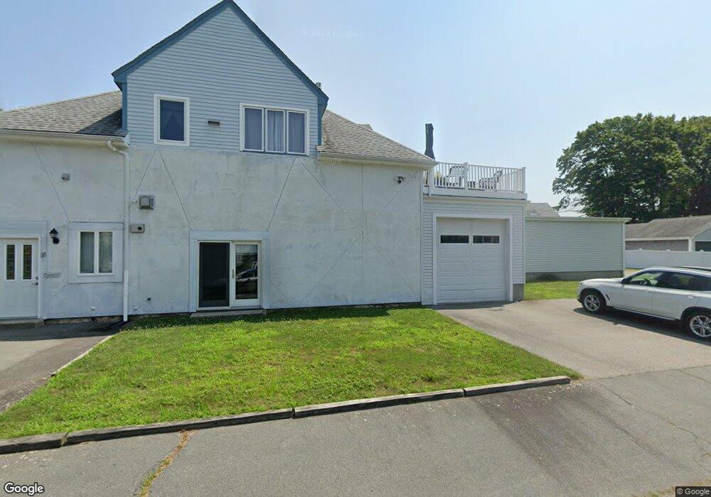
23 Summer St Fairhaven, MA 02719
Estimated Value: $509,547 - $668,000
Studio
2
Baths
2,640
Sq Ft
$228/Sq Ft
Est. Value
About This Home
This home is located at 23 Summer St, Fairhaven, MA 02719 and is currently estimated at $602,887, approximately $228 per square foot. 23 Summer St is a home located in Bristol County with nearby schools including Fairhaven High School, City On A Hill Charter Public School New Bedford, and St. Joseph School.
Ownership History
Date
Name
Owned For
Owner Type
Purchase Details
Closed on
May 18, 2005
Sold by
Greene Pamela
Bought by
Leidhold Robert A
Current Estimated Value
Purchase Details
Closed on
Jul 17, 1997
Sold by
Slades Ferry Trust Co
Bought by
Leidhold Robert A
Purchase Details
Closed on
Mar 29, 1995
Sold by
Beaulieu Leonard P
Bought by
Natl Bk Of Fairhaven
Create a Home Valuation Report for This Property
The Home Valuation Report is an in-depth analysis detailing your home's value as well as a comparison with similar homes in the area
Home Values in the Area
Average Home Value in this Area
Purchase History
| Date | Buyer | Sale Price | Title Company |
|---|---|---|---|
| Leidhold Robert A | $6,000 | -- | |
| Leidhold Robert A | $42,500 | -- | |
| Natl Bk Of Fairhaven | $64,350 | -- |
Source: Public Records
Mortgage History
| Date | Status | Borrower | Loan Amount |
|---|---|---|---|
| Open | Natl Bk Of Fairhaven | $220,000 |
Source: Public Records
Tax History
| Year | Tax Paid | Tax Assessment Tax Assessment Total Assessment is a certain percentage of the fair market value that is determined by local assessors to be the total taxable value of land and additions on the property. | Land | Improvement |
|---|---|---|---|---|
| 2025 | $34 | $367,300 | $176,600 | $190,700 |
| 2024 | $3,387 | $367,000 | $176,600 | $190,400 |
| 2023 | $3,326 | $334,300 | $154,700 | $179,600 |
| 2022 | $3,177 | $310,900 | $143,800 | $167,100 |
| 2021 | $3,044 | $269,600 | $130,100 | $139,500 |
| 2020 | $2,982 | $269,600 | $130,100 | $139,500 |
| 2019 | $2,769 | $237,300 | $107,900 | $129,400 |
| 2018 | $2,823 | $227,600 | $102,700 | $124,900 |
| 2017 | $2,681 | $222,700 | $102,700 | $120,000 |
| 2016 | $2,604 | $213,800 | $102,700 | $111,100 |
| 2015 | $2,560 | $210,700 | $102,700 | $108,000 |
Source: Public Records
Map
Nearby Homes
- 145 Pleasant St
- 132 Pleasant St
- 77 Adams St
- 58 Washington St
- 39 Christian St
- 8 Manor Dr
- 181 Washington St
- 70 Chestnut St
- 0 Nulands Neck Unit 73286360
- 67 Bridge St
- 11 Lawton St
- 48 Bellevue St
- 2 Washburn Ave
- 8 Washington St
- 24 Middle St
- 78 Middle St
- 15 School St
- 32 Green St
- 32 Cedar St
- 138 Main St Unit 13
Your Personal Tour Guide
Ask me questions while you tour the home.