Estimated Value: $494,000 - $793,000
Studio
--
Bath
1,987
Sq Ft
$346/Sq Ft
Est. Value
About This Home
This home is located at 23 Surface Ln, Twisp, WA 98856 and is currently estimated at $688,191, approximately $346 per square foot. 23 Surface Ln is a home with nearby schools including Methow Valley Elementary School, Liberty Bell Junior/Senior High School, and Methow Valley Independent Learning Center.
Ownership History
Date
Name
Owned For
Owner Type
Purchase Details
Closed on
Feb 16, 2006
Sold by
Meacham Henry N and Meacham Patricia G
Bought by
Snow Charles
Current Estimated Value
Home Financials for this Owner
Home Financials are based on the most recent Mortgage that was taken out on this home.
Original Mortgage
$63,665
Interest Rate
6.15%
Mortgage Type
Future Advance Clause Open End Mortgage
Purchase Details
Closed on
Aug 4, 2005
Sold by
Robinson Laurel Lee Lundine
Bought by
Meacham Henry N and Meacham Patricia G
Create a Home Valuation Report for This Property
The Home Valuation Report is an in-depth analysis detailing your home's value as well as a comparison with similar homes in the area
Purchase History
| Date | Buyer | Sale Price | Title Company |
|---|---|---|---|
| Snow Charles | $74,900 | Transnation Title | |
| Meacham Henry N | $62,000 | Transnation Title |
Source: Public Records
Mortgage History
| Date | Status | Borrower | Loan Amount |
|---|---|---|---|
| Closed | Snow Charles | $63,665 |
Source: Public Records
Tax History
| Year | Tax Paid | Tax Assessment Tax Assessment Total Assessment is a certain percentage of the fair market value that is determined by local assessors to be the total taxable value of land and additions on the property. | Land | Improvement |
|---|---|---|---|---|
| 2025 | $4,336 | $600,500 | $101,600 | $498,900 |
| 2024 | $4,336 | $548,900 | $101,600 | $447,300 |
| 2022 | $3,769 | $350,700 | $76,900 | $273,800 |
| 2021 | $3,980 | $350,700 | $76,900 | $273,800 |
| 2020 | $3,209 | $350,700 | $76,900 | $273,800 |
| 2019 | $3,069 | $287,500 | $76,900 | $210,600 |
| 2018 | $3,238 | $287,500 | $76,900 | $210,600 |
| 2017 | $836 | $80,900 | $76,900 | $4,000 |
| 2016 | $789 | $77,500 | $73,900 | $3,600 |
| 2015 | $729 | $77,500 | $73,900 | $3,600 |
| 2013 | -- | $77,500 | $73,900 | $3,600 |
Source: Public Records
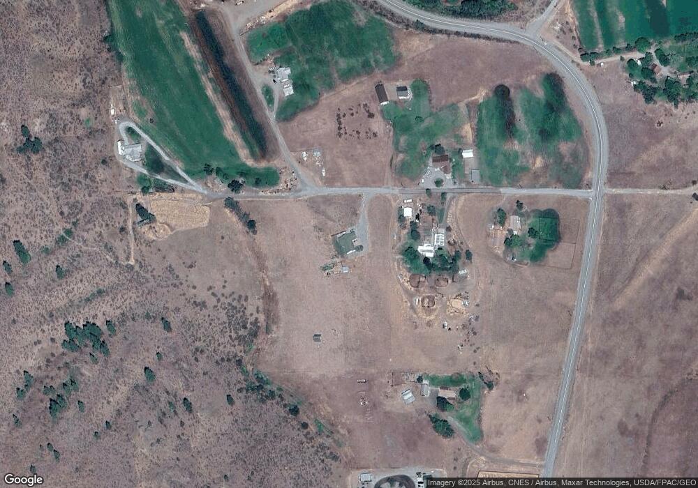
Map
Nearby Homes
- 48 Thurlow Rd
- 2992 Washington 153
- 121 Finley Canyon Rd
- 54B Ross Rd Unit B
- 1221 Riverside Ave
- 1110 Riverside Ave
- 0 Lot 2 Amended Surface Short Plat
- 805 Marble St
- 245 Twisp Carlton Rd
- 318 Lombard St
- 136 Johnson St
- 115 Johnson St N Unit 1,2,3
- 140 Twisp Ave W Unit 204
- 87 Vintin Rd
- 1941 Washington 153
- 2081 Washington 153
- 14 Maverick Ln
- 143 Harrier Hill Rd
- 7 Howerton Rd
- 88 TBD Gold Creek Rd
- 18 Surface Ln
- 9 Surface Ln
- 33 Surface Ln
- 26 Surface Ln
- 7 Surface Ln
- 609 Twisp Carlton Rd
- 22 Surface Ln
- 10 Surface Ln
- 601 Twisp Carlton Rd
- 664 Twisp Carlton Rd
- 600 Twisp Carlton Rd
- 599 Twisp Carlton Rd
- 640 Twisp Carlton Rd
- 10 Waxwing Ln
- 585 Twisp Carlton Rd
- 695 Twisp Carlton Rd
- 630 Twisp Carlton Rd Unit 2
- 630 Twisp Carlton Rd
- 630 Twisp Carlton Rd
- 49 Doe Haven Rd
Your Personal Tour Guide
Ask me questions while you tour the home.