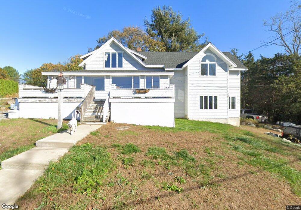
23 Thurston Point Rd Gloucester, MA 01930
Riverview NeighborhoodEstimated Value: $974,000 - $1,086,000
3
Beds
1
Bath
1,408
Sq Ft
$735/Sq Ft
Est. Value
About This Home
This home is located at 23 Thurston Point Rd, Gloucester, MA 01930 and is currently estimated at $1,034,454, approximately $734 per square foot. 23 Thurston Point Rd is a home located in Essex County with nearby schools including Beeman Memorial, Ralph B O'maley Middle School, and Gloucester High School.
Ownership History
Date
Name
Owned For
Owner Type
Purchase Details
Closed on
Oct 29, 2018
Sold by
Scalli John M and Scalli Karen J
Bought by
Scalli John M
Current Estimated Value
Home Financials for this Owner
Home Financials are based on the most recent Mortgage that was taken out on this home.
Original Mortgage
$150,000
Outstanding Balance
$130,285
Interest Rate
4.6%
Mortgage Type
New Conventional
Estimated Equity
$904,169
Purchase Details
Closed on
May 16, 1996
Sold by
Burns Walter Est and Burns
Bought by
Scalli John M and Scalli Karen S
Create a Home Valuation Report for This Property
The Home Valuation Report is an in-depth analysis detailing your home's value as well as a comparison with similar homes in the area
Home Values in the Area
Average Home Value in this Area
Purchase History
| Date | Buyer | Sale Price | Title Company |
|---|---|---|---|
| Scalli John M | $250,000 | -- | |
| Scalli John M | $250,000 | -- | |
| Scalli John M | $162,587 | -- |
Source: Public Records
Mortgage History
| Date | Status | Borrower | Loan Amount |
|---|---|---|---|
| Open | Scalli John M | $150,000 | |
| Closed | Scalli John M | $150,000 | |
| Previous Owner | Scalli John M | $213,436 | |
| Previous Owner | Scalli John M | $260,000 |
Source: Public Records
Tax History
| Year | Tax Paid | Tax Assessment Tax Assessment Total Assessment is a certain percentage of the fair market value that is determined by local assessors to be the total taxable value of land and additions on the property. | Land | Improvement |
|---|---|---|---|---|
| 2025 | $8,737 | $898,900 | $313,300 | $585,600 |
| 2024 | $8,601 | $884,000 | $298,400 | $585,600 |
| 2023 | $8,326 | $786,200 | $266,400 | $519,800 |
| 2022 | $8,020 | $683,700 | $226,600 | $457,100 |
| 2021 | $7,755 | $623,400 | $205,900 | $417,500 |
| 2020 | $7,733 | $627,200 | $205,900 | $421,300 |
| 2019 | $7,487 | $590,000 | $205,900 | $384,100 |
| 2018 | $7,291 | $563,900 | $205,900 | $358,000 |
| 2017 | $7,072 | $536,200 | $195,900 | $340,300 |
| 2016 | $7,098 | $521,500 | $196,600 | $324,900 |
| 2015 | $6,795 | $497,800 | $196,600 | $301,200 |
Source: Public Records
Map
Nearby Homes
- 2 Finch Ln
- 672 Washington St
- 226 Atlantic St
- 6 Monroe Ct
- 98 Maplewood Ave
- 16 Cleveland Place Unit 11
- 5 Samoset Rd Unit B
- 15 Harvard St
- 40 Sargent St
- 84 Centennial Ave
- 33 Maplewood Ave Unit 16
- 20 Beacon St Unit 2
- 20 Beacon St Unit 1
- 10 Oak St Unit 3
- 4 Mount Vernon St
- 118 Prospect St
- 33 Middle St
- 55 Mansfield St Unit A
- 55 Mansfield St Unit B
- 55 Mansfield St
- 21 Thurston Point Rd
- 23 Thurston Point Rd
- 19 Thurston Point Rd
- 25 Thurston Point Rd
- 13 Thurston Point Rd
- 13R Thurston Point Rd
- 28 Thurston Point Rd
- 27 Thurston Point Rd
- 34 Thurston Point Rd
- 26 Thurston Point Rd
- 31 Thurston Point Rd
- 32 Thurston Point Rd
- 11 Thurston Point Rd
- 10 Mako Dr
- 24 Thurston Point Rd
- 36 Thurston Point Rd
- 22 Thurston Point Rd
- 20 Thurston Point Rd
- 38 Thurston Point Rd
- 9 Thurston Point Rd