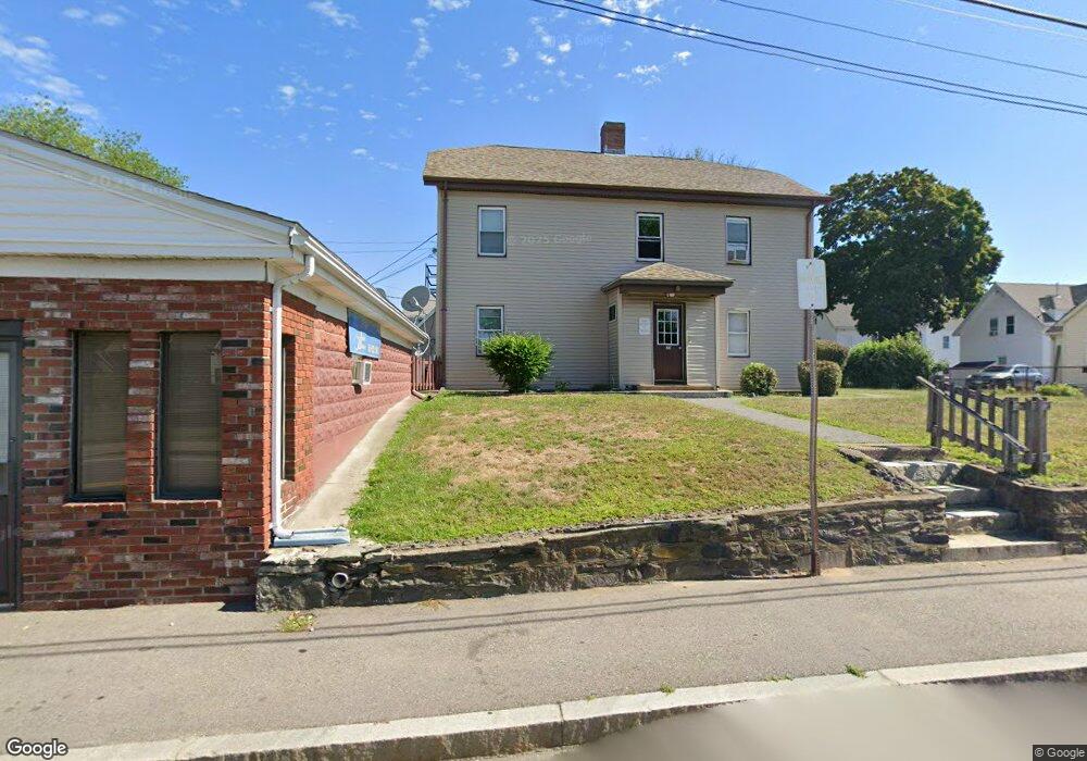
23 Tremont St Unit 7 Taunton, MA 02780
Whittenton NeighborhoodEstimated Value: $1,255,017
1
Bed
1
Bath
500
Sq Ft
$2,510/Sq Ft
Est. Value
About This Home
This home is located at 23 Tremont St Unit 7, Taunton, MA 02780 and is currently estimated at $1,255,017, approximately $2,510 per square foot. 23 Tremont St Unit 7 is a home located in Bristol County with nearby schools including H. H. Galligan School, Taunton High School, and John F. Parker Middle School.
Ownership History
Date
Name
Owned For
Owner Type
Purchase Details
Closed on
May 15, 1995
Sold by
Dumenigo Joseph A
Bought by
Tinos Rlty Inc
Current Estimated Value
Home Financials for this Owner
Home Financials are based on the most recent Mortgage that was taken out on this home.
Original Mortgage
$280,000
Interest Rate
8.31%
Mortgage Type
Commercial
Create a Home Valuation Report for This Property
The Home Valuation Report is an in-depth analysis detailing your home's value as well as a comparison with similar homes in the area
Home Values in the Area
Average Home Value in this Area
Purchase History
| Date | Buyer | Sale Price | Title Company |
|---|---|---|---|
| Tinos Rlty Inc | $310,000 | -- | |
| Tinos Rlty Inc | $310,000 | -- |
Source: Public Records
Mortgage History
| Date | Status | Borrower | Loan Amount |
|---|---|---|---|
| Closed | Tinos Rlty Inc | $280,000 | |
| Previous Owner | Tinos Rlty Inc | $165,000 |
Source: Public Records
Tax History Compared to Growth
Tax History
| Year | Tax Paid | Tax Assessment Tax Assessment Total Assessment is a certain percentage of the fair market value that is determined by local assessors to be the total taxable value of land and additions on the property. | Land | Improvement |
|---|---|---|---|---|
| 2025 | $7,496 | $717,900 | $137,900 | $580,000 |
| 2024 | $7,496 | $669,900 | $137,900 | $532,000 |
| 2023 | $0 | $531,400 | $89,100 | $442,300 |
| 2022 | $0 | $510,800 | $81,000 | $429,800 |
| 2021 | $0 | $496,000 | $81,000 | $415,000 |
| 2020 | $0 | $388,500 | $81,000 | $307,500 |
| 2019 | $0 | $327,600 | $85,000 | $242,600 |
| 2018 | $0 | $322,500 | $86,200 | $236,300 |
| 2017 | $0 | $327,900 | $81,500 | $246,400 |
| 2016 | -- | $307,100 | $79,100 | $228,000 |
| 2015 | $4,602 | $293,600 | $77,600 | $216,000 |
| 2014 | $4,602 | $301,500 | $77,600 | $223,900 |
Source: Public Records
Map
Nearby Homes
- 23 Tremont St
- 21 Tremont St
- 21 Tremont St Unit A
- 21 Tremont St Unit B
- 12 Granite St
- 26 Tremont St
- 9 Columbus Ave
- 7 Columbus Ave
- 10 Granite St
- 27 Tremont St
- 13 Granite St
- 24 Tremont St
- 3 Columbus Ave
- 17 Tremont St Unit 2
- 17 Tremont St
- 6 Granite St
- 4 Granite St Unit 2
- 23 Granite St
- 8 Columbus Ave
- 8 Columbus Ave Unit 1