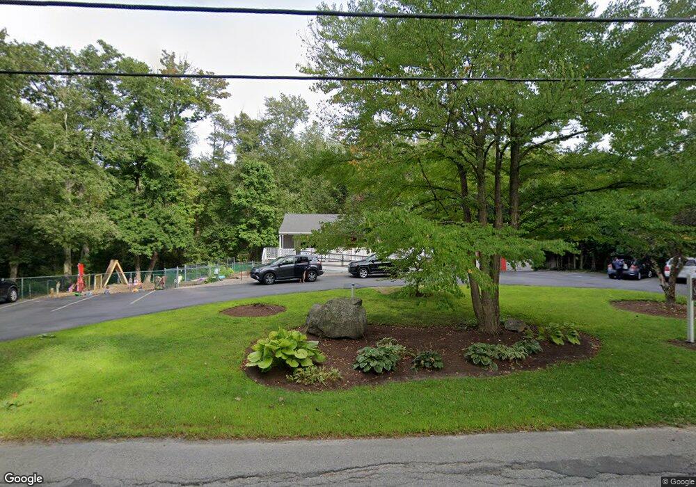
23 Union St Norfolk, MA 02056
Estimated Value: $513,402
Studio
3
Baths
1,833
Sq Ft
$280/Sq Ft
Est. Value
About This Home
This home is located at 23 Union St, Norfolk, MA 02056 and is currently estimated at $513,402, approximately $280 per square foot. 23 Union St is a home located in Norfolk County with nearby schools including H. Olive Day School, Freeman-Kennedy School, and Woodside Montessori Academy.
Ownership History
Date
Name
Owned For
Owner Type
Purchase Details
Closed on
Mar 2, 2022
Sold by
Tullos Timothy and Tullos Lynne
Bought by
Storyhts Montessori Ctr
Current Estimated Value
Home Financials for this Owner
Home Financials are based on the most recent Mortgage that was taken out on this home.
Original Mortgage
$450,000
Outstanding Balance
$416,209
Interest Rate
3.69%
Mortgage Type
Purchase Money Mortgage
Estimated Equity
$105,898
Purchase Details
Closed on
Nov 30, 2018
Sold by
Tullos Realty Partners
Bought by
Tullos Timothy and Tullos Lynne
Purchase Details
Closed on
Aug 2, 2016
Sold by
Tocci Renee M
Bought by
Tullos Realty Partners
Home Financials for this Owner
Home Financials are based on the most recent Mortgage that was taken out on this home.
Original Mortgage
$300,000
Interest Rate
3.54%
Mortgage Type
Commercial
Purchase Details
Closed on
Jul 28, 2005
Sold by
Mele John V and Mele Pamela B
Bought by
Tocci Renee M
Home Financials for this Owner
Home Financials are based on the most recent Mortgage that was taken out on this home.
Original Mortgage
$240,000
Interest Rate
5.67%
Mortgage Type
Commercial
Purchase Details
Closed on
Dec 12, 1989
Sold by
Mahoney Edward J
Bought by
Mele John V
Home Financials for this Owner
Home Financials are based on the most recent Mortgage that was taken out on this home.
Original Mortgage
$208,000
Interest Rate
9.72%
Mortgage Type
Commercial
Create a Home Valuation Report for This Property
The Home Valuation Report is an in-depth analysis detailing your home's value as well as a comparison with similar homes in the area
Home Values in the Area
Average Home Value in this Area
Purchase History
| Date | Buyer | Sale Price | Title Company |
|---|---|---|---|
| Storyhts Montessori Ctr | $475,000 | None Available | |
| Tullos Timothy | $385,000 | -- | |
| Tullos Realty Partners | $250,000 | -- | |
| Tocci Renee M | $255,000 | -- | |
| Tocci Renee M | $255,000 | -- | |
| Mele John V | $248,025 | -- | |
| Mele John | $248,025 | -- |
Source: Public Records
Mortgage History
| Date | Status | Borrower | Loan Amount |
|---|---|---|---|
| Open | Storyhts Montessori Ctr | $450,000 | |
| Previous Owner | Tullos Realty Partners | $300,000 | |
| Previous Owner | Tocci Renee M | $240,000 | |
| Previous Owner | Mele John | $98,000 | |
| Previous Owner | Mele John | $208,000 |
Source: Public Records
Tax History Compared to Growth
Tax History
| Year | Tax Paid | Tax Assessment Tax Assessment Total Assessment is a certain percentage of the fair market value that is determined by local assessors to be the total taxable value of land and additions on the property. | Land | Improvement |
|---|---|---|---|---|
| 2025 | $6,950 | $435,200 | $230,100 | $205,100 |
| 2024 | $6,746 | $433,300 | $240,700 | $192,600 |
| 2023 | $7,980 | $486,300 | $361,000 | $125,300 |
| 2022 | $7,908 | $434,500 | $309,200 | $125,300 |
| 2021 | $7,817 | $434,500 | $309,200 | $125,300 |
| 2020 | $7,180 | $385,200 | $281,200 | $104,000 |
| 2019 | $7,045 | $385,200 | $281,200 | $104,000 |
| 2018 | $5,424 | $291,300 | $187,300 | $104,000 |
| 2017 | $5,337 | $292,900 | $187,300 | $105,600 |
| 2016 | $4,948 | $273,700 | $146,300 | $127,400 |
| 2015 | $4,336 | $245,500 | $142,800 | $102,700 |
| 2014 | $4,279 | $245,500 | $142,800 | $102,700 |
Source: Public Records
Map
Nearby Homes
- 45 Meetinghouse Rd Unit 45
- 118 Main St
- 3 Elliot Mills Unit 2
- 6 Elliot Mills Unit 31
- 7 Keeney Pond Rd
- 16 Keeney Pond Rd
- 1 Norway Farms Dr
- 3 Pheasanthill Rd
- 23 Fredrickson Rd
- 292 Main St
- 3 Sparrow Rd
- 0 Toils End Rd
- 45 King St
- 12 Brookside Ln
- 37 Thomas Mann Cir Unit 23
- 51 Thomas Mann Unit 30
- 0 W Birch Rd
- 27 Thomas Mann Cir Unit 18
- 53 Thomas Mann Cir Unit 31
- 28 Thomas Mann Cir Unit Lot 38