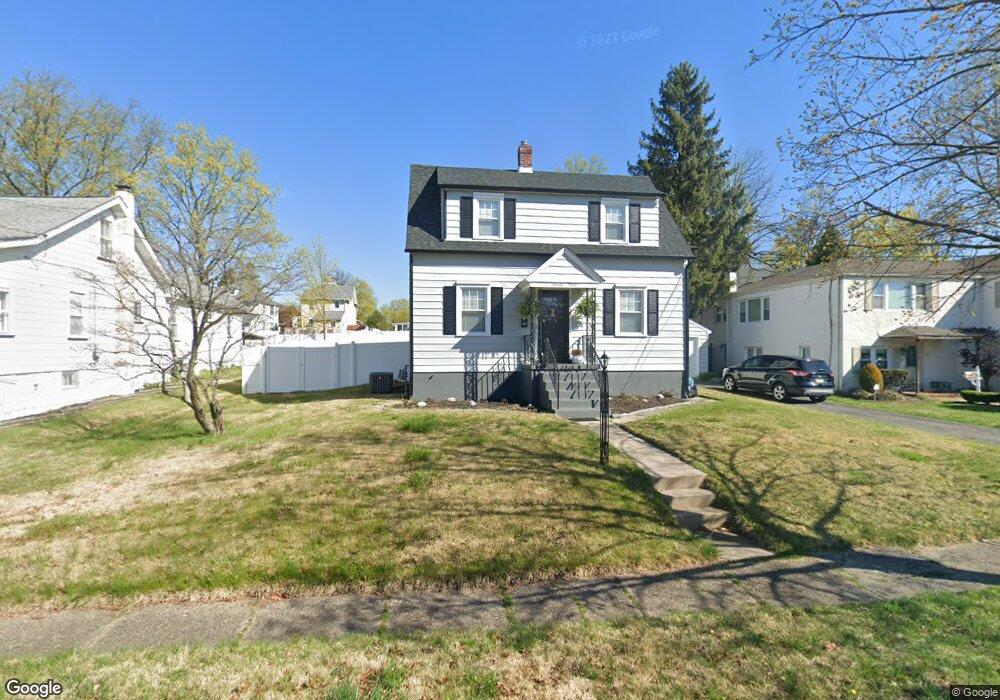
23 W Linwood Ave Maple Shade, NJ 08052
Estimated Value: $302,009
--
Bed
--
Bath
1,072
Sq Ft
$282/Sq Ft
Est. Value
About This Home
This home is located at 23 W Linwood Ave, Maple Shade, NJ 08052 and is currently estimated at $302,009, approximately $281 per square foot. 23 W Linwood Ave is a home located in Burlington County with nearby schools including Ralph J Steinhauer Elementary School, Maude M. Wilkins Elementary School, and Howard R Yocum School.
Ownership History
Date
Name
Owned For
Owner Type
Purchase Details
Closed on
Dec 16, 2019
Sold by
Murray William F and Murray Dianne
Bought by
Brosman Katie L
Current Estimated Value
Home Financials for this Owner
Home Financials are based on the most recent Mortgage that was taken out on this home.
Original Mortgage
$156,750
Outstanding Balance
$138,198
Interest Rate
3.6%
Mortgage Type
New Conventional
Estimated Equity
$189,802
Purchase Details
Closed on
Apr 30, 2002
Sold by
Murray William H and Murray Nellie D
Bought by
Murray William F and Murray Nellie D
Create a Home Valuation Report for This Property
The Home Valuation Report is an in-depth analysis detailing your home's value as well as a comparison with similar homes in the area
Home Values in the Area
Average Home Value in this Area
Purchase History
| Date | Buyer | Sale Price | Title Company |
|---|---|---|---|
| Brosman Katie L | $165,000 | City Abstract Llc | |
| Murray William F | -- | -- |
Source: Public Records
Mortgage History
| Date | Status | Borrower | Loan Amount |
|---|---|---|---|
| Open | Brosman Katie L | $156,750 |
Source: Public Records
Tax History Compared to Growth
Tax History
| Year | Tax Paid | Tax Assessment Tax Assessment Total Assessment is a certain percentage of the fair market value that is determined by local assessors to be the total taxable value of land and additions on the property. | Land | Improvement |
|---|---|---|---|---|
| 2025 | $5,273 | $138,900 | $50,900 | $88,000 |
| 2024 | $5,120 | $138,900 | $50,900 | $88,000 |
| 2023 | $5,120 | $138,900 | $50,900 | $88,000 |
| 2022 | $5,041 | $138,900 | $50,900 | $88,000 |
| 2021 | $4,992 | $138,900 | $50,900 | $88,000 |
| 2020 | $5,006 | $138,900 | $50,900 | $88,000 |
| 2019 | $4,823 | $138,900 | $50,900 | $88,000 |
| 2018 | $4,739 | $138,900 | $50,900 | $88,000 |
| 2017 | $4,434 | $138,900 | $50,900 | $88,000 |
| 2016 | $4,364 | $138,900 | $50,900 | $88,000 |
| 2015 | $4,264 | $138,900 | $50,900 | $88,000 |
| 2014 | $4,127 | $138,900 | $50,900 | $88,000 |
Source: Public Records
Map
Nearby Homes
- 29 W Broadway
- 63 Mecray Ln
- 22 Theodore Ave
- 301 N Coles Ave
- 26 N Poplar Ave
- 104 E Laurelton Ave
- 57 S Terrace Ave
- 480 W Front St
- 4 W Germantown Ave
- 112 S Maple Ave
- 2 Gainor Ave
- 19 S Chestnut Ave
- 52 S Fellowship Rd
- 411 Stiles Ave Unit E-5
- 120 E Center Ave
- 702 E Main St
- 5 Paul Rd
- 44 S Pine Ave
- 15 S Pine Ave
- 410 S Forklanding Rd
- 27 W Linwood Ave
- 31 W Linwood Ave
- 15 W Linwood Ave
- 210 N Forklanding Rd
- 14 W Park Ave
- 35 W Linwood Ave
- 214 N Forklanding Rd
- 214 N Forklanding Rd Unit A
- 18 W Park Ave
- 200 N Forklanding Rd
- 22 W Park Ave
- 220 N Forklanding Rd
- 0 Mecray Ln
- 22 W Linwood Ave
- 222 N Forklanding Rd
- 39 W Linwood Ave
- 18 W Linwood Ave
- 26 W Linwood Ave
- 14 W Linwood Ave
- 26 W Park Ave