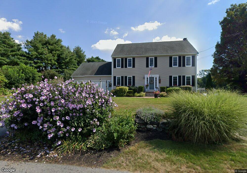
23 Ward Rd Southborough, MA 01772
Estimated Value: $762,000 - $1,071,000
4
Beds
3
Baths
2,356
Sq Ft
$400/Sq Ft
Est. Value
About This Home
This home is located at 23 Ward Rd, Southborough, MA 01772 and is currently estimated at $943,188, approximately $400 per square foot. 23 Ward Rd is a home located in Worcester County with nearby schools including Mary E Finn School, Albert S. Woodward Memorial School, and Margaret A. Neary School.
Ownership History
Date
Name
Owned For
Owner Type
Purchase Details
Closed on
Jun 1, 2004
Sold by
Profeta Catherine C and Profeta Salvatore
Bought by
Araujo Jill and Araujo Michael
Current Estimated Value
Home Financials for this Owner
Home Financials are based on the most recent Mortgage that was taken out on this home.
Original Mortgage
$260,000
Interest Rate
5.88%
Mortgage Type
Purchase Money Mortgage
Purchase Details
Closed on
Sep 29, 2000
Sold by
Entwistle Darlen E and Entwisle Lawrence N
Bought by
Profeta Salvatore and Profeta Catherine C
Purchase Details
Closed on
May 29, 1998
Sold by
Stoneridge Dev Inc
Bought by
Entwisle Lawrence N and Entwistle Darlene E
Purchase Details
Closed on
Nov 18, 1997
Sold by
Etruscan Dev Inc
Bought by
Stoneridge Dev Inc
Create a Home Valuation Report for This Property
The Home Valuation Report is an in-depth analysis detailing your home's value as well as a comparison with similar homes in the area
Home Values in the Area
Average Home Value in this Area
Purchase History
| Date | Buyer | Sale Price | Title Company |
|---|---|---|---|
| Araujo Jill | $480,000 | -- | |
| Profeta Salvatore | $389,999 | -- | |
| Entwisle Lawrence N | $265,000 | -- | |
| Stoneridge Dev Inc | $70,000 | -- |
Source: Public Records
Mortgage History
| Date | Status | Borrower | Loan Amount |
|---|---|---|---|
| Open | Stoneridge Dev Inc | $235,000 | |
| Closed | Stoneridge Dev Inc | $240,000 | |
| Closed | Araujo Jill | $260,000 |
Source: Public Records
Tax History Compared to Growth
Tax History
| Year | Tax Paid | Tax Assessment Tax Assessment Total Assessment is a certain percentage of the fair market value that is determined by local assessors to be the total taxable value of land and additions on the property. | Land | Improvement |
|---|---|---|---|---|
| 2025 | $12,178 | $881,800 | $294,500 | $587,300 |
| 2024 | $11,561 | $831,100 | $294,500 | $536,600 |
| 2023 | $10,878 | $737,000 | $274,000 | $463,000 |
| 2022 | $10,481 | $643,800 | $244,000 | $399,800 |
| 2021 | $9,911 | $611,400 | $226,000 | $385,400 |
| 2020 | $9,746 | $585,000 | $213,200 | $371,800 |
| 2019 | $9,306 | $555,900 | $198,000 | $357,900 |
| 2018 | $8,677 | $537,600 | $194,100 | $343,500 |
| 2017 | $8,581 | $523,900 | $193,900 | $330,000 |
| 2016 | $7,915 | $500,300 | $189,700 | $310,600 |
| 2015 | $7,736 | $482,900 | $172,700 | $310,200 |
Source: Public Records
Map
Nearby Homes
- 14 High St
- 15 Lovers Ln
- 14 Lovers Ln
- 379 Stearns Rd
- 43 Stearns Rd
- 6 Walker St
- 181 Morrissey Rd
- 8 Samuel Harrington Rd
- 6 Eastbrook Farm Ln
- 56 Sears Rd
- 105 Fisher Rd
- lot 1 Sears Rd
- Lot 2 Quinn Rd
- 237 Brigham St
- 120 Airport Blvd
- 20 Clifford Rd
- 38 Haskell St
- 38 Gleason Street Extension
- 19 Washington St
- 11302 Peters Farm Way Unit 11302