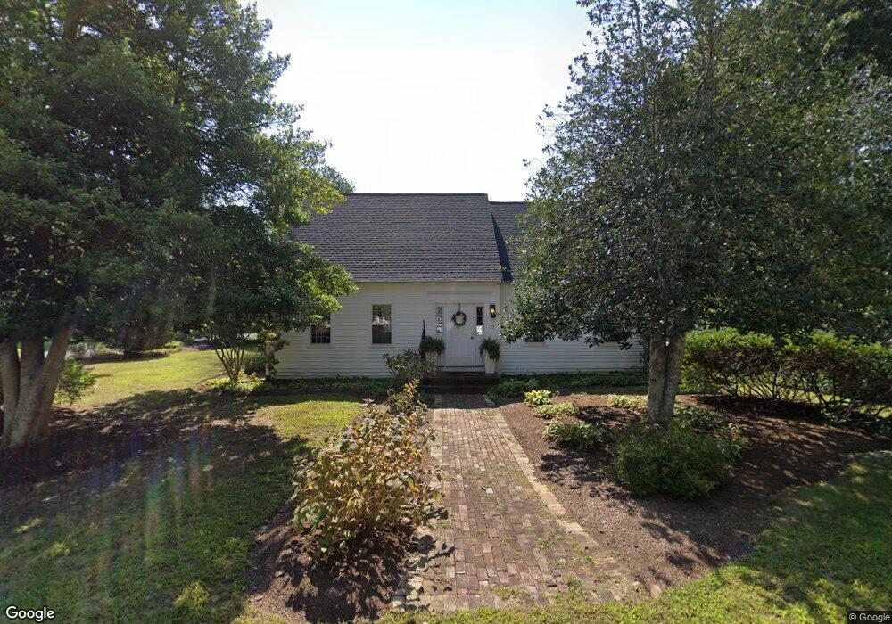
23 Whippoorwill Ln Yarmouth Port, MA 02675
Yarmouth Port NeighborhoodEstimated Value: $872,432 - $1,188,000
4
Beds
3
Baths
2,201
Sq Ft
$448/Sq Ft
Est. Value
About This Home
This home is located at 23 Whippoorwill Ln, Yarmouth Port, MA 02675 and is currently estimated at $986,608, approximately $448 per square foot. 23 Whippoorwill Ln is a home located in Barnstable County with nearby schools including Dennis-Yarmouth Regional High School.
Ownership History
Date
Name
Owned For
Owner Type
Purchase Details
Closed on
Aug 16, 2010
Sold by
Letarte Michele K
Bought by
Ross Michele L
Current Estimated Value
Home Financials for this Owner
Home Financials are based on the most recent Mortgage that was taken out on this home.
Original Mortgage
$116,000
Interest Rate
4.63%
Mortgage Type
Purchase Money Mortgage
Purchase Details
Closed on
Sep 13, 1996
Sold by
Anthony William S and Paton Dorothy F
Bought by
Letarte Michele F
Home Financials for this Owner
Home Financials are based on the most recent Mortgage that was taken out on this home.
Original Mortgage
$155,000
Interest Rate
8.18%
Mortgage Type
Purchase Money Mortgage
Create a Home Valuation Report for This Property
The Home Valuation Report is an in-depth analysis detailing your home's value as well as a comparison with similar homes in the area
Home Values in the Area
Average Home Value in this Area
Purchase History
| Date | Buyer | Sale Price | Title Company |
|---|---|---|---|
| Ross Michele L | -- | -- | |
| Letarte Michele F | $164,500 | -- |
Source: Public Records
Mortgage History
| Date | Status | Borrower | Loan Amount |
|---|---|---|---|
| Closed | Letarte Michele F | $0 | |
| Open | Letarte Michele F | $240,000 | |
| Closed | Ross Michele L | $116,000 | |
| Previous Owner | Letarte Michele F | $50,000 | |
| Previous Owner | Letarte Michele F | $155,000 |
Source: Public Records
Tax History Compared to Growth
Tax History
| Year | Tax Paid | Tax Assessment Tax Assessment Total Assessment is a certain percentage of the fair market value that is determined by local assessors to be the total taxable value of land and additions on the property. | Land | Improvement |
|---|---|---|---|---|
| 2025 | $5,997 | $847,100 | $234,200 | $612,900 |
| 2024 | $5,562 | $753,600 | $203,700 | $549,900 |
| 2023 | $5,374 | $662,600 | $192,000 | $470,600 |
| 2022 | $5,701 | $621,000 | $218,200 | $402,800 |
| 2021 | $5,516 | $577,000 | $208,200 | $368,800 |
| 2020 | $5,323 | $532,300 | $207,900 | $324,400 |
| 2019 | $4,980 | $493,100 | $207,900 | $285,200 |
| 2018 | $4,978 | $483,800 | $198,600 | $285,200 |
| 2017 | $4,848 | $483,800 | $198,600 | $285,200 |
| 2016 | $4,828 | $483,800 | $198,600 | $285,200 |
| 2015 | $4,696 | $467,700 | $198,600 | $269,100 |
Source: Public Records
Map
Nearby Homes
- 30 W Woods
- 30 W Woods Cir Unit 30
- 2 Pine Grove
- 7 Forest Gate Unit 7
- 23 Dauphine Dr
- 25 Oak Glen Village Unit 25
- 25 Oak Glen
- 50 John Hall Cartway
- 50 John Hall Cartway Unit 50
- 42 John Hall Cartway Unit 42
- 228 Kates Path
- 17 Kates Path Unit A
- 34 Kates Path
- 34 Kates Path Unit 34
- 24 Minnetuxet Way
- 64 Kates Path
- 43 Canterbury Rd
- 49 Rodoalph's Way
- 4 Spadoni Way
- 4 Spadoni Rd
- 15 Whippoorwill Ln
- 9 Pheasant Cove Cir
- 2 Pheasant Cove Cir
- 8 Pheasant Cove Cir
- 26 Whippoorwill Ln
- 125 Homers Dock Rd
- 20 Whippoorwill Ln
- 7 Whippoorwill Ln
- 32 Whippoorwill Ln
- 14 Pheasant Cove Cir
- 2 Shell Dr
- 119 Homers Dock Rd
- 92 Pheasant Cove Cir
- 86 Pheasant Cove Cir
- 17 Windswept Path
- 19 Pheasant Cove Cir
- 11 Windswept Path
- 10 Gaslight Dr
- 23 Windswept Path
- 102 Pheasant Cove Cir