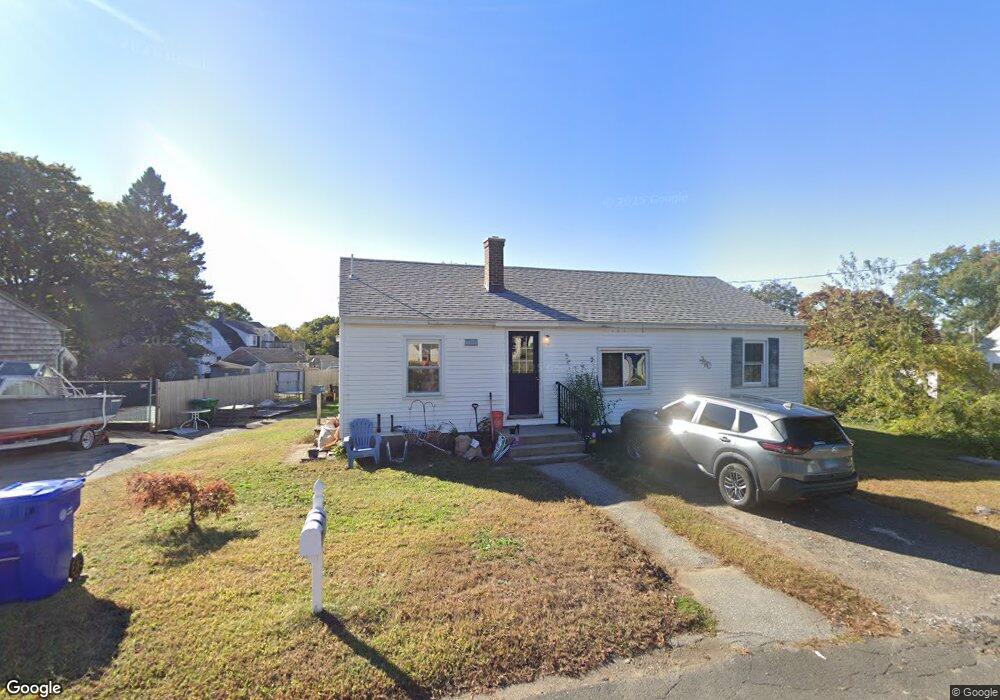
23 Wild Rose Ave Waterford, CT 06385
Estimated Value: $308,000 - $319,000
3
Beds
1
Bath
1,008
Sq Ft
$312/Sq Ft
Est. Value
About This Home
This home is located at 23 Wild Rose Ave, Waterford, CT 06385 and is currently estimated at $314,771, approximately $312 per square foot. 23 Wild Rose Ave is a home located in New London County with nearby schools including Clark Lane Middle School, Waterford High School, and New London High School Multi-Magnet Campus.
Ownership History
Date
Name
Owned For
Owner Type
Purchase Details
Closed on
Mar 5, 2012
Sold by
Mauro Joy
Bought by
Aurora Loan Svcs Llc
Current Estimated Value
Purchase Details
Closed on
Mar 31, 1998
Sold by
Leger Robert and Leger Barbara
Bought by
Roselund Doreen G
Home Financials for this Owner
Home Financials are based on the most recent Mortgage that was taken out on this home.
Original Mortgage
$90,000
Interest Rate
6.96%
Mortgage Type
Purchase Money Mortgage
Create a Home Valuation Report for This Property
The Home Valuation Report is an in-depth analysis detailing your home's value as well as a comparison with similar homes in the area
Home Values in the Area
Average Home Value in this Area
Purchase History
| Date | Buyer | Sale Price | Title Company |
|---|---|---|---|
| Aurora Loan Svcs Llc | -- | -- | |
| Roselund Doreen G | $93,900 | -- |
Source: Public Records
Mortgage History
| Date | Status | Borrower | Loan Amount |
|---|---|---|---|
| Previous Owner | Roselund Doreen G | $90,000 |
Source: Public Records
Tax History Compared to Growth
Tax History
| Year | Tax Paid | Tax Assessment Tax Assessment Total Assessment is a certain percentage of the fair market value that is determined by local assessors to be the total taxable value of land and additions on the property. | Land | Improvement |
|---|---|---|---|---|
| 2025 | $3,047 | $130,440 | $58,230 | $72,210 |
| 2024 | $2,909 | $130,440 | $58,230 | $72,210 |
| 2023 | $2,765 | $130,440 | $58,230 | $72,210 |
| 2022 | $2,700 | $97,970 | $43,040 | $54,930 |
| 2021 | $2,708 | $97,970 | $43,040 | $54,930 |
| 2020 | $2,730 | $97,970 | $43,040 | $54,930 |
| 2019 | $2,741 | $97,970 | $43,040 | $54,930 |
| 2018 | $2,686 | $97,970 | $43,040 | $54,930 |
| 2017 | $2,668 | $98,720 | $45,570 | $53,150 |
| 2016 | $2,644 | $98,720 | $45,570 | $53,150 |
| 2015 | $2,550 | $98,720 | $45,570 | $53,150 |
| 2014 | $2,550 | $98,720 | $45,570 | $53,150 |
Source: Public Records
Map
Nearby Homes
- 68 Clark Ln
- 213 Boston Post Rd
- 54 Rope Ferry Rd Unit C55
- 54 Rope Ferry Rd Unit D72
- 54 Rope Ferry Rd Unit C45
- 24 Pine St
- 35 Pine St
- 12 Pine St
- 5 Windy Ridge Place Unit 5
- 270 Boston Post Rd Unit 22
- 270 Boston Post Rd Unit TRLR 6
- 34 Ivy Hill Rd
- 7 Ivy Hill Rd
- 11 Ivy Hill Rd Unit 11
- 26 Ivy Hill Rd
- 2 Faye St
- 77 Colman St
- 18 W Pleasant St
- 27 Mullen Hill Rd
- 835 Bank St
- 21 Wild Rose Ave
- 16 Wild Rose Place
- 14 Wild Rose Place
- 12 Wild Rose Place
- 12 Wild Rose Place Unit 2
- 24 Wild Rose Ave
- 26 Wild Rose Ave
- 13 Wild Rose Ave
- 20 Wild Rose Ave
- 18 Wild Rose Place
- 16 Wild Rose Ave
- 28 Wild Rose Ave
- 15 Wild Rose Place
- 14 Wild Rose Ave
- 19 Wild Rose Place
- 11 Wild Rose Ave
- 29 Wild Rose Ave
- 9 Wild Rose Place
- 4 Vivian Ct
- 8 Vivian Ct