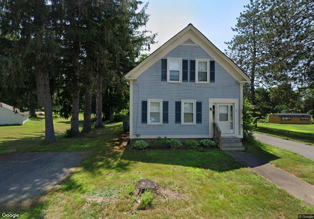
23 Winchester Rd Northfield, MA 01360
Estimated Value: $365,000 - $420,000
4
Beds
2
Baths
2,314
Sq Ft
$167/Sq Ft
Est. Value
About This Home
This home is located at 23 Winchester Rd, Northfield, MA 01360 and is currently estimated at $387,475, approximately $167 per square foot. 23 Winchester Rd is a home located in Franklin County with nearby schools including Pioneer Valley Regional.
Ownership History
Date
Name
Owned For
Owner Type
Purchase Details
Closed on
May 27, 2022
Sold by
Thomas Aquinas College
Bought by
Shivone Stephen and Shivone Mary A
Current Estimated Value
Home Financials for this Owner
Home Financials are based on the most recent Mortgage that was taken out on this home.
Original Mortgage
$243,000
Outstanding Balance
$228,229
Interest Rate
5%
Mortgage Type
Purchase Money Mortgage
Estimated Equity
$159,246
Create a Home Valuation Report for This Property
The Home Valuation Report is an in-depth analysis detailing your home's value as well as a comparison with similar homes in the area
Home Values in the Area
Average Home Value in this Area
Purchase History
| Date | Buyer | Sale Price | Title Company |
|---|---|---|---|
| Shivone Stephen | $270,000 | None Available |
Source: Public Records
Mortgage History
| Date | Status | Borrower | Loan Amount |
|---|---|---|---|
| Open | Shivone Stephen | $243,000 |
Source: Public Records
Tax History
| Year | Tax Paid | Tax Assessment Tax Assessment Total Assessment is a certain percentage of the fair market value that is determined by local assessors to be the total taxable value of land and additions on the property. | Land | Improvement |
|---|---|---|---|---|
| 2025 | $4,922 | $355,600 | $67,700 | $287,900 |
| 2024 | $4,689 | $345,300 | $63,800 | $281,500 |
| 2023 | $4,232 | $311,600 | $63,400 | $248,200 |
| 2022 | $9,706 | $710,700 | $67,100 | $643,600 |
| 2021 | $9,706 | $648,500 | $64,900 | $583,600 |
| 2020 | -- | $613,600 | $62,100 | $551,500 |
| 2019 | $9,706 | $584,500 | $59,200 | $525,300 |
| 2018 | $9,706 | $590,000 | $59,200 | $530,800 |
| 2017 | $9,706 | $590,000 | $59,200 | $530,800 |
| 2016 | $9,375 | $590,000 | $59,200 | $530,800 |
| 2015 | $9,953 | $597,800 | $59,200 | $538,600 |
Source: Public Records
Map
Nearby Homes
- 16 Harbourt Dr
- 64 East St
- 83 Capt Beers Plain Rd
- 0 Tipping Rock Rd Unit 32
- 259 Bolton Rd
- 56 Whitetail Dr
- 258 Bolton Rd
- 0 Sears St Unit 23759828
- 0, Lot 1 Flower Hill Rd
- 90 Hemlock Rd
- 464 Main Rd
- 31 Poplar Ln
- 946 Huckle Hill Rd
- 406 Back Ashuelot Rd
- 119 Warwick Rd
- 7 Purcell Rd
- 0 Meadowview Ln & Pine Meadow Rd
- 290 Scotland Rd
- 69 Plumb Pak Dr
- 0 Ashuelot Main St Unit 4978464
Your Personal Tour Guide
Ask me questions while you tour the home.