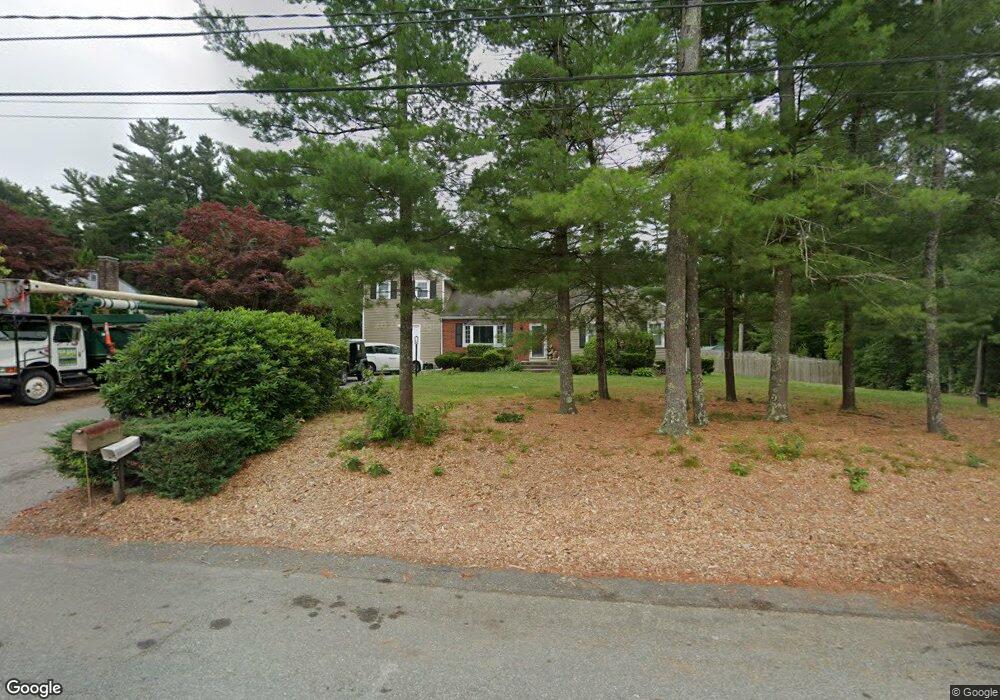
23 Winfield St East Freetown, MA 02717
Estimated Value: $598,000 - $699,000
3
Beds
2
Baths
1,242
Sq Ft
$517/Sq Ft
Est. Value
About This Home
This home is located at 23 Winfield St, East Freetown, MA 02717 and is currently estimated at $642,685, approximately $517 per square foot. 23 Winfield St is a home located in Bristol County with nearby schools including Freetown Elementary School, George R Austin Intermediate School, and Freetown-Lakeville Middle School.
Ownership History
Date
Name
Owned For
Owner Type
Purchase Details
Closed on
Dec 13, 2004
Sold by
Adam Jeanne A and Adam Louis E
Bought by
Jope Amy D and Jope Michael E
Current Estimated Value
Create a Home Valuation Report for This Property
The Home Valuation Report is an in-depth analysis detailing your home's value as well as a comparison with similar homes in the area
Home Values in the Area
Average Home Value in this Area
Purchase History
| Date | Buyer | Sale Price | Title Company |
|---|---|---|---|
| Jope Amy D | $305,000 | -- |
Source: Public Records
Mortgage History
| Date | Status | Borrower | Loan Amount |
|---|---|---|---|
| Open | Jope Amy D | $181,000 |
Source: Public Records
Tax History Compared to Growth
Tax History
| Year | Tax Paid | Tax Assessment Tax Assessment Total Assessment is a certain percentage of the fair market value that is determined by local assessors to be the total taxable value of land and additions on the property. | Land | Improvement |
|---|---|---|---|---|
| 2025 | $5,719 | $577,100 | $178,300 | $398,800 |
| 2024 | $5,730 | $549,400 | $168,100 | $381,300 |
| 2023 | $5,538 | $517,100 | $151,400 | $365,700 |
| 2022 | $5,121 | $424,600 | $128,300 | $296,300 |
| 2021 | $4,911 | $386,700 | $116,600 | $270,100 |
| 2020 | $4,907 | $376,900 | $112,200 | $264,700 |
| 2019 | $4,670 | $355,100 | $106,900 | $248,200 |
| 2018 | $4,384 | $329,400 | $106,900 | $222,500 |
| 2017 | $4,285 | $321,700 | $106,900 | $214,800 |
| 2016 | $3,910 | $298,700 | $103,800 | $194,900 |
| 2015 | $3,715 | $288,000 | $103,800 | $184,200 |
| 2014 | $3,001 | $238,000 | $101,600 | $136,400 |
Source: Public Records
Map
Nearby Homes
- 3 Abraham Ave
- 247 Braley Hill Rd
- 269 Middleboro Rd
- 28 Cedar Hill Dr
- 714 Snipatuit Rd
- 9 Paul Ave
- 120 Hackett Ave
- 21 Bennett Rd
- 60 Lakeside Ave
- 168 Keene Rd
- 199 Quaker Ln
- 4597 Acushnet Ave
- 562 North Ave
- 0 Keene Rd Unit 73459818
- 319 Northwest St
- 15 Morrison Way
- 353 Upland St
- 0 Costa Dr
- 21 Robinson Rd
- 1 Clems Way