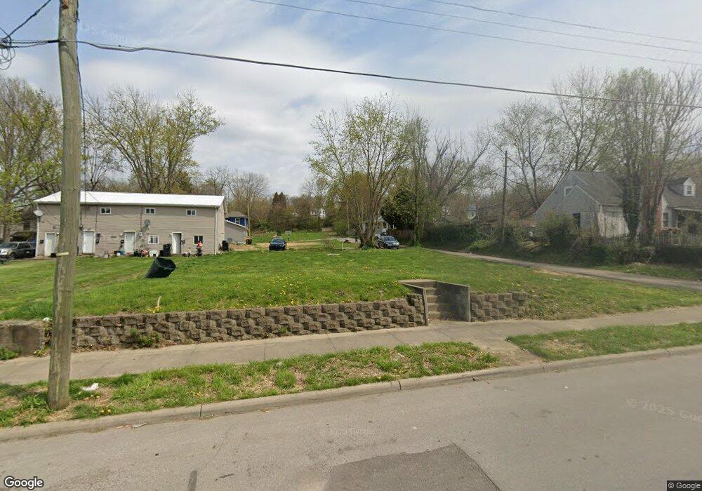
230 - 232 Luck Ave Zanesville, OH 43701
Estimated Value: $78,000 - $286,000
5
Beds
3
Baths
2,674
Sq Ft
$70/Sq Ft
Est. Value
About This Home
This home is located at 230 - 232 Luck Ave, Zanesville, OH 43701 and is currently estimated at $187,333, approximately $70 per square foot. 230 - 232 Luck Ave is a home located in Muskingum County with nearby schools including Zane Grey Elementary School, Zanesville Middle School, and Zanesville High School.
Ownership History
Date
Name
Owned For
Owner Type
Purchase Details
Closed on
Nov 29, 2023
Sold by
Zanesville Community Improvement Corpora
Bought by
Habitat For Humanity Of Southeast Ohio Inc
Current Estimated Value
Purchase Details
Closed on
May 17, 2023
Sold by
Muskingum County Land Reutilization Corp
Bought by
Zanesville Community Improvement Corporation
Purchase Details
Closed on
Jul 3, 2012
Sold by
Wilson Michael and Wilson Terina
Bought by
Kemp Giovanni Angelo
Purchase Details
Closed on
Aug 14, 2002
Sold by
Zanesville Housing Dev
Bought by
Wilson Michael and Wilson Terina
Home Financials for this Owner
Home Financials are based on the most recent Mortgage that was taken out on this home.
Original Mortgage
$40,000
Interest Rate
6.64%
Mortgage Type
New Conventional
Create a Home Valuation Report for This Property
The Home Valuation Report is an in-depth analysis detailing your home's value as well as a comparison with similar homes in the area
Home Values in the Area
Average Home Value in this Area
Purchase History
| Date | Buyer | Sale Price | Title Company |
|---|---|---|---|
| Habitat For Humanity Of Southeast Ohio Inc | $2,500 | None Listed On Document | |
| Habitat For Humanity Of Southeast Ohio Inc | $2,500 | None Listed On Document | |
| Zanesville Community Improvement Corporation | -- | None Listed On Document | |
| Kemp Giovanni Angelo | $3,500 | Attorney | |
| Wilson Michael | $40,000 | -- |
Source: Public Records
Mortgage History
| Date | Status | Borrower | Loan Amount |
|---|---|---|---|
| Previous Owner | Wilson Michael | $40,000 |
Source: Public Records
Tax History Compared to Growth
Tax History
| Year | Tax Paid | Tax Assessment Tax Assessment Total Assessment is a certain percentage of the fair market value that is determined by local assessors to be the total taxable value of land and additions on the property. | Land | Improvement |
|---|---|---|---|---|
| 2024 | $41 | $1,085 | $1,085 | $0 |
| 2023 | $25 | $630 | $630 | $0 |
| 2022 | $25 | $630 | $630 | $0 |
| 2021 | $24 | $630 | $630 | $0 |
| 2020 | $28 | $560 | $560 | $0 |
| 2019 | $231 | $5,670 | $1,085 | $4,585 |
| 2018 | $231 | $5,670 | $1,085 | $4,585 |
| 2017 | $224 | $5,215 | $1,085 | $4,130 |
| 2016 | $228 | $5,220 | $1,090 | $4,130 |
| 2015 | $228 | $5,220 | $1,090 | $4,130 |
| 2013 | $298 | $5,220 | $1,090 | $4,130 |
Source: Public Records
Map
Nearby Homes
- 928 Prospect Ave
- 231 Sullivan St
- 820 Prospect Ave
- 231-233 Sullivan St
- 339 Abington Ave
- 922 Ayers St
- 924 Vine St
- 626 Prospect Ave
- 358 Brighton Blvd
- 411 Cliffwood Ave
- 1327 Hickory St
- 0 Cliffwood Ave Unit 5140229
- 144 Corwin Ave
- 724 Luck Ave
- 428 Gray St
- 258 Florence Ave
- 1621 State St
- 384 Stewart St
- 1848 Ridge Ave
- Lots 272,273,274,275 Pershing Rd