230 Bald Eagle Point Dr Hertford, NC 27944
Estimated Value: $906,000 - $1,492,000
4
Beds
4
Baths
5,100
Sq Ft
$221/Sq Ft
Est. Value
About This Home
This home is located at 230 Bald Eagle Point Dr, Hertford, NC 27944 and is currently estimated at $1,127,845, approximately $221 per square foot. 230 Bald Eagle Point Dr is a home located in Perquimans County with nearby schools including Perquimans Central School, Hertford Grammar School, and Perquimans County Middle School.
Ownership History
Date
Name
Owned For
Owner Type
Purchase Details
Closed on
Feb 1, 2019
Sold by
Cummins Donald P and Cummings Family Trust
Bought by
Feeser Richard T and Feeser Barbara H
Current Estimated Value
Purchase Details
Closed on
Aug 21, 2007
Sold by
Cummins Donald P and Cummins Martha J
Bought by
Lovingfoss Christina L
Purchase Details
Closed on
Mar 5, 2007
Sold by
Cummins Donald P and Cummins Martha J
Bought by
Cummins Donald P and Cummins Martha J
Create a Home Valuation Report for This Property
The Home Valuation Report is an in-depth analysis detailing your home's value as well as a comparison with similar homes in the area
Home Values in the Area
Average Home Value in this Area
Purchase History
| Date | Buyer | Sale Price | Title Company |
|---|---|---|---|
| Feeser Richard T | $564,000 | None Available | |
| Lovingfoss Christina L | $2,750,000 | None Available | |
| Cummins Donald P | -- | None Available |
Source: Public Records
Tax History Compared to Growth
Tax History
| Year | Tax Paid | Tax Assessment Tax Assessment Total Assessment is a certain percentage of the fair market value that is determined by local assessors to be the total taxable value of land and additions on the property. | Land | Improvement |
|---|---|---|---|---|
| 2024 | $4,502 | $818,600 | $120,000 | $698,600 |
| 2023 | $4,198 | $651,300 | $120,000 | $531,300 |
| 2022 | $4,198 | $651,300 | $120,000 | $531,300 |
| 2021 | $4,188 | $651,300 | $120,000 | $531,300 |
| 2020 | $4,045 | $651,300 | $120,000 | $531,300 |
| 2018 | $1,813 | $651,300 | $120,000 | $531,300 |
| 2017 | $813 | $651,300 | $120,000 | $531,300 |
| 2016 | $2,003 | $651,300 | $120,000 | $531,300 |
| 2015 | -- | $1,098,900 | $320,000 | $778,900 |
| 2014 | -- | $1,098,900 | $320,000 | $778,900 |
Source: Public Records
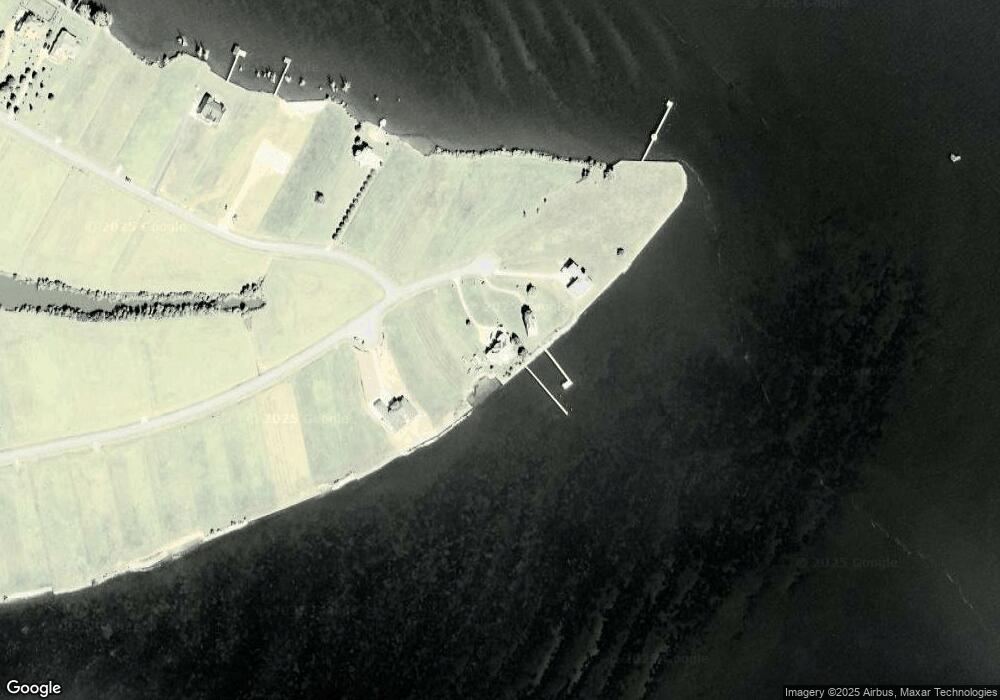
Map
Nearby Homes
- 000 Royal Tern
- 189 Bald Eagle Pointe
- 170 Bald Eagle Point Dr
- Lot 216 Bald Eagle Point Dr
- Lot 126 Royal Tern Way
- 101 Royal Tern Way
- 114 Common Loon
- Lot 188 Sandpiper Dr
- Lot 111 Sandpiper Dr
- Lot 195 Sandpiper Dr
- 199 Sandpiper Dr
- 204a Sandpiper Dr Unit lot 204a
- 204b Sandpiper Dr Unit lot 204b
- Lot 204a Sandpiper Dr
- 204b Sandpiper Dr
- 102 Sandpiper Dr
- #104 Sandpiper Dr
- 198 Sandpiper Dr
- Lot 65 Pelican Ct
- Lot 90 Pelican Ct
- 230 Bald Eagle Point Dr
- 234 Bald Eagle Point Dr
- 260 Bald Eagle Point Dr
- Lot 210 Bald Eagle Pointe
- 238 Bald Eagle Point Dr
- 218 Bald Eagle Point Dr
- 171 Royal Tern Way
- 0 Royal Tern Unit 8104680
- 0 Royal Tern Unit 8105720
- 0 Royal Tern Unit 8107859
- Lot 141 Royal Tern
- 000 Royal Tern Unit lot 229
- 139 Royal Tern
- 149 Royal Tern Way
- 0 Tbd Royal Tern Way Unit 8107859
- 0 Tbd Royal Tern Way Unit 108642
- 0 Tbd Royal Tern Way Unit 119504
- 0 Tbd Royal Tern Way Unit 107859
- 0 Tbd Royal Tern Way Unit 118701
- Lot 180 Bald Eagle Pointe