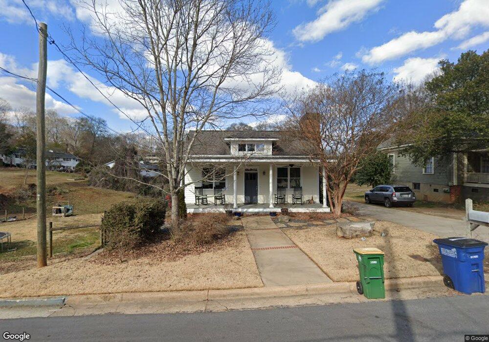
230 Barrow St Athens, GA 30601
Newtown NeighborhoodEstimated Value: $443,795 - $768,000
3
Beds
3
Baths
1,580
Sq Ft
$350/Sq Ft
Est. Value
About This Home
This home is located at 230 Barrow St, Athens, GA 30601 and is currently estimated at $553,449, approximately $350 per square foot. 230 Barrow St is a home located in Clarke County with nearby schools including Johnnie Lay Burks Elementary School, Clarke Middle School, and Clarke Central High School.
Ownership History
Date
Name
Owned For
Owner Type
Purchase Details
Closed on
Jan 31, 2012
Bought by
Wells Walter N
Current Estimated Value
Purchase Details
Closed on
Apr 27, 2011
Sold by
Wells Walter
Bought by
Georgia Land Holdings Llc
Purchase Details
Closed on
Dec 8, 2006
Sold by
Not Provided
Bought by
Georgia Land Tr Holdings Llc
Purchase Details
Closed on
Jan 13, 1998
Sold by
Fortson Jeptha M
Bought by
Greenwood Barks Cole and Barks Benjamin
Create a Home Valuation Report for This Property
The Home Valuation Report is an in-depth analysis detailing your home's value as well as a comparison with similar homes in the area
Home Values in the Area
Average Home Value in this Area
Purchase History
| Date | Buyer | Sale Price | Title Company |
|---|---|---|---|
| Wells Walter N | -- | -- | |
| Georgia Land Holdings Llc | $321,000 | -- | |
| Georgia Land Tr Holdings Llc | $72,000 | -- | |
| Greenwood Barks Cole | $70,000 | -- |
Source: Public Records
Tax History Compared to Growth
Tax History
| Year | Tax Paid | Tax Assessment Tax Assessment Total Assessment is a certain percentage of the fair market value that is determined by local assessors to be the total taxable value of land and additions on the property. | Land | Improvement |
|---|---|---|---|---|
| 2025 | $5,689 | $183,215 | $20,000 | $163,215 |
| 2024 | $4,783 | $169,030 | $20,000 | $149,030 |
| 2023 | $4,783 | $155,827 | $20,000 | $135,827 |
| 2022 | $4,513 | $141,464 | $20,000 | $121,464 |
| 2021 | $4,038 | $119,809 | $20,000 | $99,809 |
| 2020 | $3,817 | $113,253 | $18,000 | $95,253 |
| 2019 | $3,592 | $105,817 | $18,000 | $87,817 |
| 2018 | $3,632 | $106,982 | $18,000 | $88,982 |
| 2017 | $3,062 | $90,187 | $18,000 | $72,187 |
| 2016 | $3,062 | $90,186 | $18,000 | $72,186 |
| 2015 | $3,066 | $90,186 | $18,000 | $72,186 |
| 2014 | $3,055 | $89,725 | $16,000 | $73,725 |
Source: Public Records
Map
Nearby Homes
- 559 Pulaski St
- 145 Hendrix Ave
- 570 Prince Ave
- 100 Prince Ave Unit A404
- 100 Prince Ave Unit A407
- 600 Pulaski St
- 668 Pulaski St
- 257 Hill St
- 270 Atlanta Ave
- 195 Beulah Ave
- 468 N Milledge Ave Unit 203
- 697 Barber St
- 269 N Hull St Unit 212
- 250 W Broad St Unit 811
- 250 W Broad St Unit 521
- 250 W Broad St Unit 408
- 250 W Broad St Unit 615
- 552 Cobb St
- 131 E Broad St Unit 707
- 224 Barrow St
- 240 Barrow St
- 198 Barrow St
- 250 Barrow St
- 197 Childs St Unit 2
- 197 Childs St
- 270 Barrow St
- 180 Barrow St
- 243 Barrow St
- 244 Barber St Unit Seville Gardens
- 244 Barber St Unit A6
- 244 Barber St
- 195 Barrow St
- 263 Barrow St
- 263 Barrow St Unit A
- 263 Barrow St Unit B
- 194 Childs St
- 150 Barrow St
- 238 Barber St Unit A
- 238 Barber St