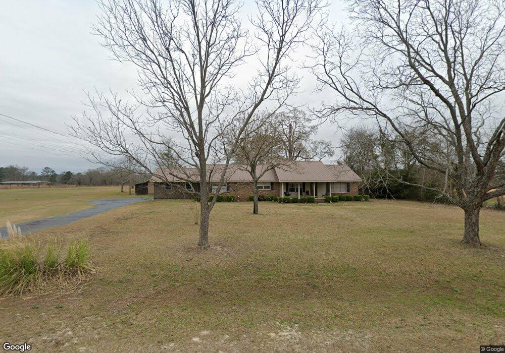
230 Bates Rd Cochran, GA 31014
Estimated Value: $206,000 - $251,000
3
Beds
2
Baths
2,016
Sq Ft
$117/Sq Ft
Est. Value
About This Home
This home is located at 230 Bates Rd, Cochran, GA 31014 and is currently estimated at $236,144, approximately $117 per square foot. 230 Bates Rd is a home located in Bleckley County with nearby schools including Bleckley County Primary School, Bleckley County Elementary School, and Bleckley Middle School.
Ownership History
Date
Name
Owned For
Owner Type
Purchase Details
Closed on
Dec 15, 2014
Sold by
King Lisa F
Bought by
Thompson Ronald L and Thompson Fay S
Current Estimated Value
Purchase Details
Closed on
Apr 9, 2004
Sold by
Thompson Ronald L and Thompson Fay S
Bought by
King Kristopher D and King Lisa F
Purchase Details
Closed on
Feb 1, 1999
Sold by
Thompson Ronald L
Bought by
Thompson Ronald L
Purchase Details
Closed on
Jan 25, 1973
Bought by
Thompson Ronald L
Create a Home Valuation Report for This Property
The Home Valuation Report is an in-depth analysis detailing your home's value as well as a comparison with similar homes in the area
Home Values in the Area
Average Home Value in this Area
Purchase History
| Date | Buyer | Sale Price | Title Company |
|---|---|---|---|
| Thompson Ronald L | -- | -- | |
| King Kristopher D | -- | -- | |
| Thompson Ronald L | -- | -- | |
| Thompson Ronald L | -- | -- |
Source: Public Records
Tax History Compared to Growth
Tax History
| Year | Tax Paid | Tax Assessment Tax Assessment Total Assessment is a certain percentage of the fair market value that is determined by local assessors to be the total taxable value of land and additions on the property. | Land | Improvement |
|---|---|---|---|---|
| 2024 | $2,125 | $81,424 | $5,920 | $75,504 |
| 2023 | $2,490 | $91,744 | $5,920 | $85,824 |
| 2022 | $1,695 | $81,624 | $5,920 | $75,704 |
| 2021 | $1,814 | $64,284 | $4,720 | $59,564 |
| 2020 | $1,173 | $69,924 | $4,720 | $65,204 |
| 2019 | $1,175 | $42,270 | $7,200 | $35,070 |
| 2018 | $1,243 | $42,270 | $7,200 | $35,070 |
| 2017 | $1,183 | $42,270 | $7,200 | $35,070 |
| 2016 | $1,185 | $42,270 | $7,200 | $35,070 |
| 2015 | -- | $42,270 | $7,200 | $35,070 |
| 2014 | -- | $39,050 | $3,980 | $35,070 |
| 2013 | -- | $39,050 | $3,980 | $35,070 |
Source: Public Records
Map
Nearby Homes
- 415 Ga Highway 257
- 596 Ga Highway 257
- 187 Osprey Rd
- 0 Jordan Place
- LOT 46 Woodland Trail Rd
- LOT 47 Woodland Trail Rd
- LOT 24 Woodland Trail Rd
- 0 Woodland Trail Rd Unit 12994880
- 169 Woodland Trail Rd
- 0 Mac Thompson Rd Unit 255994
- 0 Mac Thompson Rd Unit 16072590
- 840 Limestone Rd
- 176 Pineland Estates Rd
- 119 Moll Dr
- 406 Mac Thompson Rd
- RV Park Mac Thompson Rd
- Land Mac Thompson Rd
- 0 Wood Oak Cir Unit 233873
- 0 Wood Oak Cir Unit 9278951
- 150 Wood Oak Cir