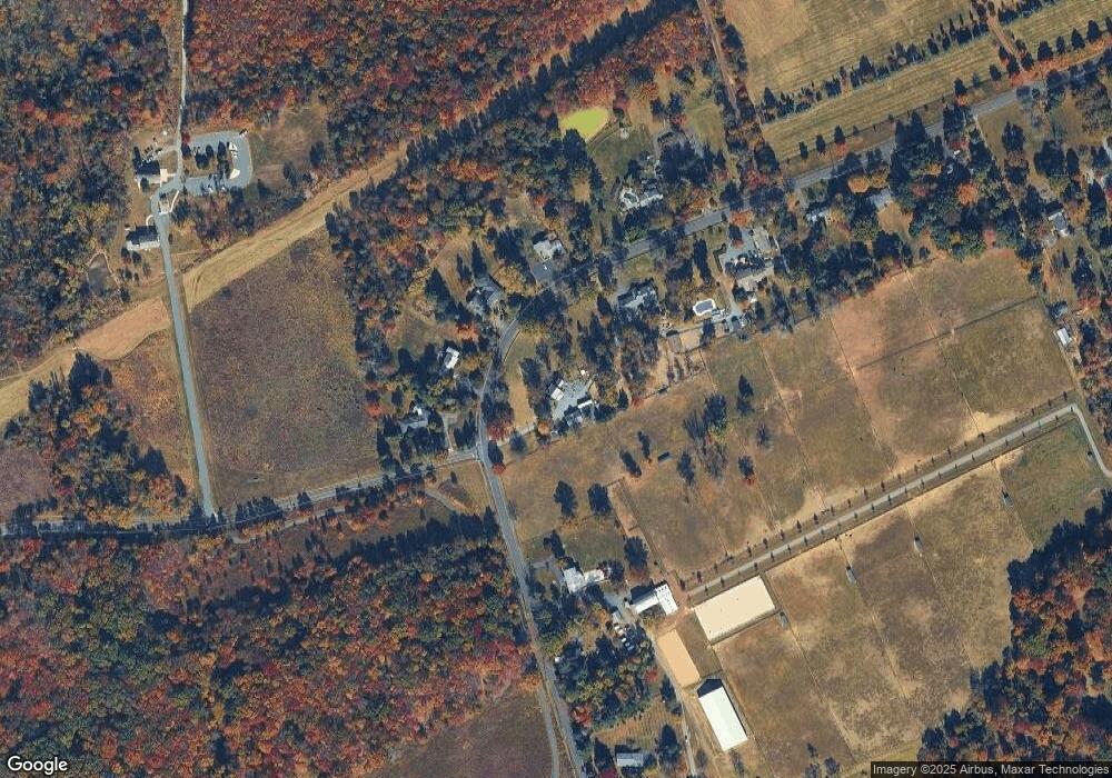
230 Cold Soil Rd Princeton, NJ 08540
Estimated Value: $765,000 - $938,000
--
Bed
--
Bath
2,568
Sq Ft
$328/Sq Ft
Est. Value
About This Home
This home is located at 230 Cold Soil Rd, Princeton, NJ 08540 and is currently estimated at $842,643, approximately $328 per square foot. 230 Cold Soil Rd is a home located in Mercer County with nearby schools including Lawrence High School, Guidepost Montessori at Lawrenceville, and Saint Ann School.
Ownership History
Date
Name
Owned For
Owner Type
Purchase Details
Closed on
Oct 5, 2022
Sold by
Buxton'S Acres Llc
Bought by
Buxton'S Acres Llc
Current Estimated Value
Purchase Details
Closed on
Jun 17, 2010
Sold by
Bartaris Family Trust and Mansmann Jane
Bought by
Buxtons Acres Llc
Home Financials for this Owner
Home Financials are based on the most recent Mortgage that was taken out on this home.
Original Mortgage
$520,000
Interest Rate
5.03%
Mortgage Type
Purchase Money Mortgage
Create a Home Valuation Report for This Property
The Home Valuation Report is an in-depth analysis detailing your home's value as well as a comparison with similar homes in the area
Home Values in the Area
Average Home Value in this Area
Purchase History
| Date | Buyer | Sale Price | Title Company |
|---|---|---|---|
| Buxton'S Acres Llc | -- | -- | |
| Buxton'S Acres Llc | -- | None Listed On Document | |
| Buxtons Acres Llc | $482,500 | Multiple |
Source: Public Records
Mortgage History
| Date | Status | Borrower | Loan Amount |
|---|---|---|---|
| Previous Owner | Buxtons Acres Llc | $520,000 |
Source: Public Records
Tax History Compared to Growth
Tax History
| Year | Tax Paid | Tax Assessment Tax Assessment Total Assessment is a certain percentage of the fair market value that is determined by local assessors to be the total taxable value of land and additions on the property. | Land | Improvement |
|---|---|---|---|---|
| 2025 | $16,029 | $517,400 | $243,600 | $273,800 |
| 2024 | $15,138 | $517,400 | $243,600 | $273,800 |
| 2023 | $15,138 | $498,600 | $243,600 | $255,000 |
| 2022 | $14,863 | $498,600 | $243,600 | $255,000 |
| 2021 | $14,674 | $498,600 | $243,600 | $255,000 |
| 2020 | $14,469 | $498,600 | $243,600 | $255,000 |
| 2019 | $14,285 | $498,600 | $243,600 | $255,000 |
| 2018 | $13,961 | $498,600 | $243,600 | $255,000 |
| 2017 | $13,896 | $498,600 | $243,600 | $255,000 |
| 2016 | $13,692 | $498,600 | $243,600 | $255,000 |
| 2015 | $13,313 | $498,600 | $243,600 | $255,000 |
| 2014 | $13,063 | $498,600 | $243,600 | $255,000 |
Source: Public Records
Map
Nearby Homes
- 147 Ada Hightower Ave
- 2107 Prince Hall Dr
- 141 Ada Hightower Ave
- 143 Ada Hightower Ave
- 149 Ada Hightower Ave
- 139 Ada Hightower Ave
- 21 Jasmine Ct
- 147 Carter Rd
- 10 Tall Timbers Dr
- 10 Carter Rd
- 6 Carter Rd
- 32 Juniper Ct
- 33 Cypress Ct
- 85 Carter Rd
- 13 Azalea Ct
- 15 Coral Tree Ct
- 19 Carson Rd
- 272 Carter Rd
- 84 Sycamore Ct
- 6 Barclay Ct
- 227 Cold Soil Rd
- 236 Cold Soil Rd
- 229 Cold Soil Rd
- 223 Cold Soil Rd
- 233 Cold Soil Rd
- 240C Cold Soil Rd
- 240B Cold Soil Rd
- 240A Cold Soil Rd
- 241 Cold Soil Rd
- 246 Cold Soil Rd
- 1 Jochris Dr
- 250 Cold Soil Rd
- 254 Cold Soil Rd
- 198 Cold Soil Rd
- 2 Jochris Dr
- 256 Cold Soil Rd
- 194 Cold Soil Rd
- 260 Cold Soil Rd
- 190 Cold Soil Rd
- 9 Toftrees Ct
