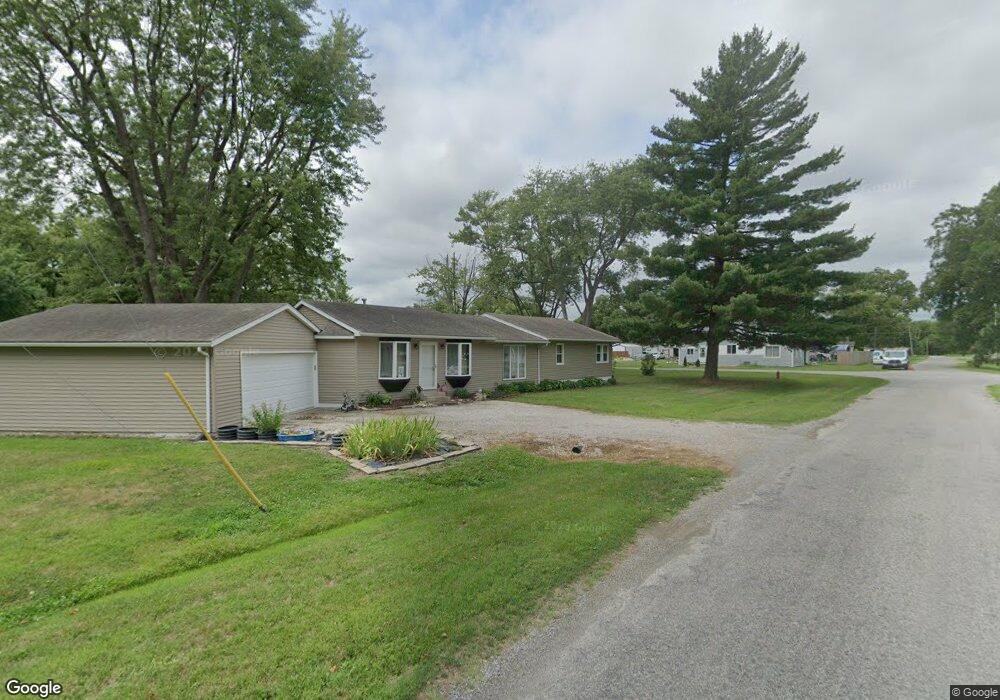
230 E Walnut St New Memphis, IL 62266
Estimated Value: $111,000 - $331,000
Studio
--
Bath
1,664
Sq Ft
$115/Sq Ft
Est. Value
About This Home
This home is located at 230 E Walnut St, New Memphis, IL 62266 and is currently estimated at $192,153, approximately $115 per square foot. 230 E Walnut St is a home with nearby schools including Wesclin Middle School and Wesclin Sr High School.
Create a Home Valuation Report for This Property
The Home Valuation Report is an in-depth analysis detailing your home's value as well as a comparison with similar homes in the area
Tax History
| Year | Tax Paid | Tax Assessment Tax Assessment Total Assessment is a certain percentage of the fair market value that is determined by local assessors to be the total taxable value of land and additions on the property. | Land | Improvement |
|---|---|---|---|---|
| 2024 | $1,978 | $42,440 | $8,140 | $34,300 |
| 2023 | $1,978 | $40,420 | $7,750 | $32,670 |
| 2022 | $1,897 | $38,130 | $7,310 | $30,820 |
| 2021 | $997 | $37,020 | $7,100 | $29,920 |
| 2020 | $1,028 | $34,930 | $6,700 | $28,230 |
| 2019 | $1,054 | $34,930 | $6,700 | $28,230 |
| 2018 | $1,447 | $26,172 | $6,901 | $19,271 |
| 2017 | $1,441 | $25,410 | $6,700 | $18,710 |
| 2016 | $1,428 | $25,410 | $6,700 | $18,710 |
| 2015 | $1,358 | $25,410 | $6,700 | $18,710 |
| 2013 | $1,358 | $27,720 | $6,700 | $21,020 |
Source: Public Records
Map
Nearby Homes
- 232 Walnut St
- 228 Walnut
- 244 Walnut
- 12 S Clinton St
- 301 W Hanover St
- 808 E Birch St
- 202 W Hanover St
- 1009 Pine St
- 101 W Birch St
- 409 Thouvenot Ln
- 91 Weatherholt Dr
- 605 Janet Ct
- 301 W Oak St
- 1009 Pennsylvania Ave
- 625 Christopher Ln
- 10971 Platinum Ln
- 1 Larkspur Dr
- 5929 Highbanks Rd
- 6450 Timber Lane Dr
- 3040 Court Rd
Your Personal Tour Guide
Ask me questions while you tour the home.