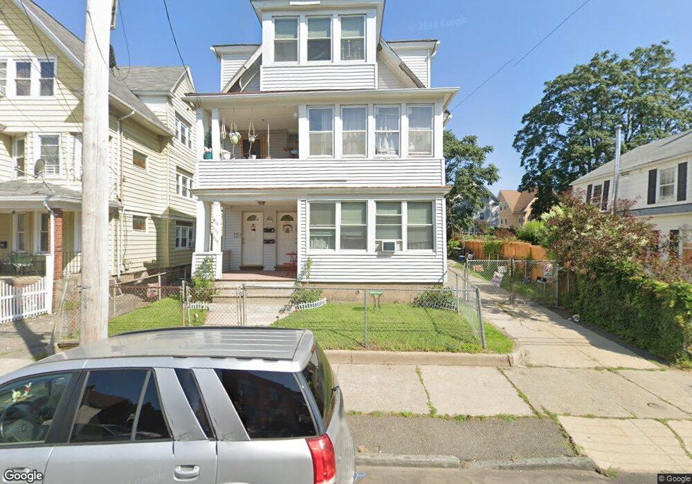
230 Federal St Unit 234 Bridgeport, CT 06606
Brooklawn-Saint Vincent NeighborhoodEstimated Value: $668,435 - $745,000
6
Beds
3
Baths
3,626
Sq Ft
$192/Sq Ft
Est. Value
About This Home
This home is located at 230 Federal St Unit 234, Bridgeport, CT 06606 and is currently estimated at $697,859, approximately $192 per square foot. 230 Federal St Unit 234 is a home located in Fairfield County with nearby schools including Read School, Central High School, and Catholic Academy of Bridgeport-St. Raphael Academy.
Ownership History
Date
Name
Owned For
Owner Type
Purchase Details
Closed on
Jun 2, 2025
Sold by
Sierra Manuel A and Sierra Magali
Bought by
Singh Ricky
Current Estimated Value
Home Financials for this Owner
Home Financials are based on the most recent Mortgage that was taken out on this home.
Original Mortgage
$535,000
Outstanding Balance
$533,627
Interest Rate
6.81%
Mortgage Type
Purchase Money Mortgage
Estimated Equity
$164,232
Purchase Details
Closed on
Apr 18, 1995
Sold by
Devellis Joseph and Porco Silvana D
Bought by
Sierra Manuel A and Sierra Magali
Create a Home Valuation Report for This Property
The Home Valuation Report is an in-depth analysis detailing your home's value as well as a comparison with similar homes in the area
Home Values in the Area
Average Home Value in this Area
Purchase History
| Date | Buyer | Sale Price | Title Company |
|---|---|---|---|
| Singh Ricky | $669,500 | None Available | |
| Singh Ricky | $669,500 | None Available | |
| Sierra Manuel A | $142,000 | -- | |
| Sierra Manuel A | $142,000 | -- |
Source: Public Records
Mortgage History
| Date | Status | Borrower | Loan Amount |
|---|---|---|---|
| Open | Singh Ricky | $535,000 | |
| Closed | Singh Ricky | $535,000 | |
| Previous Owner | Sierra Manuel A | $280,000 | |
| Previous Owner | Sierra Manuel A | $221,000 | |
| Previous Owner | Sierra Manuel A | $153,000 |
Source: Public Records
Tax History Compared to Growth
Tax History
| Year | Tax Paid | Tax Assessment Tax Assessment Total Assessment is a certain percentage of the fair market value that is determined by local assessors to be the total taxable value of land and additions on the property. | Land | Improvement |
|---|---|---|---|---|
| 2025 | $9,441 | $217,290 | $71,230 | $146,060 |
| 2024 | $9,441 | $217,290 | $71,230 | $146,060 |
| 2023 | $9,441 | $217,290 | $71,230 | $146,060 |
| 2022 | $9,441 | $217,290 | $71,230 | $146,060 |
| 2021 | $9,441 | $217,290 | $71,230 | $146,060 |
| 2020 | $9,494 | $175,840 | $43,160 | $132,680 |
| 2019 | $9,494 | $175,840 | $43,160 | $132,680 |
| 2018 | $9,560 | $175,840 | $43,160 | $132,680 |
| 2017 | $9,560 | $175,840 | $43,160 | $132,680 |
| 2016 | $9,560 | $175,840 | $43,160 | $132,680 |
| 2015 | $9,661 | $228,930 | $43,530 | $185,400 |
| 2014 | $9,661 | $228,930 | $43,530 | $185,400 |
Source: Public Records
Map
Nearby Homes
- 390 Charles St Unit 106
- 724 Capitol Ave Unit 726
- 119 Madison Terrace
- 2395 Main St Unit 2397
- 31 Taft Ave
- 90 Tom Thumb St
- 78 Fairmount Ave
- 76 Porter St
- 508 Hawley Ave
- 330 French St
- 201 High Ridge Dr
- 25 Manhattan Ave Unit 27
- 106 Manhattan Ave Unit 108
- 356 Taft Ave
- 203 Wayne St
- 241 Sampson St
- 123 Harlem Ave
- 11 Myron Ave
- 1275 Capitol Ave
- 150 Alexander Dr
- 238 Federal St Unit 240
- 222 Federal St
- 246 Federal St Unit 248
- 210 Federal St
- 249 Federal St Unit 253
- 254 Federal St Unit 256
- 757 Capitol Ave
- 741 Capitol Ave Unit 745
- 735 Capitol Ave Unit 737
- 241 Federal St Unit 243
- 755 Capitol Ave
- 200 Federal St
- 759 Capitol Ave Unit 761
- 759 Capitol Ave Unit 3RD F
- 262 Federal St Unit 264
- 713 Capitol Ave Unit 715
- 767 Capitol Ave Unit 769
- 192 Federal St Unit 194
- 192 Federal St Unit 1ST
- 194 Federal St Unit 3