230 Forest St Port Saint Joe, FL 32456
Estimated Value: $291,169 - $738,000
2
Beds
2
Baths
1,800
Sq Ft
$277/Sq Ft
Est. Value
About This Home
This home is located at 230 Forest St, Port Saint Joe, FL 32456 and is currently estimated at $498,042, approximately $276 per square foot. 230 Forest St is a home located in Gulf County.
Ownership History
Date
Name
Owned For
Owner Type
Purchase Details
Closed on
Jun 2, 2016
Sold by
Mceniry Thomas and Mceniry Christine
Bought by
Melter Craig M and Beck Carolyn A
Current Estimated Value
Purchase Details
Closed on
May 26, 2016
Sold by
Diggs Karen M
Bought by
Melter Craig M and Beck Carolyn A
Purchase Details
Closed on
Apr 11, 2008
Sold by
Gilbert Lillie Mae
Bought by
Mceniry Thomas E and Mceniry Thomas E
Home Financials for this Owner
Home Financials are based on the most recent Mortgage that was taken out on this home.
Original Mortgage
$108,000
Interest Rate
6.22%
Mortgage Type
Unknown
Create a Home Valuation Report for This Property
The Home Valuation Report is an in-depth analysis detailing your home's value as well as a comparison with similar homes in the area
Home Values in the Area
Average Home Value in this Area
Purchase History
| Date | Buyer | Sale Price | Title Company |
|---|---|---|---|
| Melter Craig M | $75,000 | Attorney | |
| Melter Craig M | $75,000 | Attorney | |
| Mceniry Thomas E | $120,000 | Attorney |
Source: Public Records
Mortgage History
| Date | Status | Borrower | Loan Amount |
|---|---|---|---|
| Previous Owner | Mceniry Thomas E | $108,000 |
Source: Public Records
Tax History Compared to Growth
Tax History
| Year | Tax Paid | Tax Assessment Tax Assessment Total Assessment is a certain percentage of the fair market value that is determined by local assessors to be the total taxable value of land and additions on the property. | Land | Improvement |
|---|---|---|---|---|
| 2024 | $1,912 | $212,067 | $55,000 | $157,067 |
| 2023 | $1,987 | $219,225 | $55,000 | $164,225 |
| 2022 | $1,277 | $98,957 | $33,495 | $65,462 |
| 2021 | $1,208 | $90,824 | $30,450 | $60,374 |
| 2020 | $1,053 | $75,768 | $18,270 | $57,498 |
| 2019 | $1,062 | $75,498 | $18,000 | $57,498 |
| 2018 | $1,078 | $75,497 | $0 | $0 |
| 2017 | $1,005 | $70,172 | $0 | $0 |
| 2016 | $540 | $73,799 | $0 | $0 |
| 2015 | $566 | $74,748 | $0 | $0 |
| 2014 | $545 | $75,696 | $0 | $0 |
Source: Public Records
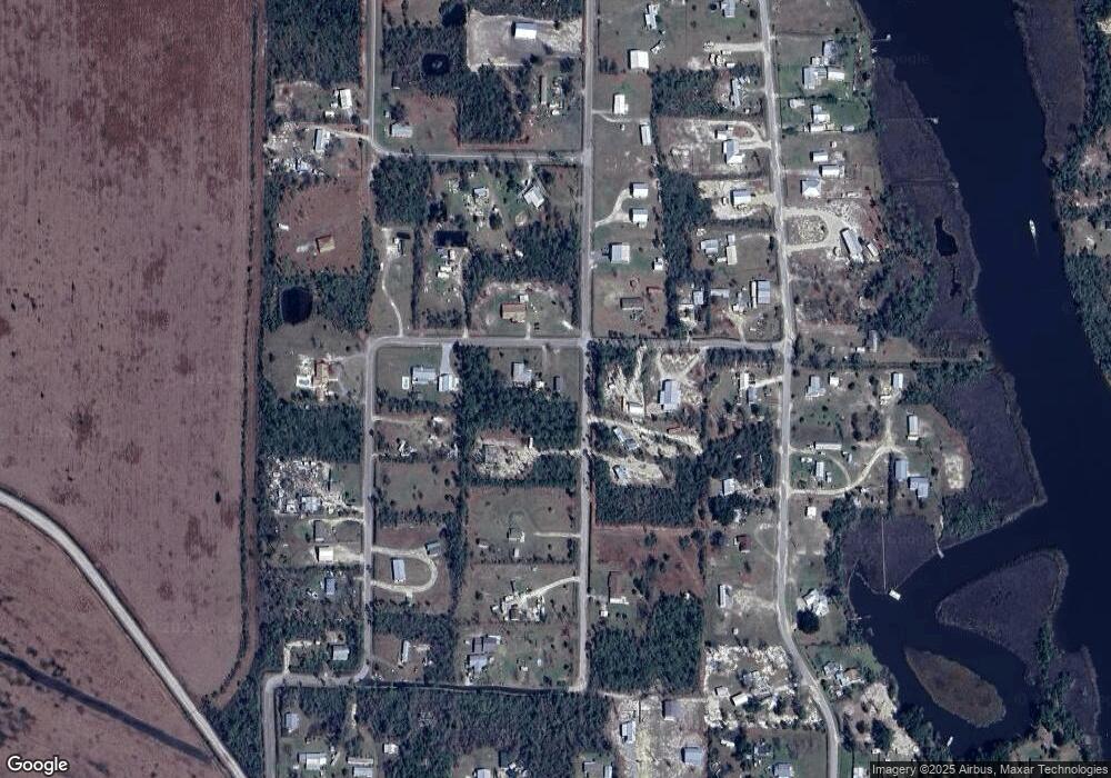
Map
Nearby Homes
- Lot 1 Palmetto Dr
- 536 N Canal Dr
- 333 Firehouse Rd
- 7 Whippoorwill Ave
- 178 S Canal Dr
- 105 Chapel Ln
- 156 S Canal Dr
- 164 S Canal Dr
- 162 S Canal Dr Unit Lot 2- Ar
- 156 S Canal Dr Unit 1-ar
- 158 S Canal Dr Unit 2-br
- 164 S Canal Dr Unit 1-br
- 976 S Long St
- TBD S Long St
- 3640 Cr 386 S
- Lot 12 Pleasant Rest Rd
- Lot 11 Pleasant Rest Rd
- 121 Yellowfin Dr Unit Lot 5
- 137 Yellowfin Dr Unit Lot 4
- 181 Marshall Ln
- 220 Forest St
- 227 Forest St
- 240 Palmetto Dr
- 158 Forest St
- 0 Forest St
- TBD Forest St
- 270 Forest St
- 640 N Long St
- 124 Scrub Oak St
- 185 Palmetto Dr
- 0 Palmetto Way
- 326 Palmetto Dr
- 661 N Long St
- 125 Forest St
- 152 Palmetto Dr
- 475 N Canal Dr
- 611 N Long St
- 497 Palmetto Dr
- 0 Palmetto Dr Unit 254202
- 0 Palmetto Dr Unit 254201