Estimated Value: $310,805 - $346,000
3
Beds
2
Baths
2,284
Sq Ft
$143/Sq Ft
Est. Value
About This Home
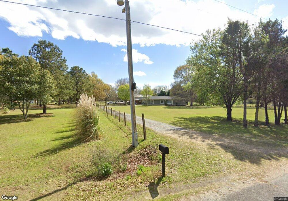
This home is located at 230 Hayes Rd, Byron, GA 31008 and is currently estimated at $326,201, approximately $142 per square foot. 230 Hayes Rd is a home located in Peach County with nearby schools including Byron Elementary School, Byron Middle School, and Peach County High School.
Ownership History
Date
Name
Owned For
Owner Type
Purchase Details
Closed on
Nov 27, 2001
Sold by
Taylor Paula M and Taylor Robert D
Bought by
Vance James E and Vance Angelia F
Current Estimated Value
Purchase Details
Closed on
Dec 28, 1998
Bought by
Taylor Paula M and Taylor Robert D
Purchase Details
Closed on
May 9, 1996
Bought by
Nix Paula M
Purchase Details
Closed on
Jan 2, 1992
Bought by
Nix Paula M and Nix William R
Purchase Details
Closed on
Jul 8, 1987
Sold by
Sheppard James W -
Bought by
Sheppard Nancy Rigo Etal
Purchase Details
Closed on
Dec 12, 1984
Bought by
Sheppard James W and Sheppard Nancy R
Create a Home Valuation Report for This Property
The Home Valuation Report is an in-depth analysis detailing your home's value as well as a comparison with similar homes in the area
Home Values in the Area
Average Home Value in this Area
Purchase History
| Date | Buyer | Sale Price | Title Company |
|---|---|---|---|
| Vance James E | $100,000 | -- | |
| Taylor Paula M | -- | -- | |
| Nix Paula M | -- | -- | |
| Nix Paula M | $16,000 | -- | |
| Sheppard Nancy Rigo Etal | -- | -- | |
| Sheppard James W | -- | -- |
Source: Public Records
Tax History Compared to Growth
Tax History
| Year | Tax Paid | Tax Assessment Tax Assessment Total Assessment is a certain percentage of the fair market value that is determined by local assessors to be the total taxable value of land and additions on the property. | Land | Improvement |
|---|---|---|---|---|
| 2024 | $1,643 | $72,040 | $13,000 | $59,040 |
| 2023 | $2,168 | $72,960 | $10,400 | $62,560 |
| 2022 | $1,888 | $62,560 | $10,400 | $52,160 |
| 2021 | $1,902 | $54,400 | $10,400 | $44,000 |
| 2020 | $2,072 | $59,840 | $10,400 | $49,440 |
| 2019 | $2,045 | $58,680 | $9,240 | $49,440 |
| 2018 | $2,054 | $58,680 | $9,240 | $49,440 |
| 2017 | $2,064 | $58,680 | $9,240 | $49,440 |
| 2016 | $2,056 | $58,680 | $9,240 | $49,440 |
| 2015 | $2,059 | $58,680 | $9,240 | $49,440 |
| 2014 | $2,062 | $58,680 | $9,240 | $49,440 |
| 2013 | -- | $58,680 | $9,240 | $49,440 |
Source: Public Records
Map
Nearby Homes
- 510 Southland Trail
- 408 Dixieland Dr
- 35 Falcon Crest Way
- 125 Peregrine Dr
- 302 Southland Trail
- 274 Kelli Dr
- 254 Shantz Way Unit (LOT A44)
- Lot 5 Trojan Way
- Lot 6 Trojan Way
- Lot 2 Trojan Way
- 555 Kimberly Dr
- Lot 1 Trojan Way
- 0 Highway 42 Unit 10576098
- 81 Idell Ct
- 1947 Georgia 42
- 0 Barker Rd Unit 243030
- 0 Barker Rd Unit 14258525
- 0 Barker Rd Unit 175053
- 51 Allred Rd
- 165 Lakeview Rd